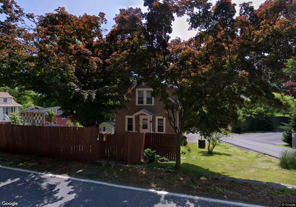
135 Dogwood Rd Cortlandt Manor, NY 10567
Estimated Value: $483,000 - $523,000
3
Beds
2
Baths
1,500
Sq Ft
$338/Sq Ft
Est. Value
About This Home
This home is located at 135 Dogwood Rd, Cortlandt Manor, NY 10567 and is currently estimated at $507,335, approximately $338 per square foot. 135 Dogwood Rd is a home located in Westchester County with nearby schools including Lakeland-Copper Beech Middle School, Walter Panas High School, and St Columbanus School.
Ownership History
Date
Name
Owned For
Owner Type
Purchase Details
Closed on
Aug 5, 2015
Sold by
Bennett Troy A and Bennett Barry S
Bought by
Ribas Yuni Loor
Current Estimated Value
Home Financials for this Owner
Home Financials are based on the most recent Mortgage that was taken out on this home.
Original Mortgage
$181,649
Outstanding Balance
$144,637
Interest Rate
4.4%
Mortgage Type
FHA
Estimated Equity
$362,698
Purchase Details
Closed on
May 23, 2005
Create a Home Valuation Report for This Property
The Home Valuation Report is an in-depth analysis detailing your home's value as well as a comparison with similar homes in the area
Home Values in the Area
Average Home Value in this Area
Purchase History
| Date | Buyer | Sale Price | Title Company |
|---|---|---|---|
| Ribas Yuni Loor | $185,000 | The Judicial Title Ins Agenc | |
| -- | -- | -- |
Source: Public Records
Mortgage History
| Date | Status | Borrower | Loan Amount |
|---|---|---|---|
| Open | Ribas Yuni Loor | $181,649 |
Source: Public Records
Tax History Compared to Growth
Tax History
| Year | Tax Paid | Tax Assessment Tax Assessment Total Assessment is a certain percentage of the fair market value that is determined by local assessors to be the total taxable value of land and additions on the property. | Land | Improvement |
|---|---|---|---|---|
| 2024 | $8,508 | $4,025 | $475 | $3,550 |
| 2023 | $8,256 | $4,025 | $475 | $3,550 |
| 2022 | $8,140 | $4,025 | $475 | $3,550 |
| 2021 | $8,113 | $4,025 | $475 | $3,550 |
| 2020 | $8,099 | $4,025 | $475 | $3,550 |
| 2019 | $8,038 | $4,025 | $475 | $3,550 |
| 2018 | $7,955 | $4,025 | $475 | $3,550 |
| 2017 | -- | $4,025 | $475 | $3,550 |
| 2016 | $7,688 | $4,025 | $475 | $3,550 |
| 2015 | -- | $4,025 | $475 | $3,550 |
| 2014 | -- | $4,025 | $475 | $3,550 |
| 2013 | -- | $4,025 | $475 | $3,550 |
Source: Public Records
Map
Nearby Homes
- 8 Crescent Hill Dr
- 144 Dogwood Rd
- 12 Brook Dr
- 7 Adair Rd
- 931 N Division St
- 916 Bernard Rd
- 78 Eton Ln
- 809 Oakwood Dr
- 270 Locust Ave
- 964 Pemart Ave
- 55 Putnam Rd
- 669 N Division St
- 5 Rolling Way Unit K
- 4 Rolling Way Unit M
- 16 Peggy Ln
- 7 Mcdougal Ln
- 237 Sprout Brook Rd
- 635 N Division St
- 66 Putnam Rd
- 7 N James St Unit L
- 137 Dogwood Rd
- 0 Crescent Hill Dr
- 20 Crescent Hill Dr
- 139 Dogwood Rd
- 133 Dogwood Rd
- 18 Crescent Hill Dr
- 125 Dogwood Rd
- 119 Dogwood Rd
- 141 Dogwood Rd
- 16 Crescent Hill Dr
- 127 Dogwood Rd
- 14 Crescent Hill Dr
- 128 Dogwood Rd
- 143 Dogwood Rd
- 12 Crescent Hill Dr
- 10 Crescent Hill Dr
- 4 Radio Terrace
- 18 Radio Terrace
- 9 Crescent Hill Dr
- 101 Dogwood Rd