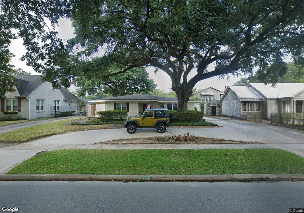
135 E Circuit Dr Beaumont, TX 77706
South CANA NeighborhoodEstimated Value: $243,000 - $353,000
--
Bed
--
Bath
1,734
Sq Ft
$159/Sq Ft
Est. Value
About This Home
This home is located at 135 E Circuit Dr, Beaumont, TX 77706 and is currently estimated at $275,271, approximately $158 per square foot. 135 E Circuit Dr is a home located in Jefferson County with nearby schools including Curtis Elementary School, Marshall Middle School, and West Brook Sr High School.
Ownership History
Date
Name
Owned For
Owner Type
Purchase Details
Closed on
Sep 24, 2015
Sold by
Hinds Katia M
Bought by
Cole Ruth Lynn
Current Estimated Value
Purchase Details
Closed on
Mar 20, 2008
Sold by
Lynch Elizabeth C Peet
Bought by
Hinds Katia M
Home Financials for this Owner
Home Financials are based on the most recent Mortgage that was taken out on this home.
Original Mortgage
$120,400
Interest Rate
5.67%
Mortgage Type
Purchase Money Mortgage
Create a Home Valuation Report for This Property
The Home Valuation Report is an in-depth analysis detailing your home's value as well as a comparison with similar homes in the area
Home Values in the Area
Average Home Value in this Area
Purchase History
| Date | Buyer | Sale Price | Title Company |
|---|---|---|---|
| Cole Ruth Lynn | -- | Attorney | |
| Hinds Katia M | -- | None Available |
Source: Public Records
Mortgage History
| Date | Status | Borrower | Loan Amount |
|---|---|---|---|
| Previous Owner | Hinds Katia M | $120,400 |
Source: Public Records
Tax History Compared to Growth
Tax History
| Year | Tax Paid | Tax Assessment Tax Assessment Total Assessment is a certain percentage of the fair market value that is determined by local assessors to be the total taxable value of land and additions on the property. | Land | Improvement |
|---|---|---|---|---|
| 2025 | $2,850 | $289,551 | $31,850 | $257,701 |
| 2024 | $2,850 | $264,721 | -- | -- |
| 2023 | $2,850 | $240,655 | $0 | $0 |
| 2022 | $5,717 | $218,777 | $0 | $0 |
| 2021 | $5,400 | $219,269 | $31,850 | $187,419 |
| 2020 | $3,464 | $180,807 | $31,850 | $148,957 |
| 2019 | $4,811 | $172,040 | $31,850 | $140,190 |
| 2018 | $3,233 | $158,900 | $31,850 | $127,050 |
| 2017 | $3,342 | $164,740 | $31,850 | $132,890 |
| 2016 | $4,530 | $164,740 | $31,850 | $132,890 |
| 2015 | $4,522 | $164,740 | $31,850 | $132,890 |
| 2014 | $4,522 | $164,740 | $31,850 | $132,890 |
Source: Public Records
Map
Nearby Homes
- 198 E Circuit Dr
- 180 Ridgeland Ave
- 725 Thomas Rd
- 250 E Circuit Dr
- 4375 W Broadway St
- 216 W Circuit Dr
- 5010 Swallow Dr
- 595 Hooks Ave
- 145 Manor St
- 260 Manor St
- 625 Hooks Ave Unit Hooks
- 5390 Swallow Dr
- 5530 Duff St
- 0 Gentry Rd
- 92 Sparrow Way
- 5580 Hooks Ave
- 560 24th St
- 520 24th St
- 5595 Frost St
- 4770 Vance St
- 125 E Circuit Dr
- 145 E Circuit Dr
- 115 E Circuit Dr
- 115 E Circuit Dr
- 150 Ridgeland St
- 175 E Circuit Dr
- 175 E Circuit Dr
- 170 Ridgeland St
- 130 E Circuit Dr
- 130 E Circuit Dr
- 120 E Circuit Dr
- 130 Ridgeland St
- 150 E Circuit Dr
- 185 E Circuit Dr
- 185 E Circuit Dr
- 180 Ridgeland St
- 170 E Circuit Dr
- 4490 Calder Ave
- 180 E Circuit Dr
- 180 E Circuit Dr