13500 Trail Driver St Austin, TX 78737
Estimated Value: $839,436 - $929,000
--
Bed
1
Bath
2,736
Sq Ft
$321/Sq Ft
Est. Value
About This Home
This home is located at 13500 Trail Driver St, Austin, TX 78737 and is currently estimated at $878,859, approximately $321 per square foot. 13500 Trail Driver St is a home located in Hays County with nearby schools including Dripping Springs Middle School and Dripping Springs High School.
Ownership History
Date
Name
Owned For
Owner Type
Purchase Details
Closed on
Dec 17, 2003
Sold by
Goode Glenn T and Davison Anne E
Bought by
Varnell Evan and Varnell Jill
Current Estimated Value
Home Financials for this Owner
Home Financials are based on the most recent Mortgage that was taken out on this home.
Original Mortgage
$159,750
Outstanding Balance
$74,748
Interest Rate
6.02%
Mortgage Type
Purchase Money Mortgage
Estimated Equity
$804,111
Create a Home Valuation Report for This Property
The Home Valuation Report is an in-depth analysis detailing your home's value as well as a comparison with similar homes in the area
Home Values in the Area
Average Home Value in this Area
Purchase History
| Date | Buyer | Sale Price | Title Company |
|---|---|---|---|
| Varnell Evan | -- | North American Title |
Source: Public Records
Mortgage History
| Date | Status | Borrower | Loan Amount |
|---|---|---|---|
| Open | Varnell Evan | $159,750 | |
| Closed | Varnell Evan | $44,000 |
Source: Public Records
Tax History Compared to Growth
Tax History
| Year | Tax Paid | Tax Assessment Tax Assessment Total Assessment is a certain percentage of the fair market value that is determined by local assessors to be the total taxable value of land and additions on the property. | Land | Improvement |
|---|---|---|---|---|
| 2025 | $7,532 | $608,886 | -- | -- |
| 2024 | $7,532 | $553,533 | $472,640 | $336,030 |
| 2023 | $7,599 | $503,212 | $472,640 | $395,655 |
| 2022 | $7,803 | $457,465 | $326,440 | $373,810 |
| 2021 | $7,781 | $415,877 | $113,660 | $365,230 |
| 2020 | $6,718 | $378,070 | $64,950 | $313,120 |
| 2019 | $7,300 | $353,980 | $50,330 | $303,650 |
| 2018 | $6,980 | $336,620 | $50,330 | $286,290 |
| 2017 | $6,578 | $314,820 | $50,330 | $264,490 |
| 2016 | $6,234 | $298,330 | $50,330 | $248,000 |
| 2015 | $5,405 | $284,820 | $50,330 | $234,490 |
Source: Public Records
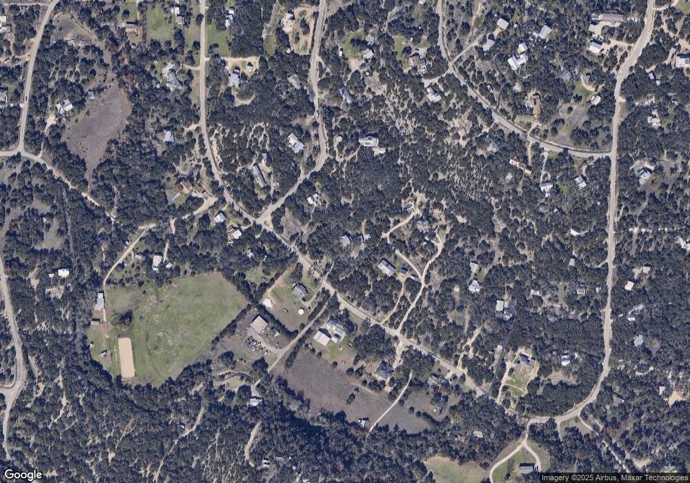
Map
Nearby Homes
- 13590 Paisano Trail
- 13601 Paisano Trail
- 5 Midnight Sky Dr
- 12904 Wells Fargo St
- 13400 Paisano Trail
- 13601 Paisano Cir
- 4 Midnight Sky Dr
- 400 Sundown Ridge
- 156 Sea Hero Place
- 12600 Trail Driver St
- 301 Sea Hero Place
- 190 Carol Ann Dr
- 12609 Pauls Valley Rd
- 13326 Trautwein Rd
- 12621 Fitzhugh Rd
- 16 Tall Oaks Trail
- 242 Winning Colors
- 281 Colonial Affair
- 162 Winning Colors
- 13005 D Fitzhugh Rd
- 13430 Trail Driver St
- 13508 Trail Driver St
- 13501 Trail Driver St
- 13601 Trail Driver St
- 13423 Trail Driver St
- 13205 Wells Fargo St
- 13208 Wells Fargo St
- 13208 Wells Fargo Trail
- 13600 Trail Driver St
- 13431 Trail Driver
- 13609 Trail Driver St
- 13310 Trail Driver St
- 13201 Wells Fargo Trail
- 13201 Wells Fargo St
- 13200 Wells Fargo Trail
- 13200 Wells Fargo St
- 13701 Trail Driver St
- 13325 Trail Driver St
- 12900 Shoshoni Trail
- 13304 Trail Driver St