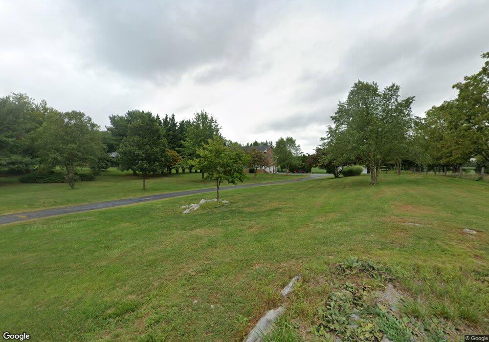
1359 State Line Rd Waynesboro, PA 17268
Estimated Value: $433,000 - $474,946
--
Bed
1
Bath
2,720
Sq Ft
$166/Sq Ft
Est. Value
About This Home
This home is located at 1359 State Line Rd, Waynesboro, PA 17268 and is currently estimated at $451,237, approximately $165 per square foot. 1359 State Line Rd is a home located in Franklin County with nearby schools including Greencastle-Antrim Primary School, Greencastle-Antrim Elementary School, and Greencastle-Antrim Middle School.
Ownership History
Date
Name
Owned For
Owner Type
Purchase Details
Closed on
Feb 10, 2021
Sold by
Kirby Daniel J and Gray Amanda L
Bought by
Kirby Daniel J and Kirby Amanda
Current Estimated Value
Purchase Details
Closed on
Jul 28, 2020
Sold by
Davis Markle Paul and Davis Carrie E
Bought by
Kirby Daniel J and Gray Amanda L
Home Financials for this Owner
Home Financials are based on the most recent Mortgage that was taken out on this home.
Original Mortgage
$313,405
Outstanding Balance
$278,526
Interest Rate
3.1%
Mortgage Type
New Conventional
Estimated Equity
$172,711
Purchase Details
Closed on
Sep 29, 2017
Sold by
Hott Donald L and Hott Dianne E
Bought by
Davis Markle Paul and Davis Carrie E
Home Financials for this Owner
Home Financials are based on the most recent Mortgage that was taken out on this home.
Original Mortgage
$255,192
Interest Rate
3.75%
Mortgage Type
FHA
Create a Home Valuation Report for This Property
The Home Valuation Report is an in-depth analysis detailing your home's value as well as a comparison with similar homes in the area
Home Values in the Area
Average Home Value in this Area
Purchase History
| Date | Buyer | Sale Price | Title Company |
|---|---|---|---|
| Kirby Daniel J | -- | Buchanan Settlement Services | |
| Kirby Daniel J | $329,900 | Buchanan Settlement Services | |
| Davis Markle Paul | $259,900 | None Available |
Source: Public Records
Mortgage History
| Date | Status | Borrower | Loan Amount |
|---|---|---|---|
| Open | Kirby Daniel J | $313,405 | |
| Previous Owner | Davis Markle Paul | $255,192 |
Source: Public Records
Tax History Compared to Growth
Tax History
| Year | Tax Paid | Tax Assessment Tax Assessment Total Assessment is a certain percentage of the fair market value that is determined by local assessors to be the total taxable value of land and additions on the property. | Land | Improvement |
|---|---|---|---|---|
| 2025 | $4,751 | $28,400 | $1,400 | $27,000 |
| 2024 | $4,310 | $28,400 | $1,400 | $27,000 |
| 2023 | $4,259 | $28,400 | $1,400 | $27,000 |
| 2022 | $4,259 | $28,400 | $1,400 | $27,000 |
| 2021 | $4,177 | $28,400 | $1,400 | $27,000 |
| 2020 | $4,068 | $28,400 | $1,400 | $27,000 |
| 2019 | $3,976 | $28,400 | $1,400 | $27,000 |
| 2018 | $3,933 | $28,400 | $1,400 | $27,000 |
| 2017 | $3,834 | $28,400 | $1,400 | $27,000 |
| 2016 | $814 | $28,400 | $1,400 | $27,000 |
| 2015 | $631 | $23,630 | $1,400 | $22,230 |
| 2014 | $631 | $23,630 | $1,400 | $22,230 |
Source: Public Records
Map
Nearby Homes
- 1171 1173 Ridgeview Dr
- 15621 Oak Rd
- 1033 Dianne Dr
- 1031 Dianne Dr
- 128 Hykes Rd E
- 14732 Cedarbrook Dr
- 110 Hykes Rd E
- Lot C3-2 Cedarbrook Dr
- Lot C3-1 Cedarbrook Dr
- 14799 Cedarbrook Dr
- 171 East Ave
- 15444 Pennsylvania Ave
- 14501 Molly Pitcher Hwy
- 684 Dresden Cir
- 15480 Wedgewood Dr
- 226 Milnor Rd
- 0 Hykes Rd
- 14108 William Talcott Ln
- 1700 Mcdowell Rd
- 18757 Mesa Terrace
- 1343 State Line Rd
- 1307 State Line Rd
- 1426 State Line Rd
- 1447 State Line Rd
- 1410 State Line Rd
- 1304 State Line Rd
- 1275 State Line Rd
- 1252 State Line Rd
- 1207 East Ave
- 1200 East Ave
- 1177 East Ave
- 11168 Katie Ln
- 15414 Ridge Rd
- 15475 Oak Rd
- 11152 Katie Ln
- 11176 Katie Ln
- 11176 Katie Ln
- 15434 Ridge Rd
- 1580 State Line Rd
- 11171 Katie Ln