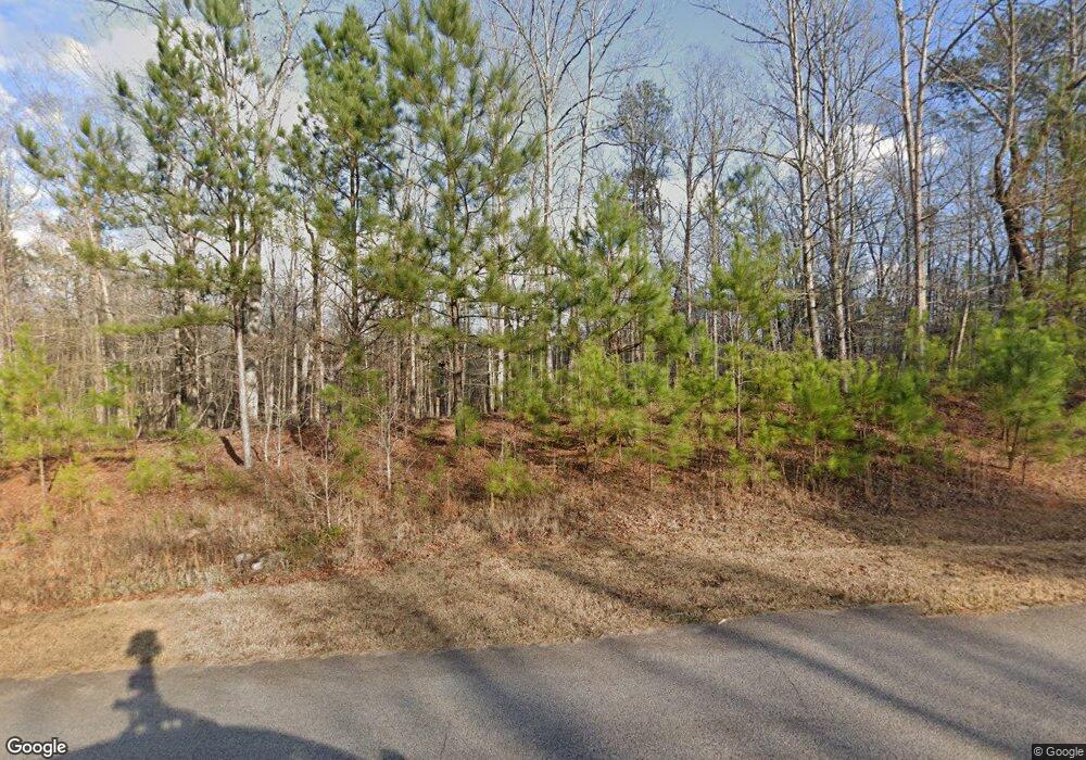
136 High Ridge Trail Jackson, GA 30233
Southwest Butts NeighborhoodEstimated Value: $417,000 - $454,000
4
Beds
4
Baths
2,377
Sq Ft
$183/Sq Ft
Est. Value
About This Home
This home is located at 136 High Ridge Trail, Jackson, GA 30233 and is currently estimated at $434,733, approximately $182 per square foot. 136 High Ridge Trail is a home located in Butts County with nearby schools including Jackson High School and Rock Springs Christian Academy.
Ownership History
Date
Name
Owned For
Owner Type
Purchase Details
Closed on
Oct 1, 2019
Sold by
Shaffner Joel A
Bought by
Suntrust Bank
Current Estimated Value
Purchase Details
Closed on
Aug 17, 2005
Sold by
Surburban Home Sales Inc
Bought by
Shaffner Joel
Home Financials for this Owner
Home Financials are based on the most recent Mortgage that was taken out on this home.
Original Mortgage
$53,333
Interest Rate
5.64%
Mortgage Type
New Conventional
Create a Home Valuation Report for This Property
The Home Valuation Report is an in-depth analysis detailing your home's value as well as a comparison with similar homes in the area
Home Values in the Area
Average Home Value in this Area
Purchase History
| Date | Buyer | Sale Price | Title Company |
|---|---|---|---|
| Suntrust Bank | $321,513 | -- | |
| Shaffner Joel | $56,945 | -- |
Source: Public Records
Mortgage History
| Date | Status | Borrower | Loan Amount |
|---|---|---|---|
| Previous Owner | Shaffner Joel | $53,333 |
Source: Public Records
Tax History Compared to Growth
Tax History
| Year | Tax Paid | Tax Assessment Tax Assessment Total Assessment is a certain percentage of the fair market value that is determined by local assessors to be the total taxable value of land and additions on the property. | Land | Improvement |
|---|---|---|---|---|
| 2024 | $3,960 | $170,245 | $17,239 | $153,006 |
| 2023 | $4,060 | $183,454 | $18,576 | $164,878 |
| 2022 | $4,265 | $159,197 | $18,576 | $140,621 |
| 2021 | $3,143 | $110,217 | $15,600 | $94,617 |
| 2020 | $3,345 | $110,873 | $16,200 | $94,673 |
| 2019 | $2,856 | $97,919 | $18,576 | $79,343 |
| 2018 | $2,822 | $92,728 | $18,576 | $74,152 |
| 2017 | $2,806 | $90,605 | $18,576 | $72,029 |
| 2016 | $2,879 | $90,605 | $18,576 | $72,029 |
| 2015 | $2,853 | $90,605 | $18,576 | $72,029 |
| 2014 | $2,866 | $85,860 | $18,576 | $67,284 |
Source: Public Records
Map
Nearby Homes
- 141 High Ridge Trail
- 106 Big Buck Ct
- 233 Fenner Rd
- 1261 Chappell Mill Rd
- 215 Panola Rd
- 4771 High Falls Rd
- 225 Panola Rd
- 317 High Falls Rd
- 240 Harkness Rd
- 4305 High Falls Rd
- 320 Buck Creek Rd
- 446 High Falls Rd
- 0 Chappell Mill Rd Unit (TRACT 1)
- 0 Chappell Mill Rd Unit (TRACT 2)
- 0 White Tail Hills Dr Unit 10537889
- 107 Sweet Bay Cir
- 142 Magnolia Trace
- 0 Harkness Rd Unit 10628667
- LOT 55 Magnolia Trace
- 69 Henley Rd
- 42 High Ridge Trail
- 40 High Ridge Trail
- 135 High Ridge Trail
- 156 High Ridge Trail
- 133 High Ridge Trail
- 0 Big Buck Ct Unit 7363684
- 0 Big Buck Ct
- 131 High Ridge Trail
- 137 High Ridge Trail
- 143 High Ridge Trail
- 103 Big Buck Ct
- 59 Creekview Ct
- 120 High Ridge Trail
- 108 Big Buck Ct
- 102 Creekview Ct
- 0 Creekview Ct Unit 8848378
- 0 Creekview Ct
- 76 High Ridge Trail
- 56 High Ridge Trail
- 55 High Ridge Trail
