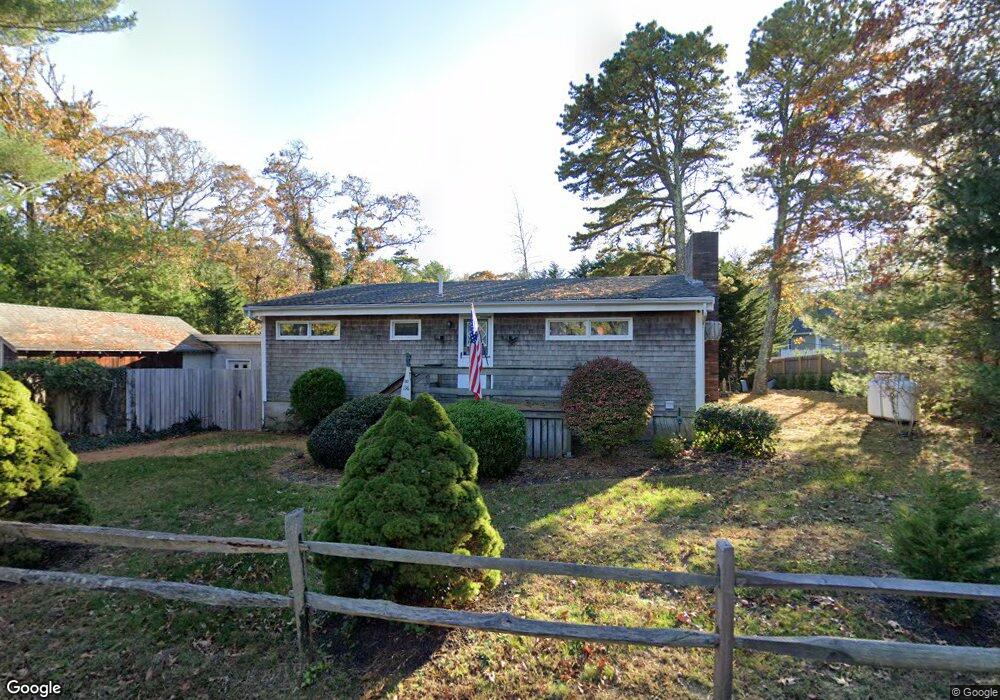
136 Hudson Ave Oak Bluffs, MA 02557
Oak Bluffs NeighborhoodEstimated Value: $826,552 - $950,000
1
Bed
1
Bath
640
Sq Ft
$1,382/Sq Ft
Est. Value
About This Home
This home is located at 136 Hudson Ave, Oak Bluffs, MA 02557 and is currently estimated at $884,388, approximately $1,381 per square foot. 136 Hudson Ave is a home with nearby schools including Oak Bluffs Elementary School and Martha's Vineyard Regional High School.
Ownership History
Date
Name
Owned For
Owner Type
Purchase Details
Closed on
Feb 20, 2004
Sold by
Hall Shirley M
Bought by
Hall Richard A
Current Estimated Value
Purchase Details
Closed on
Nov 5, 2003
Sold by
Hall Shirley M
Bought by
Hall Richard A
Purchase Details
Closed on
Oct 19, 1981
Bought by
Hall Richard A
Create a Home Valuation Report for This Property
The Home Valuation Report is an in-depth analysis detailing your home's value as well as a comparison with similar homes in the area
Home Values in the Area
Average Home Value in this Area
Purchase History
| Date | Buyer | Sale Price | Title Company |
|---|---|---|---|
| Hall Richard A | -- | -- | |
| Hall Richard A | -- | -- | |
| Hall Richard A | -- | -- |
Source: Public Records
Mortgage History
| Date | Status | Borrower | Loan Amount |
|---|---|---|---|
| Open | Hall Richard A | $213,750 |
Source: Public Records
Tax History Compared to Growth
Tax History
| Year | Tax Paid | Tax Assessment Tax Assessment Total Assessment is a certain percentage of the fair market value that is determined by local assessors to be the total taxable value of land and additions on the property. | Land | Improvement |
|---|---|---|---|---|
| 2025 | $3,549 | $702,700 | $483,600 | $219,100 |
| 2024 | $3,537 | $676,300 | $439,500 | $236,800 |
| 2023 | $3,438 | $651,100 | $427,000 | $224,100 |
| 2022 | $3,392 | $499,500 | $321,600 | $177,900 |
| 2021 | $3,190 | $432,800 | $276,700 | $156,100 |
| 2020 | $3,040 | $408,600 | $263,500 | $145,100 |
| 2019 | $2,862 | $372,200 | $229,800 | $142,400 |
| 2018 | $2,734 | $349,200 | $207,500 | $141,700 |
| 2017 | $2,611 | $320,400 | $196,700 | $123,700 |
| 2016 | $2,470 | $304,600 | $202,800 | $101,800 |
| 2015 | $2,359 | $296,400 | $202,800 | $93,600 |
| 2014 | $2,259 | $289,300 | $187,300 | $102,000 |
Source: Public Records
Map
Nearby Homes
- 170 Barnes Rd
- 1 Onondaga Ave
- 0-A California Ave Unit Part lot 79
- 0-B California Ave Unit Part lot 79
- 0 California Ave Unit 76 42933
- 72 Washington Ave
- 69 Summit Ave
- 96 Manchester Ave
- 28 Barling Ave
- 70 Carol Ln
- 60R Carol Ln
- 57 Hines Point Rd
- 60 -R Carol Ln
- 6 Sachem Way
- 35 Stevens Ave
- 267 Barnes Rd
- 9 Bayview Ave
- 1 Jessie Leigh Mitchell Way
- 25 Windy Hill Rd
- 96 Pondview Dr
- 114 Hudson Ave
- 128 Hudson Ave
- 113 California Ave
- 38 California Ave
- 34 California Ave
- 2 California Ave
- 130 Barnes Rd
- 134 Barnes Rd
- 117 Barnes Rd
- 116 California Ave
- 106 California Ave
- 100 California Ave
- 104 California Ave
- 112 Barnes Rd
- 86 California Ave
- 100 California Ave
- 122 Hudson Ave
- 101 California Ave
- 121 Washington Ave
- 119 Washington Ave