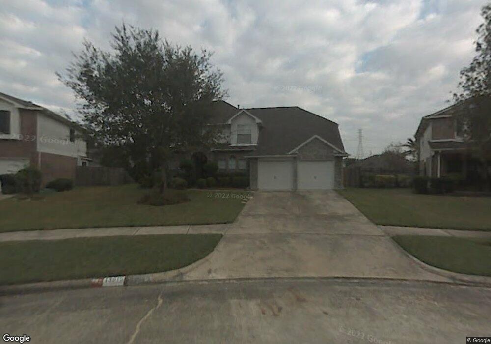
13615 Misty Bluff Dr Houston, TX 77085
Central Southwest NeighborhoodEstimated Value: $318,000 - $380,000
5
Beds
3
Baths
2,828
Sq Ft
$119/Sq Ft
Est. Value
About This Home
This home is located at 13615 Misty Bluff Dr, Houston, TX 77085 and is currently estimated at $335,537, approximately $118 per square foot. 13615 Misty Bluff Dr is a home located in Harris County with nearby schools including Fondren Elementary School, Dowling Middle School, and James Madison High School.
Ownership History
Date
Name
Owned For
Owner Type
Purchase Details
Closed on
May 27, 2015
Sold by
Kassaye Getachew and Bully Burkie M
Bought by
Yahya Alinasr
Current Estimated Value
Purchase Details
Closed on
Jul 22, 2004
Sold by
Moss Robert E and Moss Georgia C
Bought by
Kassaye Getachew
Home Financials for this Owner
Home Financials are based on the most recent Mortgage that was taken out on this home.
Original Mortgage
$136,852
Interest Rate
6.02%
Mortgage Type
FHA
Purchase Details
Closed on
Jan 28, 1994
Sold by
Royce Homes Inc
Bought by
Moss Robert E and Moss Georgia C
Home Financials for this Owner
Home Financials are based on the most recent Mortgage that was taken out on this home.
Original Mortgage
$99,910
Interest Rate
7.16%
Mortgage Type
FHA
Create a Home Valuation Report for This Property
The Home Valuation Report is an in-depth analysis detailing your home's value as well as a comparison with similar homes in the area
Home Values in the Area
Average Home Value in this Area
Purchase History
| Date | Buyer | Sale Price | Title Company |
|---|---|---|---|
| Yahya Alinasr | -- | None Available | |
| Kassaye Getachew | -- | First American Title | |
| Moss Robert E | -- | Stewart Title Houston Divisi |
Source: Public Records
Mortgage History
| Date | Status | Borrower | Loan Amount |
|---|---|---|---|
| Previous Owner | Kassaye Getachew | $136,852 | |
| Previous Owner | Moss Robert E | $99,910 |
Source: Public Records
Tax History Compared to Growth
Tax History
| Year | Tax Paid | Tax Assessment Tax Assessment Total Assessment is a certain percentage of the fair market value that is determined by local assessors to be the total taxable value of land and additions on the property. | Land | Improvement |
|---|---|---|---|---|
| 2025 | $4,350 | $326,978 | $85,142 | $241,836 |
| 2024 | $4,350 | $319,960 | $67,131 | $252,829 |
| 2023 | $4,350 | $356,895 | $52,395 | $304,500 |
| 2022 | $5,921 | $295,396 | $32,747 | $262,649 |
| 2021 | $5,450 | $245,280 | $32,747 | $212,533 |
| 2020 | $5,360 | $212,574 | $32,747 | $179,827 |
| 2019 | $5,592 | $212,574 | $32,747 | $179,827 |
| 2018 | $3,922 | $207,608 | $16,374 | $191,234 |
| 2017 | $5,457 | $207,608 | $16,374 | $191,234 |
| 2016 | $4,866 | $185,136 | $16,374 | $168,762 |
| 2015 | -- | $185,136 | $16,374 | $168,762 |
| 2014 | -- | $153,995 | $16,374 | $137,621 |
Source: Public Records
Map
Nearby Homes
- 6510 Summit Ridge Ct
- 13723 Rocky Bluff Dr
- 7019 River Bluff Dr
- 7006 River Bluff Dr
- 6414 Heatherbloom Dr
- 5811 Greencraig Dr
- 12830 E Greenwick Loop
- 5774 Greencraig Dr
- 6039 Lark Haven Ln
- 6014 Pinacle Point
- 12305 Carlsbad St
- 5914 Dream Ct
- 6406 Mckinstry Blvd
- 6034 Valley Cove Ln
- 0 S Main St Unit 39260394
- 5730 Alvarado Dr
- 6403 Tiffany Dr
- 5919 Heatherbrook Dr
- 12318 Renwick Dr
- 5703 Alvarado Dr
- 13611 Misty Bluff Dr
- 13619 Misty Bluff Dr
- 6607 River Bluff Dr
- 6611 River Bluff Dr
- 13606 Summit Ridge Dr
- 13607 Misty Bluff Dr
- 6603 River Bluff Dr
- 13623 Misty Bluff Dr
- 13610 Summit Ridge Dr
- 6615 River Bluff Dr
- 13626 Misty Bluff Dr
- 13603 Misty Bluff Dr
- 13614 Summit Ridge Dr
- 13627 Misty Bluff Dr
- 6619 River Bluff Dr
- 13630 Misty Bluff Dr
- 13619 Woodspire Dr
- 13702 Summit Ridge Dr
- 13631 Misty Bluff Dr
- 13623 Woodspire Dr