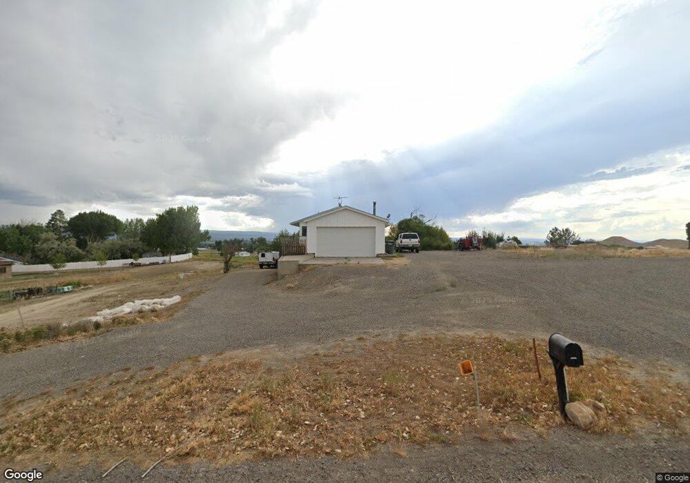
13631 6700 Rd Montrose, CO 81401
Estimated Value: $445,467 - $487,000
--
Bed
2
Baths
2,240
Sq Ft
$209/Sq Ft
Est. Value
About This Home
This home is located at 13631 6700 Rd, Montrose, CO 81401 and is currently estimated at $468,367, approximately $209 per square foot. 13631 6700 Rd is a home located in Montrose County with nearby schools including Johnson Elementary School, Centennial Middle School, and Montrose High School.
Ownership History
Date
Name
Owned For
Owner Type
Purchase Details
Closed on
Dec 3, 2013
Sold by
Walters Jared
Bought by
Mcmenamy Linda Roseann
Current Estimated Value
Purchase Details
Closed on
Oct 5, 2004
Sold by
Craig Family Irrevocable Trust
Bought by
Stonehocker John Dean and Mcmenamy Linda Roseann
Purchase Details
Closed on
Sep 19, 2001
Sold by
Craig Gwynne W
Bought by
Craig Family Irrevocable Trust
Purchase Details
Closed on
Aug 19, 1971
Sold by
Deltondo Joe and Deltondo Annie
Bought by
Craig Gwynne W and Craig Alice M
Create a Home Valuation Report for This Property
The Home Valuation Report is an in-depth analysis detailing your home's value as well as a comparison with similar homes in the area
Home Values in the Area
Average Home Value in this Area
Purchase History
| Date | Buyer | Sale Price | Title Company |
|---|---|---|---|
| Mcmenamy Linda Roseann | -- | None Available | |
| Mcmenamy Linda R | -- | None Available | |
| Stonehocker John Dean | $158,500 | -- | |
| Craig Family Irrevocable Trust | -- | -- | |
| Craig Gwynne W | -- | -- |
Source: Public Records
Tax History Compared to Growth
Tax History
| Year | Tax Paid | Tax Assessment Tax Assessment Total Assessment is a certain percentage of the fair market value that is determined by local assessors to be the total taxable value of land and additions on the property. | Land | Improvement |
|---|---|---|---|---|
| 2024 | $1,705 | $23,650 | $4,830 | $18,820 |
| 2023 | $1,705 | $28,370 | $5,800 | $22,570 |
| 2022 | $1,348 | $19,320 | $3,410 | $15,910 |
| 2021 | $1,389 | $19,880 | $3,510 | $16,370 |
| 2020 | $1,161 | $17,070 | $3,050 | $14,020 |
| 2019 | $1,168 | $17,070 | $3,050 | $14,020 |
| 2018 | $1,031 | $14,690 | $2,560 | $12,130 |
| 2017 | $1,023 | $14,690 | $2,560 | $12,130 |
| 2016 | $931 | $13,590 | $2,470 | $11,120 |
| 2015 | $915 | $13,590 | $2,470 | $11,120 |
| 2014 | $806 | $12,800 | $2,470 | $10,330 |
Source: Public Records
Map
Nearby Homes
- 13721 6700 Rd
- 2965 Locust Rd
- 13547 6700 Rd
- 67250 Locust Rd Unit 21
- TBD Highway 50 Iron Horse Dr
- 67133 Locust Rd
- 761 Silver Dr
- 13.33 Acres Highway 50
- 12858 6700 Rd
- 502 Holly Dr
- 2091 Locust Rd
- 381 6600 Rd
- 665 6600 Rd
- 133 Castle Ave
- Lot 3 6700 Rd
- Lot 7 6700 Rd
- Lot 2 6700 Rd
- Lot 8 6700 Rd
- Lot 5 6700 Rd
- Lot 4 6700 Rd
- 13640 6700 Rd
- 13587 6700 Rd
- 2935 Locust Rd
- 13579 6700 Rd
- 13601 6700 Rd
- Lot 2 Lynch Minor Rd
- Lot 1 Lynch Minor
- 67016 E Borough Dr
- 67038 E Borough Dr
- TBD 6650 Rd
- Lot 1 Locust Rd
- 2775 Locust Rd
- 67064 E Borough Dr
- 2797 Locust Rd
- E Borough Dr
- 2822 Locust Rd
- 2771 Locust Rd
- 67082 E Borough Dr
- 2759 Locust Rd
- 0 E Borough Dr