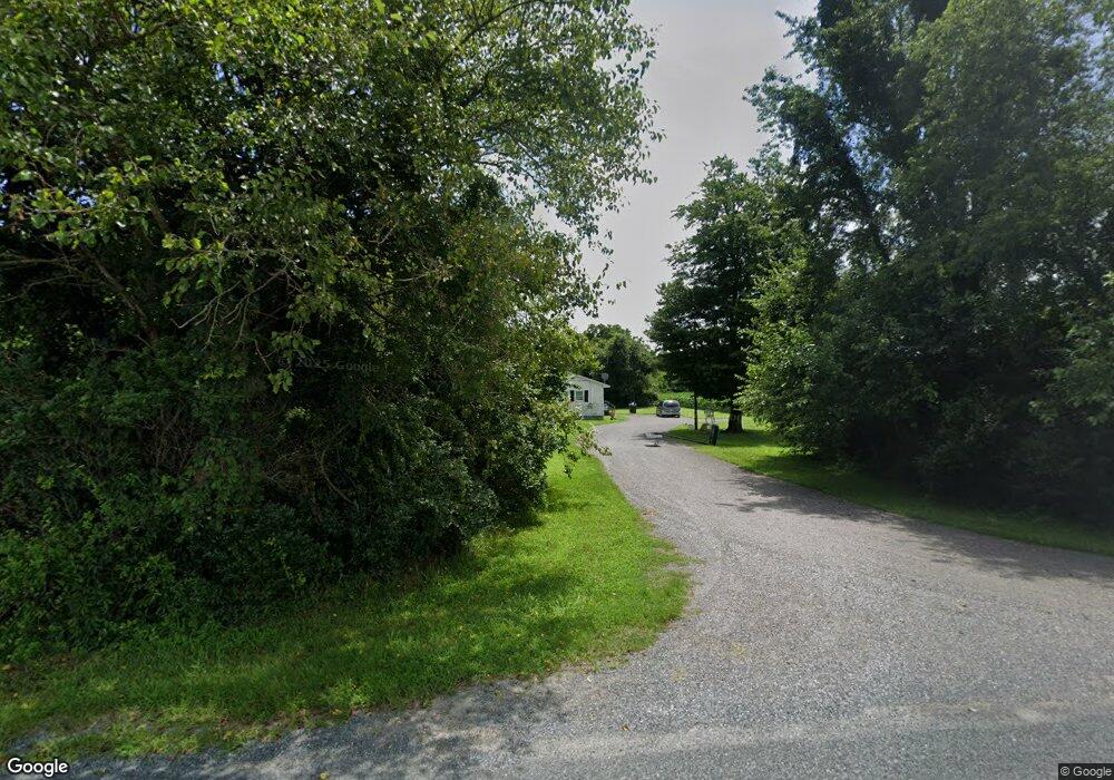
13657 Holly Rd Greensboro, MD 21639
Estimated Value: $188,571 - $220,000
--
Bed
1
Bath
960
Sq Ft
$210/Sq Ft
Est. Value
About This Home
This home is located at 13657 Holly Rd, Greensboro, MD 21639 and is currently estimated at $201,393, approximately $209 per square foot. 13657 Holly Rd is a home located in Caroline County with nearby schools including Greensboro Elementary School, Lockerman Middle School, and North Caroline High School.
Ownership History
Date
Name
Owned For
Owner Type
Purchase Details
Closed on
Mar 2, 2023
Sold by
Cronshaw Linda T
Bought by
Williams Deborah T and Williams Raymond J
Current Estimated Value
Purchase Details
Closed on
Aug 13, 2007
Sold by
Boyce Leroy Mary Hester
Bought by
Tribbett Alice and Williams Deborah
Purchase Details
Closed on
Jul 19, 2007
Sold by
Boyce Leroy Mary Hester
Bought by
Tribbett Alice and Williams Deborah
Purchase Details
Closed on
Jan 23, 1995
Sold by
Boyce Dora and Boyce Leroy
Bought by
Boyce Leroy Mary Hester
Create a Home Valuation Report for This Property
The Home Valuation Report is an in-depth analysis detailing your home's value as well as a comparison with similar homes in the area
Home Values in the Area
Average Home Value in this Area
Purchase History
| Date | Buyer | Sale Price | Title Company |
|---|---|---|---|
| Williams Deborah T | -- | -- | |
| Williams Deborah T | -- | None Listed On Document | |
| Tribbett Alice | $65,000 | -- | |
| Tribbett Alice | $65,000 | -- | |
| Boyce Leroy Mary Hester | -- | -- |
Source: Public Records
Tax History Compared to Growth
Tax History
| Year | Tax Paid | Tax Assessment Tax Assessment Total Assessment is a certain percentage of the fair market value that is determined by local assessors to be the total taxable value of land and additions on the property. | Land | Improvement |
|---|---|---|---|---|
| 2025 | $1,539 | $143,100 | $0 | $0 |
| 2024 | $1,539 | $135,400 | $35,000 | $100,400 |
| 2023 | $1,388 | $127,133 | $0 | $0 |
| 2022 | $1,358 | $118,867 | $0 | $0 |
| 2021 | $1,187 | $110,600 | $35,000 | $75,600 |
| 2020 | $1,187 | $103,200 | $0 | $0 |
| 2019 | $1,106 | $95,800 | $0 | $0 |
| 2018 | $1,025 | $88,400 | $35,000 | $53,400 |
| 2017 | $1,025 | $88,400 | $0 | $0 |
| 2016 | -- | $88,400 | $0 | $0 |
| 2015 | $1,249 | $105,900 | $0 | $0 |
| 2014 | $1,249 | $105,900 | $0 | $0 |
Source: Public Records
Map
Nearby Homes
- 707 W Sunset Ave
- 131 Hobbs St
- 605 W Sunset Ave
- 603 W Sunset Ave
- 511 Bernard Ave
- 121 Parkland Rd
- 125 Parkland Rd
- 517 W Sunset Ave
- 113 Parkland Rd
- 102 Roe St
- 120 Parkland Rd
- 124 Parkland Rd
- 119 Parkland Rd
- 123 Parkland Rd
- SULLIVAN Plan at Kinnamon Meadows
- PERRY Plan at Kinnamon Meadows
- CURTIS Plan at Kinnamon Meadows
- HELENA Plan at Kinnamon Meadows
- 402 LOT 2 W Sunset Ave
- 402 Lot 3 N S Sunset Ave
- 13662 Holly Rd
- 13695 Holly Rd
- 25419 Sunset Ave
- 13594 Holly Rd
- 13755 Holly Rd
- 717 W Sunset Ave
- 714 Harold St
- 712 Harold St
- 711 W Sunset Ave
- 708 Harold St
- 709 W Sunset Ave
- 704 Harold St
- 700 W Sunset Ave
- 702 Harold St
- 702 W Sunset Ave
- 705 W Sunset Ave
- 701 W Sunset Ave
- 610 W Sunset Ave
- 522 Bernard Ave
- 112 Hobbs St