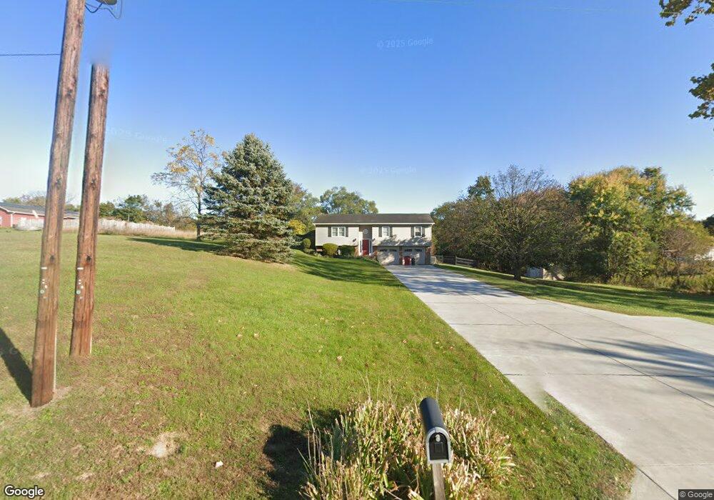
1366 Airport Rd Martinsburg, WV 25405
Estimated Value: $300,000 - $318,670
3
Beds
2
Baths
1,812
Sq Ft
$171/Sq Ft
Est. Value
About This Home
This home is located at 1366 Airport Rd, Martinsburg, WV 25405 and is currently estimated at $309,668, approximately $170 per square foot. 1366 Airport Rd is a home located in Berkeley County with nearby schools including Valley View Elementary School, Mountain Ridge Intermediate School, and Mountain Ridge Middle School.
Ownership History
Date
Name
Owned For
Owner Type
Purchase Details
Closed on
Jan 27, 2016
Sold by
Martz Shawn Allen and Martz Anne Mckee
Bought by
Martz Shawn Allen
Current Estimated Value
Home Financials for this Owner
Home Financials are based on the most recent Mortgage that was taken out on this home.
Original Mortgage
$150,000
Outstanding Balance
$92,868
Interest Rate
4.02%
Mortgage Type
New Conventional
Estimated Equity
$216,800
Create a Home Valuation Report for This Property
The Home Valuation Report is an in-depth analysis detailing your home's value as well as a comparison with similar homes in the area
Home Values in the Area
Average Home Value in this Area
Purchase History
| Date | Buyer | Sale Price | Title Company |
|---|---|---|---|
| Martz Shawn Allen | -- | None Available |
Source: Public Records
Mortgage History
| Date | Status | Borrower | Loan Amount |
|---|---|---|---|
| Open | Martz Shawn Allen | $150,000 |
Source: Public Records
Tax History Compared to Growth
Tax History
| Year | Tax Paid | Tax Assessment Tax Assessment Total Assessment is a certain percentage of the fair market value that is determined by local assessors to be the total taxable value of land and additions on the property. | Land | Improvement |
|---|---|---|---|---|
| 2024 | $1,507 | $122,760 | $41,040 | $81,720 |
| 2023 | $1,484 | $117,420 | $35,700 | $81,720 |
| 2022 | $1,288 | $110,700 | $35,700 | $75,000 |
| 2021 | $1,207 | $102,960 | $33,240 | $69,720 |
| 2020 | $1,165 | $99,240 | $33,240 | $66,000 |
| 2019 | $1,133 | $95,820 | $33,240 | $62,580 |
| 2018 | $1,204 | $101,700 | $32,040 | $69,660 |
| 2017 | $1,185 | $99,420 | $32,040 | $67,380 |
| 2016 | $1,178 | $97,920 | $32,040 | $65,880 |
| 2015 | $1,191 | $96,420 | $32,040 | $64,380 |
| 2014 | $1,027 | $82,980 | $32,040 | $50,940 |
Source: Public Records
Map
Nearby Homes
- 984 Airport Rd
- 20 Cook Ct
- 43 Tather Dr
- 76 Tather Dr
- 171 Teal Rd
- 251 Thayers Gull Dr
- 1805 Kelly Island Rd
- 103 Huttons Vireo Dr
- 32 Huttons Vireo Dr
- Lot G-1B Prayer Ln
- 318 Corvette Dr
- 58 Bird St N
- 11 Chillingham Ct
- 143 Kensington Terrace
- 33 Chillingham Ct
- Lot 1 Station Square
- 179 Lahaye Dr
- 37 Britania Ct
- 223 Stotelmyer Ln
- 90 Moses Dr
- 1316 Airport Rd
- 1436 Airport Rd
- 1284 Airport Rd
- 167 Mira Maple Dr
- 271 Mira Maple Dr
- 50 Mira Maple Dr
- 122 Mira Maple Dr
- 84 Mira Maple Dr
- 324 Mira Maple Dr
- 348 Mira Maple Dr
- 236 Mira Maple Dr
- 382 Mira Maple Dr
- 246 Mira Maple Dr
- 214 Mira Maple Dr
- 196 Mira Maple Dr
- 1574 Airport Rd
- 106 Snooks Ln
- 1622 Airport Rd
- 149 Snyders Ln
- 1124 Airport Rd