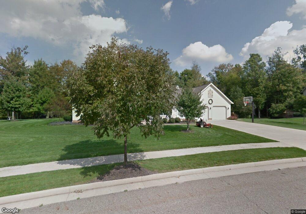
1368 Cheverton Ave Louisville, OH 44641
Estimated Value: $319,000 - $471,134
3
Beds
3
Baths
2,668
Sq Ft
$154/Sq Ft
Est. Value
About This Home
This home is located at 1368 Cheverton Ave, Louisville, OH 44641 and is currently estimated at $411,045, approximately $154 per square foot. 1368 Cheverton Ave is a home located in Stark County with nearby schools including Louisville High School and St. Thomas Aquinas High School & Middle School.
Ownership History
Date
Name
Owned For
Owner Type
Purchase Details
Closed on
Mar 4, 2005
Sold by
Mckinley Development Co
Bought by
Richards Allen C and Richards Michelle
Current Estimated Value
Home Financials for this Owner
Home Financials are based on the most recent Mortgage that was taken out on this home.
Original Mortgage
$274,675
Interest Rate
5.71%
Mortgage Type
Construction
Create a Home Valuation Report for This Property
The Home Valuation Report is an in-depth analysis detailing your home's value as well as a comparison with similar homes in the area
Home Values in the Area
Average Home Value in this Area
Purchase History
| Date | Buyer | Sale Price | Title Company |
|---|---|---|---|
| Richards Allen C | $95,000 | -- |
Source: Public Records
Mortgage History
| Date | Status | Borrower | Loan Amount |
|---|---|---|---|
| Closed | Richards Allen C | $274,675 |
Source: Public Records
Tax History Compared to Growth
Tax History
| Year | Tax Paid | Tax Assessment Tax Assessment Total Assessment is a certain percentage of the fair market value that is determined by local assessors to be the total taxable value of land and additions on the property. | Land | Improvement |
|---|---|---|---|---|
| 2025 | -- | $160,020 | $50,400 | $109,620 |
| 2024 | -- | $160,020 | $50,400 | $109,620 |
| 2023 | $4,493 | $104,580 | $29,820 | $74,760 |
| 2022 | $4,500 | $104,580 | $29,820 | $74,760 |
| 2021 | $4,512 | $104,580 | $29,820 | $74,760 |
| 2020 | $3,737 | $94,090 | $26,920 | $67,170 |
| 2019 | $3,753 | $101,580 | $22,060 | $79,520 |
| 2018 | $4,036 | $101,580 | $22,060 | $79,520 |
| 2017 | $3,592 | $87,230 | $17,300 | $69,930 |
| 2016 | $3,666 | $87,230 | $17,300 | $69,930 |
| 2015 | $3,676 | $87,230 | $17,300 | $69,930 |
| 2014 | $1,578 | $78,930 | $15,650 | $63,280 |
| 2013 | $1,793 | $78,930 | $15,650 | $63,280 |
Source: Public Records
Map
Nearby Homes
- 910 Crosswyck Cir
- 1170 Winding Ridge Ave
- 316 E Reno Dr
- 5474 Ravenna Ave
- 428 Honeycrisp Dr NE
- 3047 Mcintosh Dr NE
- 432 Honeycrisp Dr NE
- 2962 Mcintosh Dr NE
- 2963 Mcintosh Dr NE
- 430 Honeycrisp Dr NE
- 2957 Mcintosh Dr NE
- 0 Michigan Blvd
- 325 Lincoln Ave
- 524 Glenbar St
- 300 Kennedy St
- 614 Reno Dr
- 0 Glenbar St
- 2015 E Main St
- 308 Superior St
- 0 Brookridge Ave
- 0 Cheverton Unit 3293569
- 1371 Cheverton Ave
- 1379 Cheverton Ave
- 1348 Cheverton Ave
- 1390 Cheverton Ave
- 1353 Cheverton Ave
- 1387 Cheverton Ave
- 1334 Cheverton Ave
- 1103 Reno Dr
- 1103 E Reno Dr
- 1019 Reno Dr
- 1019 E Reno Dr
- 39 S/L Cheverton Ave
- 1009 E Reno Dr
- 1322 Cheverton Ave
- 923 E Reno Dr
- 911 E Reno Dr
- 1393 Cheverton Ave
- 903 Reno Dr
- 1295 Cheverton Ave