13684 Springfield Rd Tremont, IL 61568
Estimated Value: $294,000 - $408,315
3
Beds
2
Baths
2,900
Sq Ft
$123/Sq Ft
Est. Value
About This Home
This home is located at 13684 Springfield Rd, Tremont, IL 61568 and is currently estimated at $357,772, approximately $123 per square foot. 13684 Springfield Rd is a home located in Tazewell County with nearby schools including Tremont Elementary School, Tremont Middle School, and Tremont High School.
Ownership History
Date
Name
Owned For
Owner Type
Purchase Details
Closed on
Nov 9, 2012
Sold by
Behrends David L
Bought by
Behrends David L and Behrends Julie A
Current Estimated Value
Home Financials for this Owner
Home Financials are based on the most recent Mortgage that was taken out on this home.
Original Mortgage
$173,050
Interest Rate
2.68%
Mortgage Type
New Conventional
Create a Home Valuation Report for This Property
The Home Valuation Report is an in-depth analysis detailing your home's value as well as a comparison with similar homes in the area
Home Values in the Area
Average Home Value in this Area
Purchase History
| Date | Buyer | Sale Price | Title Company |
|---|---|---|---|
| Behrends David L | -- | First Community Title Svcs |
Source: Public Records
Mortgage History
| Date | Status | Borrower | Loan Amount |
|---|---|---|---|
| Closed | Behrends David L | $173,050 |
Source: Public Records
Tax History Compared to Growth
Tax History
| Year | Tax Paid | Tax Assessment Tax Assessment Total Assessment is a certain percentage of the fair market value that is determined by local assessors to be the total taxable value of land and additions on the property. | Land | Improvement |
|---|---|---|---|---|
| 2024 | $6,370 | $105,040 | $17,540 | $87,500 |
| 2023 | $6,370 | $96,430 | $16,100 | $80,330 |
| 2022 | $6,158 | $89,780 | $14,990 | $74,790 |
| 2021 | $5,972 | $86,320 | $14,410 | $71,910 |
| 2020 | $5,896 | $84,630 | $14,130 | $70,500 |
| 2019 | $5,900 | $84,630 | $14,130 | $70,500 |
| 2018 | $5,799 | $84,630 | $14,130 | $70,500 |
| 2017 | $5,701 | $82,960 | $13,850 | $69,110 |
| 2016 | $5,620 | $82,960 | $13,850 | $69,110 |
| 2015 | $5,473 | $0 | $0 | $0 |
| 2013 | $5,399 | $82,960 | $13,850 | $69,110 |
Source: Public Records
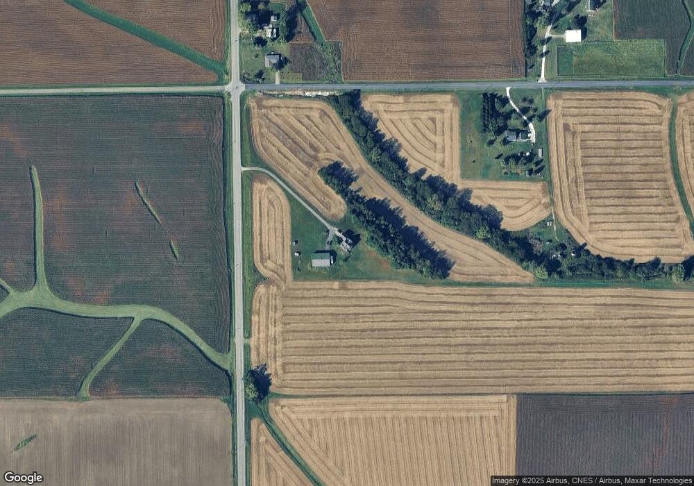
Map
Nearby Homes
- 1920-1922 Mayflower Dr
- 1960-1962 Mayflower Dr
- 105 Royal Point Ct
- 313 W South St
- 107 Lost Creek Ct
- 116 Lost Creek Ct
- 316 N Locust St
- 0 Illinois 9
- 3858 Sunset Dr
- 17902 Red Shale Hill Rd
- 16810 Springfield Rd
- 13694 Egg Ranch Rd
- 5859 Broadway Rd
- 5559 Broadway Rd
- 1922 Highwood Ave
- 227 Indian Creek Dr
- 305 Conaghan Dr
- 10109 Arrow Rd
- 1824 Valencia Place
- 1900 Saint Clair Dr
- 21074 Franklin St
- 21301 Franklin St
- 13916 Springfield Rd
- 21308 Franklin St
- 13250 Springfield Rd
- 21502 Franklin St
- 14240 Springfield Rd
- 21813 Franklin St
- 21815 Franklin St
- 21815 Franklin St
- 21815 Franklin St
- 21821 Franklin St
- 21834 Franklin St
- 21834 Franklin St
- 12916 Springfield Rd
- 13325 Watson Rd
- 22870 Scotts Ln
- 12875 Springfield Rd
- 12875 Springfield Rd
- 13989 Watson Rd