137 Babb Rd Elizabethton, TN 37643
Estimated Value: $149,000 - $321,000
--
Bed
--
Bath
1,200
Sq Ft
$184/Sq Ft
Est. Value
About This Home
This home is located at 137 Babb Rd, Elizabethton, TN 37643 and is currently estimated at $220,648, approximately $183 per square foot. 137 Babb Rd is a home.
Ownership History
Date
Name
Owned For
Owner Type
Purchase Details
Closed on
Oct 30, 2002
Sold by
Snodgrass Jeffrey A
Bought by
Willis Randall A
Current Estimated Value
Home Financials for this Owner
Home Financials are based on the most recent Mortgage that was taken out on this home.
Original Mortgage
$66,600
Interest Rate
5.93%
Purchase Details
Closed on
Oct 21, 1991
Bought by
Mid State Trust Ii
Purchase Details
Closed on
Oct 9, 1991
Bought by
Beam Lonnie F and Kathy Beam
Purchase Details
Closed on
Sep 21, 1990
Bought by
Mid State Trust Ii
Purchase Details
Closed on
Sep 5, 1984
Purchase Details
Closed on
Feb 2, 1981
Create a Home Valuation Report for This Property
The Home Valuation Report is an in-depth analysis detailing your home's value as well as a comparison with similar homes in the area
Home Values in the Area
Average Home Value in this Area
Purchase History
| Date | Buyer | Sale Price | Title Company |
|---|---|---|---|
| Willis Randall A | $74,000 | -- | |
| Mid State Trust Ii | $500 | -- | |
| Beam Lonnie F | $35,000 | -- | |
| Mid State Trust Ii | -- | -- | |
| -- | -- | -- | |
| -- | -- | -- |
Source: Public Records
Mortgage History
| Date | Status | Borrower | Loan Amount |
|---|---|---|---|
| Closed | Not Available | $66,600 |
Source: Public Records
Tax History Compared to Growth
Tax History
| Year | Tax Paid | Tax Assessment Tax Assessment Total Assessment is a certain percentage of the fair market value that is determined by local assessors to be the total taxable value of land and additions on the property. | Land | Improvement |
|---|---|---|---|---|
| 2024 | $681 | $31,250 | $3,350 | $27,900 |
| 2023 | $681 | $31,250 | $0 | $0 |
| 2022 | $634 | $31,250 | $3,350 | $27,900 |
| 2021 | $634 | $31,250 | $3,350 | $27,900 |
| 2020 | $626 | $31,250 | $3,350 | $27,900 |
| 2019 | $626 | $25,325 | $2,475 | $22,850 |
| 2018 | $626 | $25,325 | $2,475 | $22,850 |
| 2017 | $629 | $25,475 | $2,475 | $23,000 |
| 2016 | $624 | $25,475 | $2,475 | $23,000 |
| 2015 | $624 | $25,475 | $2,475 | $23,000 |
| 2014 | $655 | $26,725 | $2,475 | $24,250 |
Source: Public Records
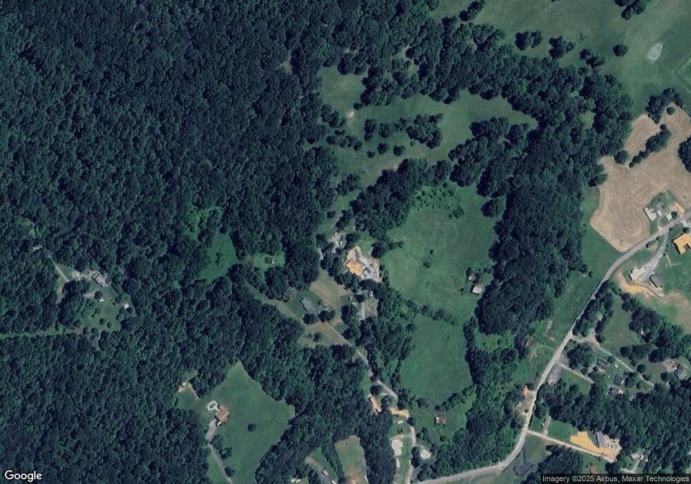
Map
Nearby Homes
- Tbd Cannon Hill Dr
- 133 Hickory Hollow Rd
- 113 Constitution Ave
- 138 Lexington Ave
- 142 Earl Ave
- 136 Ruby Ave
- 278 Long Hollow Rd
- 637 Long Hollow Rd
- 2600 State Line Rd
- 2108 State Line Rd
- Lot 8 Emerald Hills Dr
- Lots 5&6 Emerald Hills Dr
- Lot 1 Emerald Hills Dr
- Lots 4567 Emerald Hills Dr
- 2100 State Line Rd
- 118 Mountain View Cir
- TBD River Rd
- 129 Jim Elliott Rd
- 105 Meredith Dr
- 1439 Riverview Dr
- 139 Babb Rd
- 392 Coal Chute Rd
- 360 Coal Chute Rd
- 340 Coal Chute Rd
- 344 Coal Chute Rd
- 225 Short Coal Chute Rd
- Lot 2 Coal Chute Rd
- 4 Coal Chute Rd
- 5 Coal Chute Rd
- 0 Coal Chute Rd
- Tract 1 Coal Chute Rd
- Tract 2 Coal Chute Rd
- 000 Coal Chute Rd
- 00 Coal Chute Rd
- 339 Coal Chute Rd
- 382 Coal Chute Rd
- 327 Coal Chute Rd
- 386 Coal Chute Rd
- 349 Coal Chute Rd
- 329 Coal Chute Rd