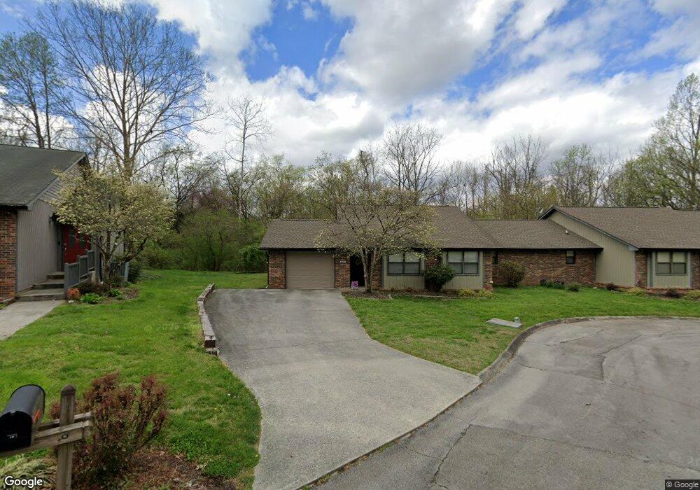
137 Brandeis Ln Oak Ridge, TN 37830
Estimated Value: $257,000 - $320,000
--
Bed
2
Baths
1,632
Sq Ft
$181/Sq Ft
Est. Value
About This Home
This home is located at 137 Brandeis Ln, Oak Ridge, TN 37830 and is currently estimated at $295,338, approximately $180 per square foot. 137 Brandeis Ln is a home located in Anderson County with nearby schools including Woodland Elementary School, Jefferson Middle School, and Oak Ridge High School.
Ownership History
Date
Name
Owned For
Owner Type
Purchase Details
Closed on
Feb 11, 2011
Sold by
Adams Dickerson
Bought by
Adams Crady
Current Estimated Value
Purchase Details
Closed on
Jan 11, 2011
Bought by
Adams Living Trust Uta
Purchase Details
Closed on
May 9, 1990
Bought by
Dickerson Laird F and Dickerson Wife Dorothy M
Purchase Details
Closed on
Dec 13, 1988
Bought by
Hunt David W and Hunt Wife Elizabeth W
Create a Home Valuation Report for This Property
The Home Valuation Report is an in-depth analysis detailing your home's value as well as a comparison with similar homes in the area
Home Values in the Area
Average Home Value in this Area
Purchase History
| Date | Buyer | Sale Price | Title Company |
|---|---|---|---|
| Adams Crady | -- | -- | |
| Adams Living Trust Uta | -- | -- | |
| Dickerson Laird F | $120,000 | -- | |
| Hunt David W | $100,000 | -- |
Source: Public Records
Tax History Compared to Growth
Tax History
| Year | Tax Paid | Tax Assessment Tax Assessment Total Assessment is a certain percentage of the fair market value that is determined by local assessors to be the total taxable value of land and additions on the property. | Land | Improvement |
|---|---|---|---|---|
| 2024 | $1,106 | $45,025 | $8,800 | $36,225 |
| 2023 | $1,106 | $45,025 | $0 | $0 |
| 2022 | $2,148 | $45,025 | $8,800 | $36,225 |
| 2021 | $2,148 | $45,025 | $8,800 | $36,225 |
| 2020 | $1,106 | $45,025 | $8,800 | $36,225 |
| 2019 | $1,977 | $37,625 | $7,150 | $30,475 |
| 2018 | $1,932 | $37,625 | $7,150 | $30,475 |
| 2017 | $1,924 | $37,625 | $7,150 | $30,475 |
| 2016 | $1,924 | $37,625 | $7,150 | $30,475 |
| 2015 | -- | $37,625 | $7,150 | $30,475 |
| 2014 | -- | $37,625 | $7,150 | $30,475 |
| 2013 | -- | $40,600 | $0 | $0 |
Source: Public Records
Map
Nearby Homes
- 140 Brandeis Ln
- 16 Belmont Ct
- 103 Baltimore Dr
- 111 Baypath Dr
- 105 Deerfield Ln
- 116 Baltimore Dr
- 101 Concord Rd
- 112 Chestnut Hill Rd
- 172 Crossroads Blvd
- 126 Clifton Cir
- 110 Balsam Rd
- 131 Clifton Cir
- 45 Palisades Pkwy
- 42 Palisades Pkwy
- 162 High Point Ln
- 160 High Point Ln
- 98 Hampshire Cir
- 105 Hampshire Cir
- 187 Tacoma Rd
- 119 Hanover Place
- 135 Brandeis Ln
- 139 Brandeis Ln
- 133 Brandeis Ln
- 131 Brandeis Ln
- 131 Brandeis Ln Unit 4
- 50 Brookside Dr
- 142 Brandeis Ln
- 114 Capital Cir
- 48 Brookside Dr
- 129 Brandeis Ln
- 138 Brandeis Ln
- 112 Capital Cir
- 46 Brookside Dr
- 136 Brandeis Ln
- 127 Brandeis Ln
- 44 Brookside Dr
- 116 Capital Cir
- 125 Brandeis Ln
- 42 Brookside Dr
- 134 Brandeis Ln