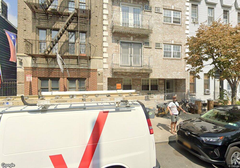
137 Dupont St Unit 6 Brooklyn, NY 11222
Greenpoint NeighborhoodEstimated Value: $753,384 - $1,085,000
--
Bed
--
Bath
530
Sq Ft
$1,828/Sq Ft
Est. Value
About This Home
This home is located at 137 Dupont St Unit 6, Brooklyn, NY 11222 and is currently estimated at $968,846, approximately $1,828 per square foot. 137 Dupont St Unit 6 is a home located in Kings County with nearby schools including PS 31 Samuel F Dupont, Yeshiva Bnos Ahavas Israel, and St. Stanislaus Kostka Catholic Academy.
Ownership History
Date
Name
Owned For
Owner Type
Purchase Details
Closed on
Mar 1, 2024
Sold by
Labarbiera Matthew A and Labarbiera Christopher A
Bought by
Christopher A La Barbiera Revocable Tru and La Barbiera
Current Estimated Value
Purchase Details
Closed on
Sep 12, 2006
Sold by
137 Dupont Llc
Bought by
Labarbiera Christopher A and Labarbiera Matthew A
Create a Home Valuation Report for This Property
The Home Valuation Report is an in-depth analysis detailing your home's value as well as a comparison with similar homes in the area
Home Values in the Area
Average Home Value in this Area
Purchase History
| Date | Buyer | Sale Price | Title Company |
|---|---|---|---|
| Christopher A La Barbiera Revocable Tru | -- | -- | |
| Christopher A La Barbiera Revocable Tru | -- | -- | |
| Labarbiera Christopher A | $370,110 | -- | |
| Labarbiera Christopher A | $370,110 | -- |
Source: Public Records
Tax History Compared to Growth
Tax History
| Year | Tax Paid | Tax Assessment Tax Assessment Total Assessment is a certain percentage of the fair market value that is determined by local assessors to be the total taxable value of land and additions on the property. | Land | Improvement |
|---|---|---|---|---|
| 2025 | $10,633 | $137,476 | $3,938 | $133,538 |
| 2024 | $10,633 | $114,548 | $3,938 | $110,610 |
| 2023 | $8,484 | $95,457 | $3,938 | $91,519 |
| 2022 | $9,497 | $93,826 | $3,938 | $89,888 |
| 2021 | $9,522 | $109,126 | $3,938 | $105,188 |
| 2020 | $3,471 | $136,407 | $3,938 | $132,469 |
| 2019 | $5,989 | $127,103 | $3,938 | $123,165 |
| 2018 | $3,913 | $76,526 | $2,845 | $73,681 |
| 2017 | $1,829 | $70,858 | $3,062 | $67,796 |
| 2016 | $34 | $65,610 | $3,544 | $62,066 |
| 2015 | $26 | $60,750 | $3,937 | $56,813 |
| 2014 | $26 | $62,719 | $3,938 | $58,781 |
Source: Public Records
Map
Nearby Homes
- 79 Clay St Unit 1-A
- 1110 Manhattan Ave Unit 1
- 1110 Manhattan Ave Unit 3
- 44 Box St Unit 2C
- 205 Freeman St Unit 2
- 132 Eagle St
- 340 McGuinness Blvd
- 190 Green St Unit 401
- 68 Commercial St Unit PH
- 153 Green St Unit 1-B
- 175 Huron St Unit 1
- 175 Huron St Unit 3A
- 175 Huron St Unit 2
- 169 Huron St
- 184 Huron St Unit 2B
- 54 Dupont St Unit TH
- 54 Dupont St Unit 4-A
- 54 Dupont St Unit 3-B
- 54 Dupont St Unit 1-A
- 54 Dupont St Unit 2-F
- 137 Dupont St
- 137 Dupont St Unit 8
- 137 Dupont St Unit 7
- 137 Dupont St Unit 5
- 137 Dupont St Unit 4
- 137 Dupont St Unit 3
- 137 Dupont St Unit 2
- 137 Dupont St Unit 1
- 139 Dupont St
- 139 Dupont St Unit 2-L
- 135 Dupont St
- 135 Dupont St Unit 10
- 135 Dupont St Unit 3
- 135 Dupont St Unit 99
- 135 Dupont St Unit 9
- 135 Dupont St Unit 4
- 141 Dupont St
- 141 Dupont St Unit PH1
- 141 Dupont St Unit PHB
- 141 Dupont St Unit 2A