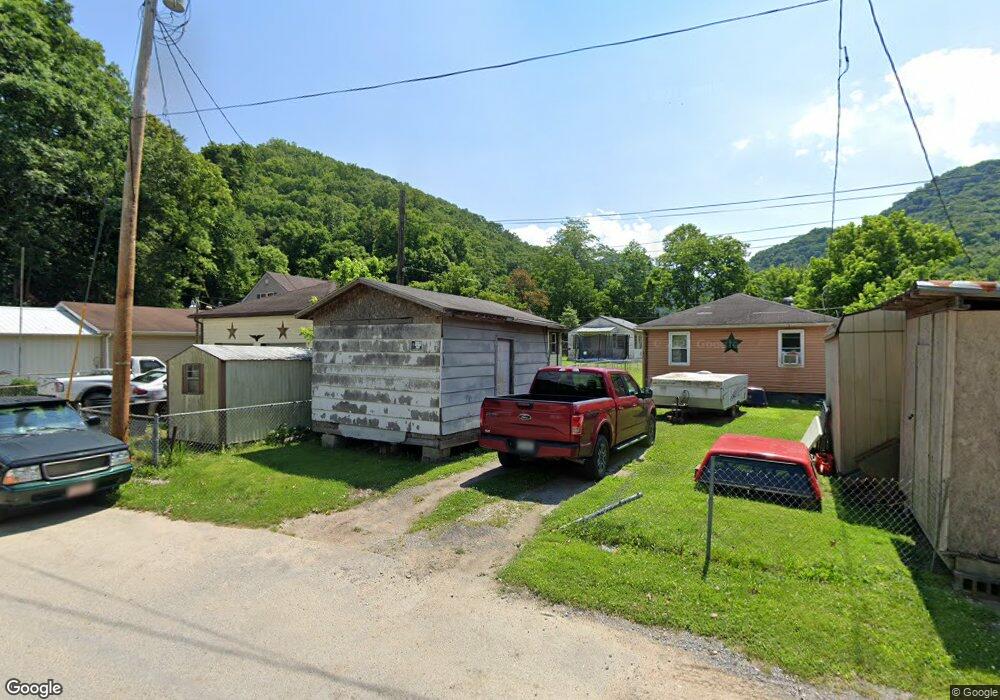
137 Lauren Cir Wharton, WV 25208
Estimated Value: $56,000 - $74,000
3
Beds
2
Baths
1,308
Sq Ft
$48/Sq Ft
Est. Value
About This Home
This home is located at 137 Lauren Cir, Wharton, WV 25208 and is currently estimated at $62,547, approximately $47 per square foot. 137 Lauren Cir is a home.
Ownership History
Date
Name
Owned For
Owner Type
Purchase Details
Closed on
Nov 26, 2014
Sold by
Malcolm David Malcolm David and Setser Larry R
Bought by
Setser Gary L and Setser Peggy Jean
Current Estimated Value
Home Financials for this Owner
Home Financials are based on the most recent Mortgage that was taken out on this home.
Original Mortgage
$41,500
Outstanding Balance
$14,362
Interest Rate
3.98%
Mortgage Type
Stand Alone First
Estimated Equity
$48,185
Purchase Details
Closed on
Aug 10, 2011
Sold by
Setser Jonathan Mark
Bought by
Setser Malcomb David and Setser Larry R
Purchase Details
Closed on
Aug 1, 2011
Sold by
Setser Opal Gaye and Setser Malcom David
Bought by
Setser Jonathan Mark
Create a Home Valuation Report for This Property
The Home Valuation Report is an in-depth analysis detailing your home's value as well as a comparison with similar homes in the area
Home Values in the Area
Average Home Value in this Area
Purchase History
| Date | Buyer | Sale Price | Title Company |
|---|---|---|---|
| Setser Gary L | $53,000 | -- | |
| Setser Malcomb David | -- | -- | |
| Setser Jonathan Mark | -- | -- |
Source: Public Records
Mortgage History
| Date | Status | Borrower | Loan Amount |
|---|---|---|---|
| Open | Setser Gary L | $41,500 |
Source: Public Records
Tax History Compared to Growth
Tax History
| Year | Tax Paid | Tax Assessment Tax Assessment Total Assessment is a certain percentage of the fair market value that is determined by local assessors to be the total taxable value of land and additions on the property. | Land | Improvement |
|---|---|---|---|---|
| 2024 | $38 | $23,160 | $2,640 | $20,520 |
| 2023 | $19 | $21,540 | $2,640 | $18,900 |
| 2022 | $0 | $19,980 | $2,640 | $17,340 |
| 2021 | $0 | $19,140 | $2,640 | $16,500 |
| 2020 | $0 | $19,140 | $2,640 | $16,500 |
| 2019 | $240 | $18,960 | $2,640 | $16,320 |
| 2018 | $263 | $20,760 | $2,640 | $18,120 |
| 2017 | $245 | $19,320 | $2,640 | $16,680 |
| 2016 | $284 | $22,380 | $2,640 | $19,740 |
| 2015 | $262 | $20,700 | $2,640 | $18,060 |
| 2014 | $490 | $19,320 | $2,640 | $16,680 |
Source: Public Records
Map
Nearby Homes
- 41 Flat Top Camp Rd
- 23836 Pond Fork Rd
- 20265 Pond Fork Rd
- 0 Pond Fork Rd
- 112 Tranquil Ct
- 120 Tranquil Ct
- 23601 Spruce River Rd
- 240 Dingess Fork
- 345 Stollings St
- 1315 Drew Creek
- 22143 Spruce River Rd
- 7518 Coal River Rd
- 20276 Spruce River Rd
- 3822 Seng Creek Rd
- 64 Greenleaf Ln
- 120 Rainbow Cir
- 21075 Spruce River Rd
- 0 Spruce Fork Unit 11581337
- 686 Branham Heights Rd
- 0 Cyclone Unit 93028
- 71 Lauren Cir
- 221 Lauren Cir
- 259 Lauren Cir
- 73 Lauren Cir
- 279 Lauren Cir
- 47 Lauren Cir
- 299 Lauren Cir
- 315 Lauren Cir
- 80 Garwood Ln
- 36 Garwood Ln
- 335 Lauren Cir
- 58 Barrett Cir
- 610 Barrett Cir
- 624 Barrett Cir
- 95 Barrett Cir
- 90 Barrett Cir
- 542 Barrett Cir
- 583 Barrett Cir
- 531 Barrett Cir
- 609 Barrett Cir