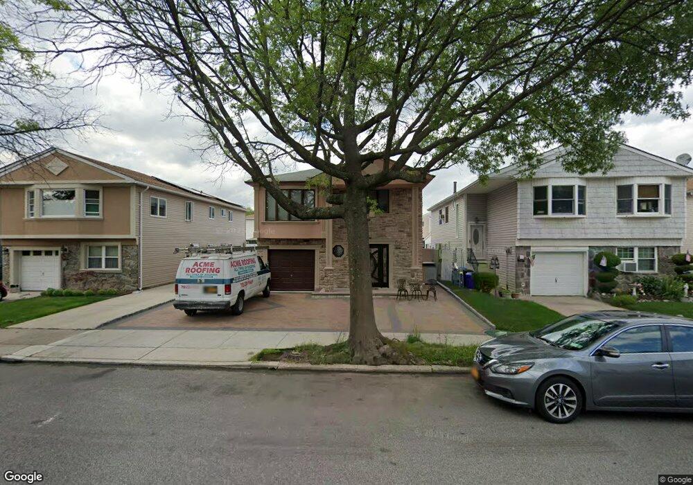
137 Paulding Ave Staten Island, NY 10314
Bulls Head NeighborhoodEstimated Value: $961,000 - $1,188,000
4
Beds
4
Baths
2,712
Sq Ft
$390/Sq Ft
Est. Value
About This Home
This home is located at 137 Paulding Ave, Staten Island, NY 10314 and is currently estimated at $1,056,329, approximately $389 per square foot. 137 Paulding Ave is a home located in Richmond County with nearby schools including P.S. 060 Alice Austen School, Is 72 Rocco Laurie, and Port Richmond High School.
Ownership History
Date
Name
Owned For
Owner Type
Purchase Details
Closed on
Feb 1, 2005
Sold by
Nicchio Maria and Alba Maria
Bought by
Qoku Bedri and Qoku Largime
Current Estimated Value
Home Financials for this Owner
Home Financials are based on the most recent Mortgage that was taken out on this home.
Original Mortgage
$444,000
Interest Rate
6.5%
Mortgage Type
Purchase Money Mortgage
Create a Home Valuation Report for This Property
The Home Valuation Report is an in-depth analysis detailing your home's value as well as a comparison with similar homes in the area
Home Values in the Area
Average Home Value in this Area
Purchase History
| Date | Buyer | Sale Price | Title Company |
|---|---|---|---|
| Qoku Bedri | $555,000 | The Judicial Title Ins Agenc |
Source: Public Records
Mortgage History
| Date | Status | Borrower | Loan Amount |
|---|---|---|---|
| Previous Owner | Qoku Bedri | $444,000 |
Source: Public Records
Tax History Compared to Growth
Tax History
| Year | Tax Paid | Tax Assessment Tax Assessment Total Assessment is a certain percentage of the fair market value that is determined by local assessors to be the total taxable value of land and additions on the property. | Land | Improvement |
|---|---|---|---|---|
| 2025 | $9,105 | $63,420 | $8,365 | $55,055 |
| 2024 | $6,740 | $63,120 | $7,929 | $55,191 |
| 2023 | $8,686 | $42,768 | $7,438 | $35,330 |
| 2022 | $8,538 | $53,760 | $11,040 | $42,720 |
| 2021 | $8,879 | $44,880 | $11,040 | $33,840 |
| 2020 | $8,476 | $49,620 | $11,040 | $38,580 |
| 2019 | $7,903 | $50,760 | $11,040 | $39,720 |
| 2018 | $7,265 | $35,640 | $10,343 | $25,297 |
| 2017 | $7,265 | $35,640 | $10,893 | $24,747 |
| 2016 | $7,029 | $35,160 | $11,040 | $24,120 |
| 2015 | $6,042 | $33,370 | $8,397 | $24,973 |
| 2014 | $6,042 | $31,482 | $8,495 | $22,987 |
Source: Public Records
Map
Nearby Homes
- 96 Paulding Ave
- 31 Plank Rd
- 55 Sideview Ave
- 15 Berglund Ave
- 35 Sideview Ave
- 57 Speedwell Ave
- 154 Merrill Ave
- 3 Nostrand Ave
- 171 Merrill Ave
- 45 Sommer Ave
- 108 Forest St
- 15 Oliver Place
- 24 Nadal Place
- 31 Fieldstone Rd
- 1775 Richmond Ave
- 333 Hillman Ave
- 140 Lander Ave
- 94 Saybrook St
- 157 Lander Ave
- 14 Goller Place
- 141 Paulding Ave
- 133 Paulding Ave
- 145 Paulding Ave
- 129 Paulding Ave
- 18 Plank Rd
- 14 Plank Rd
- 22 Plank Rd
- 149 Paulding Ave
- 125 Paulding Ave
- 10 Plank Rd
- 26 Plank Rd
- 138 Paulding Ave
- 132 Paulding Ave
- 6 Plank Rd
- 121 Paulding Ave Unit 1
- 121 Paulding Ave Unit 2
- 30 Plank Rd
- 144 Paulding Ave
- 153 Paulding Ave
- 126 Paulding Ave