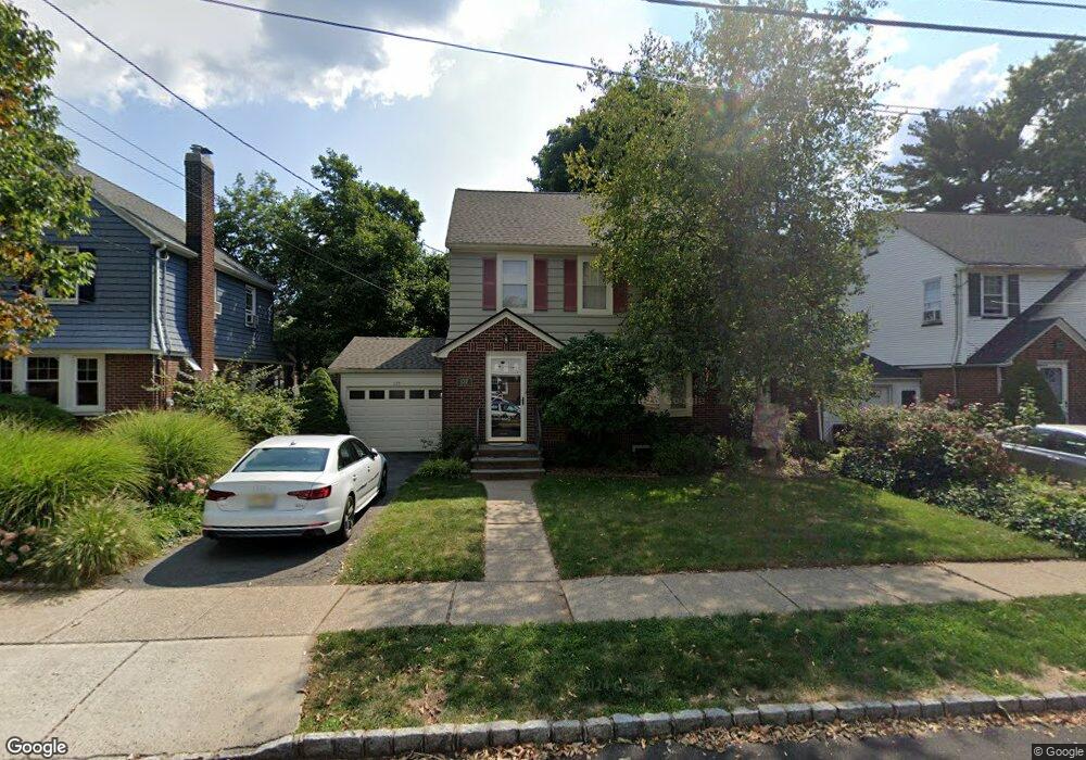
137 Raab Ave Bloomfield, NJ 07003
Estimated Value: $626,000 - $672,000
--
Bed
--
Bath
1,375
Sq Ft
$470/Sq Ft
Est. Value
About This Home
This home is located at 137 Raab Ave, Bloomfield, NJ 07003 and is currently estimated at $646,006, approximately $469 per square foot. 137 Raab Ave is a home located in Essex County with nearby schools including Oak View School, Bloomfield Middle School, and Bloomfield High School.
Ownership History
Date
Name
Owned For
Owner Type
Purchase Details
Closed on
Aug 13, 1997
Sold by
Kaplan Rebecca
Bought by
Herzberg Victoria
Current Estimated Value
Home Financials for this Owner
Home Financials are based on the most recent Mortgage that was taken out on this home.
Original Mortgage
$180,000
Outstanding Balance
$27,027
Interest Rate
7.56%
Estimated Equity
$618,979
Purchase Details
Closed on
Oct 11, 1995
Sold by
Field David
Bought by
Kaplan Rebecca and Kaplan Lee
Home Financials for this Owner
Home Financials are based on the most recent Mortgage that was taken out on this home.
Original Mortgage
$167,000
Interest Rate
7.58%
Create a Home Valuation Report for This Property
The Home Valuation Report is an in-depth analysis detailing your home's value as well as a comparison with similar homes in the area
Home Values in the Area
Average Home Value in this Area
Purchase History
| Date | Buyer | Sale Price | Title Company |
|---|---|---|---|
| Herzberg Victoria | $190,000 | -- | |
| Kaplan Rebecca | $185,000 | -- |
Source: Public Records
Mortgage History
| Date | Status | Borrower | Loan Amount |
|---|---|---|---|
| Open | Herzberg Victoria | $180,000 | |
| Previous Owner | Kaplan Rebecca | $167,000 |
Source: Public Records
Tax History Compared to Growth
Tax History
| Year | Tax Paid | Tax Assessment Tax Assessment Total Assessment is a certain percentage of the fair market value that is determined by local assessors to be the total taxable value of land and additions on the property. | Land | Improvement |
|---|---|---|---|---|
| 2025 | $13,036 | $398,900 | $197,700 | $201,200 |
| 2024 | $13,036 | $398,900 | $197,700 | $201,200 |
| 2022 | $12,773 | $398,900 | $197,700 | $201,200 |
| 2021 | $12,537 | $398,900 | $197,700 | $201,200 |
| 2020 | $12,346 | $398,900 | $197,700 | $201,200 |
| 2019 | $13,368 | $335,800 | $181,000 | $154,800 |
| 2018 | $13,311 | $335,800 | $181,000 | $154,800 |
| 2017 | $13,110 | $335,800 | $181,000 | $154,800 |
| 2016 | $12,962 | $335,800 | $181,000 | $154,800 |
| 2015 | $12,844 | $335,800 | $181,000 | $154,800 |
| 2014 | $12,609 | $335,800 | $181,000 | $154,800 |
Source: Public Records
Map
Nearby Homes
- 119 Garner Ave
- 45 Collins Ave
- 65 Ernst Ave
- 198 W Passaic Ave
- 96 W Passaic Ave
- 36 Alyson Place
- 57 Yale St
- 14 Chestnut Terrace
- 86 Linwood Terrace
- 101 Bryant Ave
- 49 Knollwood Terrace
- 355 W Passaic Ave
- 1552 Broad St Rear
- 15 Twain St
- 371 W Passaic Ave
- 33 Irwin Place
- 80 Burlington Rd
- 15 Carol Place
- 12 Renner Ave