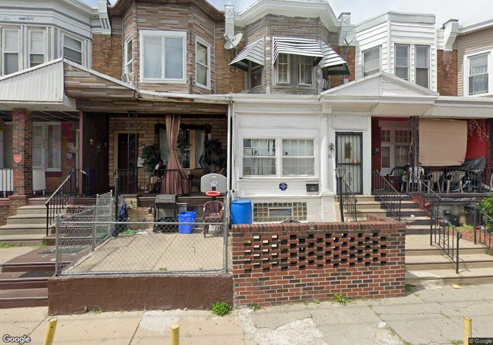
137 W Albanus St Philadelphia, PA 19120
Olney NeighborhoodEstimated Value: $147,860 - $176,000
3
Beds
1
Bath
1,200
Sq Ft
$133/Sq Ft
Est. Value
About This Home
This home is located at 137 W Albanus St, Philadelphia, PA 19120 and is currently estimated at $159,215, approximately $132 per square foot. 137 W Albanus St is a home located in Philadelphia County with nearby schools including Olney Elementary School, Olney Charter High School, and Olney Christian School.
Ownership History
Date
Name
Owned For
Owner Type
Purchase Details
Closed on
Nov 27, 2000
Sold by
Egan James and Fee James
Bought by
Bright Nicole
Current Estimated Value
Home Financials for this Owner
Home Financials are based on the most recent Mortgage that was taken out on this home.
Original Mortgage
$40,286
Interest Rate
7.52%
Mortgage Type
FHA
Purchase Details
Closed on
Jul 10, 2000
Sold by
Hud
Bought by
Egan James and Fee James
Purchase Details
Closed on
Dec 14, 1998
Sold by
Parker Barbara A and Cenlar Fsb
Bought by
Hud
Create a Home Valuation Report for This Property
The Home Valuation Report is an in-depth analysis detailing your home's value as well as a comparison with similar homes in the area
Home Values in the Area
Average Home Value in this Area
Purchase History
| Date | Buyer | Sale Price | Title Company |
|---|---|---|---|
| Bright Nicole | $39,900 | -- | |
| Egan James | $10,200 | -- | |
| Hud | $23,000 | -- |
Source: Public Records
Mortgage History
| Date | Status | Borrower | Loan Amount |
|---|---|---|---|
| Previous Owner | Bright Nicole | $40,286 |
Source: Public Records
Tax History Compared to Growth
Tax History
| Year | Tax Paid | Tax Assessment Tax Assessment Total Assessment is a certain percentage of the fair market value that is determined by local assessors to be the total taxable value of land and additions on the property. | Land | Improvement |
|---|---|---|---|---|
| 2025 | $1,277 | $122,700 | $24,540 | $98,160 |
| 2024 | $1,277 | $122,700 | $24,540 | $98,160 |
| 2023 | $1,277 | $91,200 | $18,240 | $72,960 |
| 2022 | $307 | $46,200 | $18,240 | $27,960 |
| 2021 | $936 | $0 | $0 | $0 |
| 2020 | $936 | $0 | $0 | $0 |
| 2019 | $871 | $0 | $0 | $0 |
| 2018 | $934 | $0 | $0 | $0 |
| 2017 | $934 | $0 | $0 | $0 |
| 2016 | $514 | $0 | $0 | $0 |
| 2015 | $492 | $0 | $0 | $0 |
| 2014 | -- | $66,700 | $5,355 | $61,345 |
| 2012 | -- | $9,312 | $993 | $8,319 |
Source: Public Records
Map
Nearby Homes
- 4941 N Front St
- 156 W Albanus St
- 124 E Ruscomb St
- 149 W Roosevelt Blvd
- 151 W Roosevelt Blvd
- 153 W Roosevelt Blvd
- 155 W Roosevelt Blvd
- 157 W Roosevelt Blvd
- 159 W Roosevelt Blvd
- 161 W Roosevelt Blvd
- 163 W Roosevelt Blvd
- 4993 N 2nd St
- 4987 N 2nd St
- 5150 N 2nd St
- 218 E Roosevelt Blvd
- 216 E Roosevelt Blvd
- 207 W Albanus St
- 182 1/2 W Roosevelt Blvd
- 150 W Fisher Ave
- 224 W Duncannon Ave
- 135 W Albanus St
- 133 W Albanus St
- 139 W Albanus St
- 129 W Albanus St
- 141 W Albanus St
- 127 W Albanus St
- 143 W Albanus St
- 125 W Albanus St
- 145 W Albanus St
- 140 W Ruscomb St
- 142 W Ruscomb St
- 144 W Ruscomb St
- 123 W Albanus St
- 138 W Ruscomb St
- 146 W Ruscomb St
- 147 W Albanus St
- 136 W Ruscomb St
- 148 W Ruscomb St
- 150 W Ruscomb St
- 136 W Albanus St