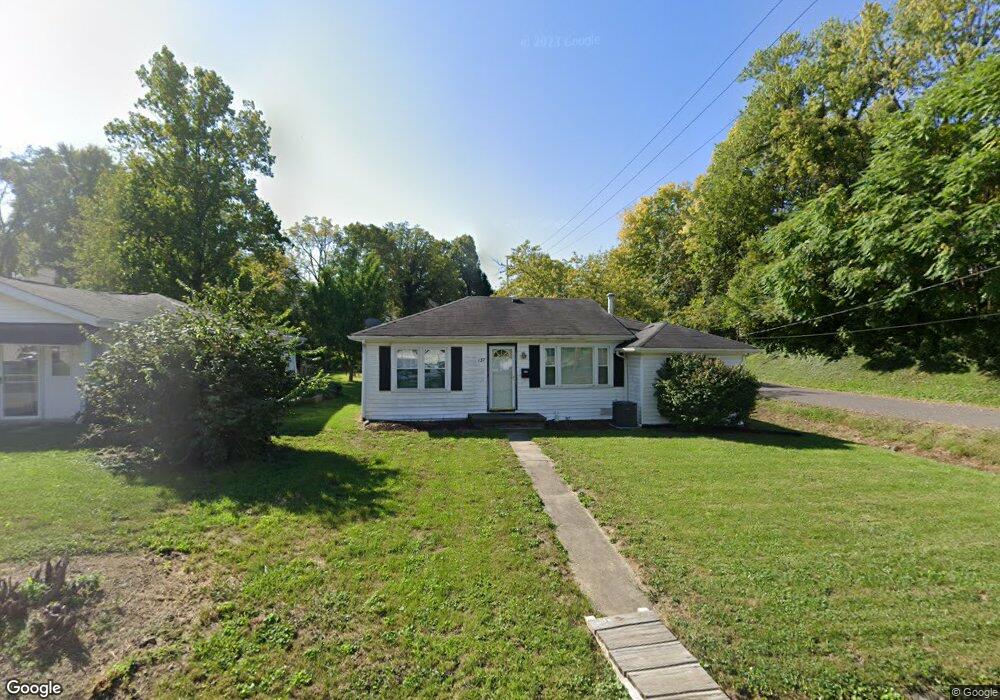
137 W Juda Ave Collinsville, IL 62234
Estimated Value: $140,000 - $168,000
4
Beds
1
Bath
1,200
Sq Ft
$129/Sq Ft
Est. Value
About This Home
This home is located at 137 W Juda Ave, Collinsville, IL 62234 and is currently estimated at $155,183, approximately $129 per square foot. 137 W Juda Ave is a home located in Madison County with nearby schools including John A Renfro Elementary School, Dorris Intermediate School, and Collinsville Middle School.
Ownership History
Date
Name
Owned For
Owner Type
Purchase Details
Closed on
Sep 29, 2006
Sold by
Smith Gary R and Smith Kelly S
Bought by
Romero Martin and Romero Martha M
Current Estimated Value
Home Financials for this Owner
Home Financials are based on the most recent Mortgage that was taken out on this home.
Original Mortgage
$83,000
Outstanding Balance
$55,107
Interest Rate
8.6%
Mortgage Type
Unknown
Estimated Equity
$100,076
Create a Home Valuation Report for This Property
The Home Valuation Report is an in-depth analysis detailing your home's value as well as a comparison with similar homes in the area
Home Values in the Area
Average Home Value in this Area
Purchase History
| Date | Buyer | Sale Price | Title Company |
|---|---|---|---|
| Romero Martin | $83,000 | Chicago Title |
Source: Public Records
Mortgage History
| Date | Status | Borrower | Loan Amount |
|---|---|---|---|
| Open | Romero Martin | $83,000 |
Source: Public Records
Tax History Compared to Growth
Tax History
| Year | Tax Paid | Tax Assessment Tax Assessment Total Assessment is a certain percentage of the fair market value that is determined by local assessors to be the total taxable value of land and additions on the property. | Land | Improvement |
|---|---|---|---|---|
| 2024 | $2,620 | $46,980 | $7,200 | $39,780 |
| 2023 | $2,620 | $43,480 | $6,660 | $36,820 |
| 2022 | $2,467 | $39,110 | $5,960 | $33,150 |
| 2021 | $2,123 | $36,740 | $5,600 | $31,140 |
| 2020 | $2,028 | $35,050 | $5,340 | $29,710 |
| 2019 | $1,959 | $33,850 | $5,160 | $28,690 |
| 2018 | $1,850 | $31,350 | $4,870 | $26,480 |
| 2017 | $1,843 | $30,720 | $4,770 | $25,950 |
| 2016 | $1,932 | $30,720 | $4,770 | $25,950 |
| 2015 | $1,791 | $29,930 | $4,650 | $25,280 |
| 2014 | $1,791 | $29,930 | $4,650 | $25,280 |
| 2013 | $1,791 | $29,930 | $4,650 | $25,280 |
Source: Public Records
Map
Nearby Homes
- 0 Strong Ave
- 123 W Wickliffe Ave
- 617 N Morrison Ave
- 123 Elliot St
- 308 Brown Ave
- 580 N Guernsey St
- 1224 Cedar Ridge Ct
- 5 Brookwood Dr
- 510 N Combs Ave
- 22 Brookwood Dr
- 1120 Williams St
- 1210 Constance St
- 0 Elm St
- 501 Spring
- 419 Bell St
- 414 Bunker Hill Dr
- 300 N Combs Ave
- 221 N Hesperia St Unit 221 A and 221 B
- 1121 Carraway Ct
- 506 W Clay St