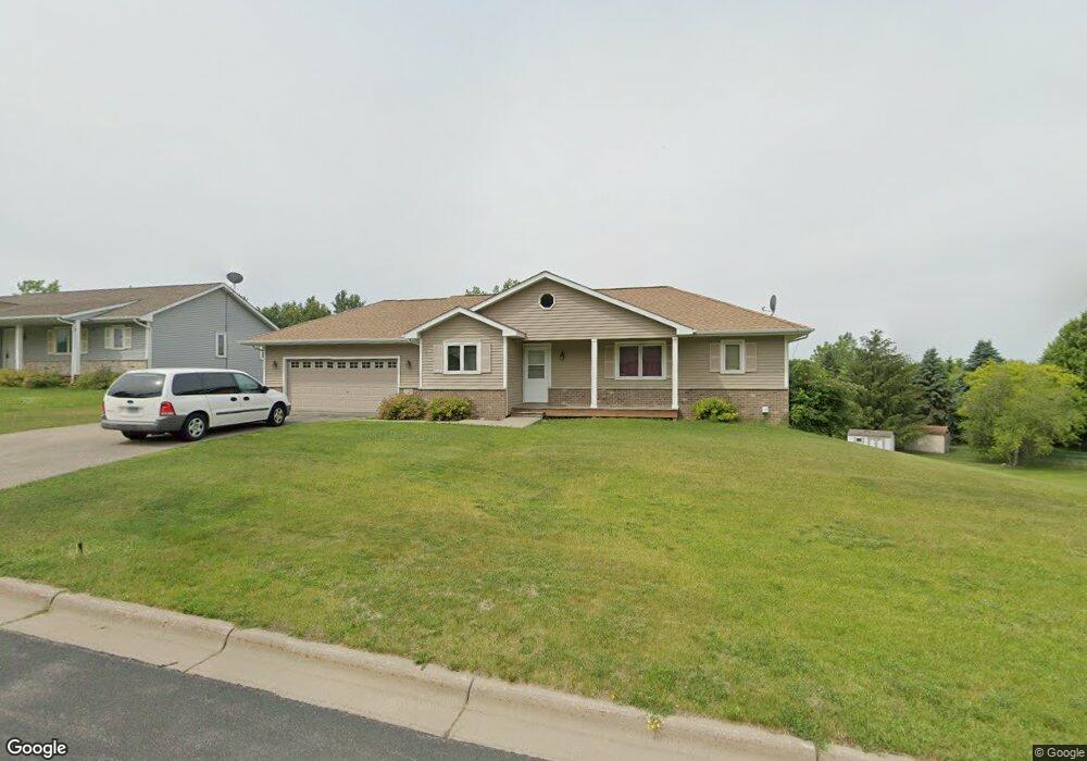
13706 Judicial Rd Burnsville, MN 55337
Estimated Value: $420,494 - $442,000
3
Beds
2
Baths
1,199
Sq Ft
$362/Sq Ft
Est. Value
About This Home
This home is located at 13706 Judicial Rd, Burnsville, MN 55337 and is currently estimated at $434,374, approximately $362 per square foot. 13706 Judicial Rd is a home located in Dakota County with nearby schools including Edward Neill Elementary School, Joseph Nicollet Middle School, and Burnsville High School.
Ownership History
Date
Name
Owned For
Owner Type
Purchase Details
Closed on
Mar 5, 2009
Sold by
Greater Metropolitan Housing Corp
Bought by
Yusuf Ahmed Mohamed
Current Estimated Value
Home Financials for this Owner
Home Financials are based on the most recent Mortgage that was taken out on this home.
Original Mortgage
$21,500
Outstanding Balance
$13,657
Interest Rate
5.11%
Mortgage Type
Purchase Money Mortgage
Estimated Equity
$420,717
Create a Home Valuation Report for This Property
The Home Valuation Report is an in-depth analysis detailing your home's value as well as a comparison with similar homes in the area
Home Values in the Area
Average Home Value in this Area
Purchase History
| Date | Buyer | Sale Price | Title Company |
|---|---|---|---|
| Yusuf Ahmed Mohamed | $222,000 | -- |
Source: Public Records
Mortgage History
| Date | Status | Borrower | Loan Amount |
|---|---|---|---|
| Open | Yusuf Ahmed Mohamed | $21,500 |
Source: Public Records
Tax History Compared to Growth
Tax History
| Year | Tax Paid | Tax Assessment Tax Assessment Total Assessment is a certain percentage of the fair market value that is determined by local assessors to be the total taxable value of land and additions on the property. | Land | Improvement |
|---|---|---|---|---|
| 2024 | $3,946 | $376,100 | $79,600 | $296,500 |
| 2023 | $3,946 | $377,600 | $79,700 | $297,900 |
| 2022 | $2,660 | $310,100 | $79,500 | $230,600 |
| 2021 | $2,642 | $258,500 | $69,200 | $189,300 |
| 2020 | $2,638 | $244,700 | $65,900 | $178,800 |
| 2019 | $2,609 | $236,300 | $62,700 | $173,600 |
| 2018 | $2,534 | $223,600 | $59,700 | $163,900 |
| 2017 | $2,346 | $212,000 | $56,900 | $155,100 |
| 2016 | $2,388 | $195,500 | $54,200 | $141,300 |
| 2015 | $2,395 | $171,495 | $47,105 | $124,390 |
| 2014 | -- | $179,779 | $46,593 | $133,186 |
| 2013 | -- | $163,102 | $41,973 | $121,129 |
Source: Public Records
Map
Nearby Homes
- 13840 York Ave S
- 13812 Sunset Lake Dr
- 13817 Thomas Ave S
- 2704 W 135th St
- 13717 W Preserve Blvd
- 2408 Friendship Ln
- 4008 W 137th St
- 2104 W 140th St
- 2108 Friendship Ln
- 13208 Upton Ave S
- 13147 Thomas Ave S
- 1905 W 140th St
- 13303 Morgan Ave S
- 1724 W 140th St
- 1701 W 138th St
- 13100 Thomas Ave S
- 2729 Terrace Dr
- 1725 W 140th St
- 4368 W 141st St
- 13036 Judicial Rd
- 13652 Judicial Loop
- 13710 Judicial Rd
- 13648 Judicial Loop
- 13705 Judicial Rd
- 13709 Judicial Rd
- 13701 Judicial Rd
- 3212 Sunset Lake Dr
- 3204 Sunset Lake Dr
- 3216 Sunset Lake Dr
- 13641 Vincent Cir
- 3220 Sunset Lake Dr
- 13713 Judicial Rd
- 13644 Judicial Loop
- 3200 Sunset Lake Dr
- 13645 Judicial Loop
- 3224 Sunset Lake Dr
- 3124 Sunset Lake Ct
- 13640 Judicial Loop
- 3228 Sunset Lake Dr
- 13700 Washburn Ave S