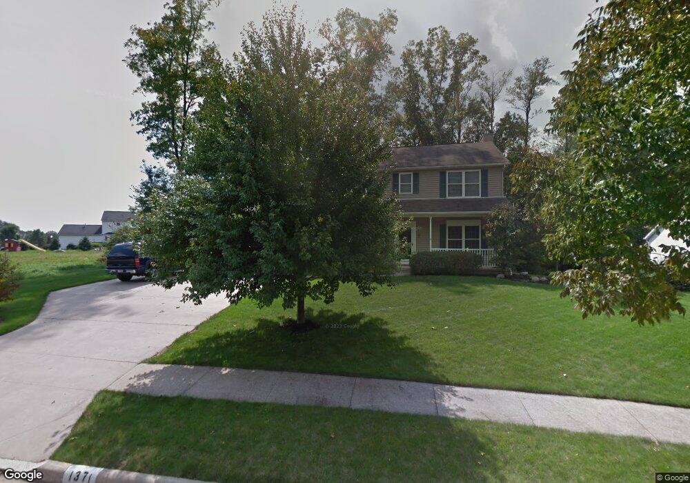
1371 Cheverton Ave Louisville, OH 44641
Estimated Value: $269,000 - $351,000
4
Beds
3
Baths
2,380
Sq Ft
$134/Sq Ft
Est. Value
About This Home
This home is located at 1371 Cheverton Ave, Louisville, OH 44641 and is currently estimated at $319,286, approximately $134 per square foot. 1371 Cheverton Ave is a home located in Stark County with nearby schools including Louisville High School and St. Thomas Aquinas High School & Middle School.
Ownership History
Date
Name
Owned For
Owner Type
Purchase Details
Closed on
Feb 26, 2002
Sold by
Mckinley Development Company
Bought by
Nau Robert A and Murphy Nau Michele L
Current Estimated Value
Home Financials for this Owner
Home Financials are based on the most recent Mortgage that was taken out on this home.
Original Mortgage
$18,775
Interest Rate
6.95%
Mortgage Type
Purchase Money Mortgage
Create a Home Valuation Report for This Property
The Home Valuation Report is an in-depth analysis detailing your home's value as well as a comparison with similar homes in the area
Home Values in the Area
Average Home Value in this Area
Purchase History
| Date | Buyer | Sale Price | Title Company |
|---|---|---|---|
| Nau Robert A | $39,900 | -- |
Source: Public Records
Mortgage History
| Date | Status | Borrower | Loan Amount |
|---|---|---|---|
| Previous Owner | Nau Robert A | $18,775 | |
| Closed | Nau Robert A | $150,500 |
Source: Public Records
Tax History Compared to Growth
Tax History
| Year | Tax Paid | Tax Assessment Tax Assessment Total Assessment is a certain percentage of the fair market value that is determined by local assessors to be the total taxable value of land and additions on the property. | Land | Improvement |
|---|---|---|---|---|
| 2025 | -- | $91,350 | $31,360 | $59,990 |
| 2024 | -- | $91,350 | $31,360 | $59,990 |
| 2023 | $2,901 | $67,520 | $18,590 | $48,930 |
| 2022 | $2,907 | $67,520 | $18,590 | $48,930 |
| 2021 | $2,916 | $67,520 | $18,590 | $48,930 |
| 2020 | $2,445 | $61,500 | $16,730 | $44,770 |
| 2019 | $2,455 | $65,980 | $16,170 | $49,810 |
| 2018 | $2,624 | $65,980 | $16,170 | $49,810 |
| 2017 | $2,324 | $56,390 | $12,670 | $43,720 |
| 2016 | $2,372 | $56,390 | $12,670 | $43,720 |
| 2015 | $2,379 | $56,390 | $12,670 | $43,720 |
| 2014 | $317 | $51,070 | $11,480 | $39,590 |
| 2013 | $1,162 | $51,070 | $11,480 | $39,590 |
Source: Public Records
Map
Nearby Homes
- 910 Crosswyck Cir
- 1170 Winding Ridge Ave
- 316 E Reno Dr
- 5474 Ravenna Ave
- 428 Honeycrisp Dr NE
- 3047 Mcintosh Dr NE
- 432 Honeycrisp Dr NE
- 2962 Mcintosh Dr NE
- 2963 Mcintosh Dr NE
- 430 Honeycrisp Dr NE
- 2957 Mcintosh Dr NE
- 0 Michigan Blvd
- 325 Lincoln Ave
- 524 Glenbar St
- 614 Reno Dr
- 300 Kennedy St
- 0 Glenbar St
- 0 Brookridge Ave
- 308 Superior St
- 2015 E Main St
- 0 Cheverton Unit 3293569
- 1379 Cheverton Ave
- 1368 Cheverton Ave
- 1353 Cheverton Ave
- 1348 Cheverton Ave
- 1387 Cheverton Ave
- 1390 Cheverton Ave
- 1019 Reno Dr
- 1019 E Reno Dr
- 1334 Cheverton Ave
- 1009 E Reno Dr
- 1103 Reno Dr
- 1103 E Reno Dr
- 923 E Reno Dr
- 911 E Reno Dr
- 39 S/L Cheverton Ave
- 1322 Cheverton Ave
- 903 Reno Dr
- 1393 Cheverton Ave
- 1296 Winding Ridge Ave