13725 Industry Rd Lebanon, MO 65536
Estimated Value: $116,073 - $194,000
--
Bed
--
Bath
749
Sq Ft
$207/Sq Ft
Est. Value
About This Home
This home is located at 13725 Industry Rd, Lebanon, MO 65536 and is currently estimated at $155,037, approximately $206 per square foot. 13725 Industry Rd is a home located in Laclede County with nearby schools including Joel E. Barber Elementary School.
Ownership History
Date
Name
Owned For
Owner Type
Purchase Details
Closed on
Jun 5, 2013
Sold by
Bowling Edmond E and Bowling Pamela S
Bought by
Runge Mark and Runge Tammy
Current Estimated Value
Purchase Details
Closed on
Feb 4, 2008
Sold by
Richardson Joni
Bought by
Bowling Edmond E and Bowling Pamela S
Home Financials for this Owner
Home Financials are based on the most recent Mortgage that was taken out on this home.
Original Mortgage
$15,000
Interest Rate
6.15%
Mortgage Type
Future Advance Clause Open End Mortgage
Create a Home Valuation Report for This Property
The Home Valuation Report is an in-depth analysis detailing your home's value as well as a comparison with similar homes in the area
Home Values in the Area
Average Home Value in this Area
Purchase History
| Date | Buyer | Sale Price | Title Company |
|---|---|---|---|
| Runge Mark | -- | None Available | |
| Bowling Edmond E | -- | None Available |
Source: Public Records
Mortgage History
| Date | Status | Borrower | Loan Amount |
|---|---|---|---|
| Previous Owner | Bowling Edmond E | $15,000 |
Source: Public Records
Tax History Compared to Growth
Tax History
| Year | Tax Paid | Tax Assessment Tax Assessment Total Assessment is a certain percentage of the fair market value that is determined by local assessors to be the total taxable value of land and additions on the property. | Land | Improvement |
|---|---|---|---|---|
| 2025 | $256 | $6,520 | $0 | $0 |
| 2024 | $256 | $6,000 | $0 | $0 |
| 2023 | $254 | $6,000 | $0 | $0 |
| 2022 | $254 | $6,000 | $0 | $0 |
| 2021 | $245 | $6,441 | $1,501 | $4,940 |
| 2020 | $246 | $6,441 | $1,501 | $4,940 |
| 2019 | $10 | $240 | $240 | $0 |
| 2018 | $11 | $260 | $260 | $0 |
| 2017 | $10 | $260 | $0 | $0 |
| 2016 | $10 | $260 | $0 | $0 |
| 2015 | $10 | $260 | $0 | $0 |
| 2014 | $10 | $250 | $0 | $0 |
| 2013 | -- | $250 | $0 | $0 |
Source: Public Records
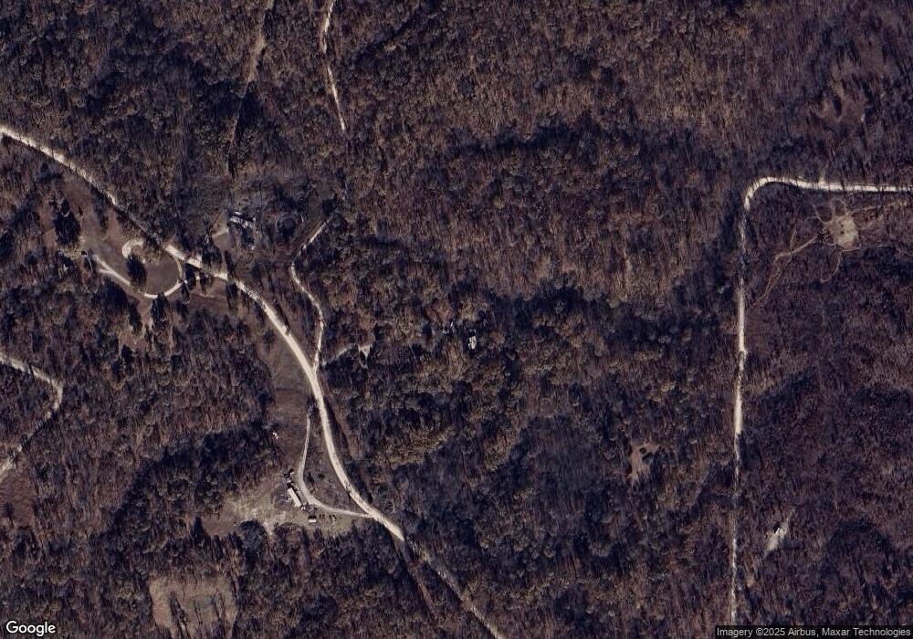
Map
Nearby Homes
- 13715 Industry Rd
- 27409 Missouri Dr
- 13071 Industry Rd
- 13940 Industry Rd
- 13025 Industry Rd
- 000 Ivory Rd
- 15800 Highway Ww
- 25575 Misty Oak Dr
- 25195 Mcbride Dr
- 12913 Highway 64
- 27805 Millersburg Dr
- 15650 Highway Ww
- 15944 Highway Ww
- 0 Industry Rd Unit 3572808
- 13704 Golden Leaf Ln
- Tract G Golden Ln
- Tract C Golden Ln
- Tract D Golden Ln
- Tract B Glory Ln
- Tbd 1 Glory Ln
- 13635 Industry Rd
- 13800 Industry Rd
- 13624 Industry Rd
- 13610 Industry Rd
- Tbd Maine Dr
- 28600 County Road Ww-961
- 14805 County Road Ww-961
- 28002 County Road Ww-961
- Tbd County Road Ww-961
- 26999 County Road Ww-961
- 27031 Maine Dr
- 27304 Maine Dr
- 0 Maine Dr Unit 23568
- 27010 Maine Dr
- 13805 Harvest Rd
- 13803 Harvest Rd
- 13787 Harvest Rd
- 28352 Maine Dr
- 13987 Harvest Rd
- 14025 Highway Ww