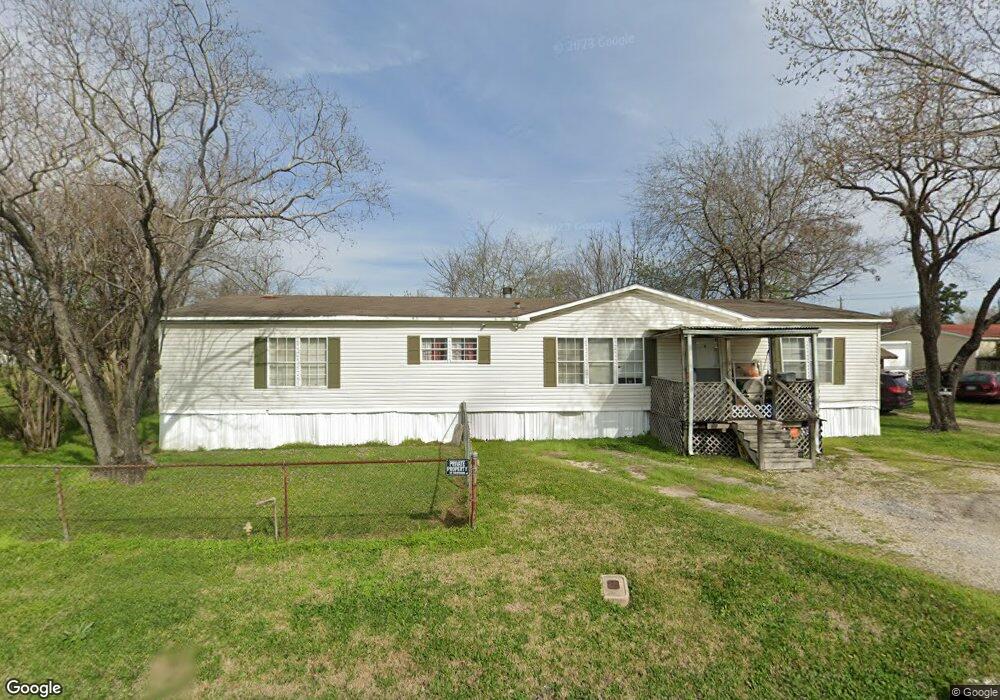
13733 Nimitz St Houston, TX 77015
North Shore NeighborhoodEstimated Value: $164,306 - $191,000
1
Bed
1
Bath
612
Sq Ft
$289/Sq Ft
Est. Value
About This Home
This home is located at 13733 Nimitz St, Houston, TX 77015 and is currently estimated at $177,077, approximately $289 per square foot. 13733 Nimitz St is a home located in Harris County with nearby schools including Cloverleaf Elementary School, Cobb 6th Grade Campus, and North Shore Middle School.
Ownership History
Date
Name
Owned For
Owner Type
Purchase Details
Closed on
Sep 19, 2024
Sold by
Pate Robert Martin
Bought by
Callejas Catalina
Current Estimated Value
Purchase Details
Closed on
Jul 26, 2023
Sold by
Pate Beverly Janelle
Bought by
Pate Robert Martin
Purchase Details
Closed on
Mar 23, 2001
Sold by
Pate Beverlyn Janelle and Pate Janelle
Bought by
Pate Robert Martin
Purchase Details
Closed on
Jul 27, 1998
Sold by
Liska Margaret Pearl
Bought by
Pate Janelle
Purchase Details
Closed on
Oct 4, 1971
Sold by
Windsor Enterprises Inc
Bought by
Liska John M and Liska Margaret P
Create a Home Valuation Report for This Property
The Home Valuation Report is an in-depth analysis detailing your home's value as well as a comparison with similar homes in the area
Home Values in the Area
Average Home Value in this Area
Purchase History
| Date | Buyer | Sale Price | Title Company |
|---|---|---|---|
| Callejas Catalina | -- | Capital Title | |
| Pate Robert Martin | -- | None Listed On Document | |
| Pate Robert Martin | -- | -- | |
| Pate Janelle | -- | -- | |
| Liska John M | -- | -- |
Source: Public Records
Tax History Compared to Growth
Tax History
| Year | Tax Paid | Tax Assessment Tax Assessment Total Assessment is a certain percentage of the fair market value that is determined by local assessors to be the total taxable value of land and additions on the property. | Land | Improvement |
|---|---|---|---|---|
| 2025 | $4,202 | $182,156 | $105,000 | $77,156 |
| 2024 | $4,202 | $186,671 | $105,000 | $81,671 |
| 2023 | $4,202 | $178,402 | $63,000 | $115,402 |
| 2022 | $2,673 | $151,325 | $63,000 | $88,325 |
| 2021 | $2,626 | $120,522 | $49,876 | $70,646 |
| 2020 | $2,447 | $92,358 | $49,876 | $42,482 |
| 2019 | $2,226 | $79,594 | $49,876 | $29,718 |
| 2018 | $1,123 | $71,388 | $49,876 | $21,512 |
| 2017 | $1,912 | $68,572 | $49,876 | $18,696 |
| 2016 | $1,912 | $68,572 | $49,876 | $18,696 |
| 2015 | $1,501 | $68,572 | $49,876 | $18,696 |
| 2014 | $1,501 | $55,179 | $36,750 | $18,429 |
Source: Public Records
Map
Nearby Homes
- 13522 Boise St
- 13434 Duluth St
- 1035 Nadolney St
- 13430 Duluth St
- 1402 W Victorson St
- 13842 Laredo St
- 13210 Rockglen St
- 13362 Emporia St
- 13430 Orleans St
- 13505 Orleans St
- 13331 Emporia St
- 13122 Emporia St
- 816 Barbara Mae St
- 14307 Laredo St
- 813 Barbara Mae St
- 13326 Joliet St
- 14750 Kenny St
- 14615 Victoria St
- 0 Victoria St
- TBD Gainesville St
- 1220 Nadolney St
- 1215 Nadolney St
- 13735 Muscatine St
- 13725 Muscatine St
- 1219 Nadolney St
- 13739 Muscatine St
- 13723 Muscatine St
- 1227 Nadolney St
- 13719 Muscatine St
- 13730 Mcnair St
- 1202 Nadolney St
- 13722 Mcnair St
- 13709 Muscatine St
- 0 NE Muscatine St Unit 943555
- 13804 Mcnair St
- 13822 Nimitz St
- 13703 Muscatine St
- 13809 Muscatine St
- 13735 Mcnair St
- 13727 Mcnair St