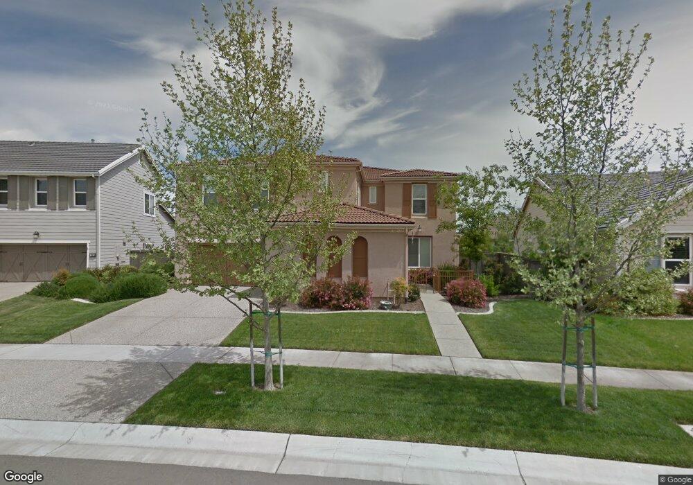
1379 Sundance Dr Plumas Lake, CA 95961
Estimated Value: $534,000 - $672,000
5
Beds
4
Baths
3,969
Sq Ft
$157/Sq Ft
Est. Value
About This Home
This home is located at 1379 Sundance Dr, Plumas Lake, CA 95961 and is currently estimated at $621,424, approximately $156 per square foot. 1379 Sundance Dr is a home located in Yuba County with nearby schools including Rio Del Oro Elementary School, Cobblestone Elementary School, and Riverside Meadows Intermediate School.
Ownership History
Date
Name
Owned For
Owner Type
Purchase Details
Closed on
Nov 6, 2007
Sold by
Us Home Corp
Bought by
Alexander Lashawn M and Alexander Raymond D
Current Estimated Value
Home Financials for this Owner
Home Financials are based on the most recent Mortgage that was taken out on this home.
Original Mortgage
$400,600
Outstanding Balance
$253,071
Interest Rate
6.35%
Mortgage Type
Purchase Money Mortgage
Estimated Equity
$368,353
Purchase Details
Closed on
Apr 10, 2007
Sold by
Landsource Holding Co Llc
Bought by
Us Home Corp
Purchase Details
Closed on
Feb 15, 2007
Sold by
Mw Housing Partners Iii Lp
Bought by
Landsource Holding Co Llc
Create a Home Valuation Report for This Property
The Home Valuation Report is an in-depth analysis detailing your home's value as well as a comparison with similar homes in the area
Home Values in the Area
Average Home Value in this Area
Purchase History
| Date | Buyer | Sale Price | Title Company |
|---|---|---|---|
| Alexander Lashawn M | $422,000 | Placer Title Company | |
| Us Home Corp | -- | North American Title | |
| Landsource Holding Co Llc | -- | None Available |
Source: Public Records
Mortgage History
| Date | Status | Borrower | Loan Amount |
|---|---|---|---|
| Open | Alexander Lashawn M | $400,600 |
Source: Public Records
Tax History Compared to Growth
Tax History
| Year | Tax Paid | Tax Assessment Tax Assessment Total Assessment is a certain percentage of the fair market value that is determined by local assessors to be the total taxable value of land and additions on the property. | Land | Improvement |
|---|---|---|---|---|
| 2025 | $8,325 | $553,880 | $91,937 | $461,943 |
| 2023 | $8,325 | $532,374 | $88,368 | $444,006 |
| 2022 | $8,066 | $521,936 | $86,636 | $435,300 |
| 2021 | $7,840 | $511,703 | $84,938 | $426,765 |
| 2020 | $7,354 | $430,000 | $70,000 | $360,000 |
| 2019 | $7,309 | $430,000 | $65,000 | $365,000 |
| 2018 | $6,674 | $400,000 | $50,000 | $350,000 |
| 2017 | $6,587 | $370,000 | $40,000 | $330,000 |
| 2016 | $6,475 | $360,000 | $40,000 | $320,000 |
| 2015 | $6,223 | $340,000 | $30,000 | $310,000 |
| 2014 | $6,188 | $340,000 | $30,000 | $310,000 |
Source: Public Records
Map
Nearby Homes
- 1911 Broken Bit Dr
- 1962 Knights Ferry Dr
- 1836 Broken Bit Dr
- 1406 Sundance Dr
- 1974 Bidwell Bar Dr
- 1986 Branding Iron Way
- 1352 Bedford Way
- 1390 Heartland Dr
- 1758 Durham Ct
- 2035 Bidwell Bar Dr
- 2040 Maverick Dr
- 1351 Leighton Grove Dr
- 1337 Wawona Ct
- 1711 Churchill Way
- 1149 Oxbow Ct
- 1649 Notting Hill Way
- 1666 Guildford Way
- 1670 Guildford Way
- 1721 London Way
- 1165 Aldersgate Dr
- 1381 Sundance Dr
- 1377 Sundance Dr
- 1394 High Noon Dr
- 1396 High Noon Dr
- 1383 Sundance Dr
- 1375 Sundance Dr
- 1392 High Noon Dr
- 1398 High Noon Dr
- 1378 Sundance Dr
- 1390 High Noon Dr
- 1382 Sundance Dr
- 1400 High Noon Dr
- 1385 Sundance Dr
- 1373 Sundance Dr
- 1388 High Noon Dr
- 1402 High Noon Dr
- 1386 Sundance Dr
- 1387 Sundance Dr
- 1391 High Noon Dr
- 1389 High Noon Dr