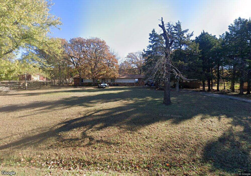
1381 N 337th West Ave Mannford, OK 74044
Estimated Value: $183,886 - $274,000
2
Beds
2
Baths
1,200
Sq Ft
$204/Sq Ft
Est. Value
About This Home
This home is located at 1381 N 337th West Ave, Mannford, OK 74044 and is currently estimated at $244,472, approximately $203 per square foot. 1381 N 337th West Ave is a home with nearby schools including Mannford Upper Elementary School, Mannford Lower Elementary School, and Mannford Middle School.
Ownership History
Date
Name
Owned For
Owner Type
Purchase Details
Closed on
May 7, 2004
Sold by
Burlison Walter W
Bought by
West Donald and West Christi
Current Estimated Value
Purchase Details
Closed on
May 2, 2002
Sold by
Fore Todd and Fore Kimberly
Bought by
Burlison Walter W
Purchase Details
Closed on
Dec 29, 1999
Sold by
Banas Cynthia
Bought by
Fore Todd
Purchase Details
Closed on
Aug 2, 1995
Sold by
Anderson Kenneth W
Bought by
Banas Cynthia
Create a Home Valuation Report for This Property
The Home Valuation Report is an in-depth analysis detailing your home's value as well as a comparison with similar homes in the area
Home Values in the Area
Average Home Value in this Area
Purchase History
| Date | Buyer | Sale Price | Title Company |
|---|---|---|---|
| West Donald | $90,000 | -- | |
| Burlison Walter W | $90,000 | -- | |
| Fore Todd | $72,500 | -- | |
| Banas Cynthia | $49,500 | -- |
Source: Public Records
Tax History Compared to Growth
Tax History
| Year | Tax Paid | Tax Assessment Tax Assessment Total Assessment is a certain percentage of the fair market value that is determined by local assessors to be the total taxable value of land and additions on the property. | Land | Improvement |
|---|---|---|---|---|
| 2025 | $989 | $11,322 | $1,694 | $9,628 |
| 2024 | $956 | $10,993 | $1,694 | $9,299 |
| 2023 | $956 | $10,673 | $1,694 | $8,979 |
| 2022 | $866 | $10,362 | $1,694 | $8,668 |
| 2021 | $830 | $10,060 | $1,694 | $8,366 |
| 2020 | $855 | $10,060 | $1,694 | $8,366 |
| 2019 | $879 | $10,224 | $1,694 | $8,530 |
| 2018 | $938 | $10,552 | $1,694 | $8,858 |
| 2017 | $933 | $10,716 | $1,694 | $9,022 |
| 2016 | $944 | $10,880 | $1,694 | $9,186 |
| 2015 | $973 | $11,593 | $1,694 | $9,899 |
| 2014 | $975 | $11,447 | $1,694 | $9,753 |
Source: Public Records
Map
Nearby Homes
- 0 N 3740 Rd Unit 2538809
- 1380 N Lakeview Ave
- 17407 W 1st St S
- 17554 W 1st St S
- 01 N 337th West Ave
- 1454 N 337th West Ave
- 34285 W Basin Rd
- 73 E Possum Trot Ln
- 3891 Fox Run Rd
- 0 Rock Creek Rd
- 1023 S Ash Trail
- 0 Fox Rd Unit 2520331
- 631 S Keystone Dr
- 597 S Keystone Dr
- 850 Texoma Place
- 32552 Meadowood Dr
- 233 Murray Place
- 1520 S Peninsula Dr W
- 01 S 337th West Ave
- 73 Grand Place
- 1355 N 337th West Ave
- 30924 E Basin Rd
- 31707 E Basin Rd
- 1640 N Castlewood Ln
- 30881 E Basin Rd
- 30694 E Basin Rd
- 1710 N Castlewood Ln
- 1639 N Castlewood Ln
- 30536 E Basin Rd
- 1719 N Castlewood Ln
- 30422 W Ridge Rd
- 1945 Woodridge Dr
- 331311 W Lake Rd
- 30445 W Ridge Rd
- 30335 Lake Rd
- 30335 W Lake Rd
- 0 W Athens Rd
- 0 Lake Rd Unit 1545227
- 30405 W Athens Rd
- 30216 W Athens Rd