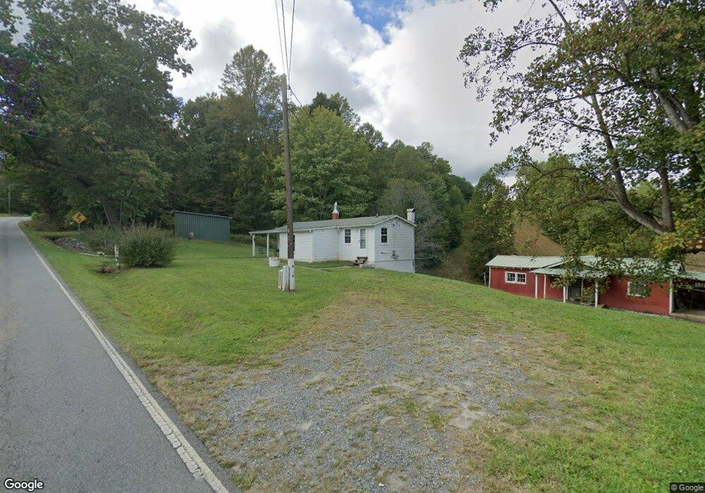
1384 Siloam Rd Mount Airy, NC 27030
Estimated Value: $134,412 - $270,000
2
Beds
1
Bath
896
Sq Ft
$207/Sq Ft
Est. Value
About This Home
This home is located at 1384 Siloam Rd, Mount Airy, NC 27030 and is currently estimated at $185,103, approximately $206 per square foot. 1384 Siloam Rd is a home with nearby schools including White Plains Elementary School, J. Sam Gentry Middle School, and North Surry High School.
Ownership History
Date
Name
Owned For
Owner Type
Purchase Details
Closed on
May 20, 2021
Sold by
Atkins Rita V and Atkins Lonnie
Bought by
Kirby Debbie V and Venable Frakie R
Current Estimated Value
Purchase Details
Closed on
Aug 12, 2010
Sold by
Venable Garnet Wade
Bought by
Kirby Debbie Ann
Purchase Details
Closed on
Oct 1, 1999
Purchase Details
Closed on
Jul 1, 1995
Purchase Details
Closed on
Mar 1, 1956
Purchase Details
Closed on
Nov 1, 1948
Create a Home Valuation Report for This Property
The Home Valuation Report is an in-depth analysis detailing your home's value as well as a comparison with similar homes in the area
Home Values in the Area
Average Home Value in this Area
Purchase History
| Date | Buyer | Sale Price | Title Company |
|---|---|---|---|
| Kirby Debbie V | $9,000 | None Available | |
| Kirby Debbie Ann | -- | None Available | |
| -- | -- | -- | |
| -- | $5,000 | -- | |
| -- | -- | -- | |
| -- | -- | -- |
Source: Public Records
Tax History Compared to Growth
Tax History
| Year | Tax Paid | Tax Assessment Tax Assessment Total Assessment is a certain percentage of the fair market value that is determined by local assessors to be the total taxable value of land and additions on the property. | Land | Improvement |
|---|---|---|---|---|
| 2025 | $278 | $64,350 | $30,660 | $33,690 |
| 2024 | $232 | $53,660 | $25,360 | $28,300 |
| 2023 | $229 | $53,120 | $24,820 | $28,300 |
| 2022 | $229 | $53,120 | $24,820 | $28,300 |
| 2021 | $230 | $53,120 | $24,820 | $28,300 |
| 2020 | $226 | $51,260 | $23,090 | $28,170 |
| 2019 | $223 | $51,260 | $0 | $0 |
| 2018 | $220 | $51,260 | $0 | $0 |
| 2017 | $220 | $51,260 | $0 | $0 |
| 2016 | $220 | $51,260 | $0 | $0 |
| 2013 | -- | $49,730 | $0 | $0 |
Source: Public Records
Map
Nearby Homes
- 112 Balcony Ln
- 123 Old Brintle St
- 235 Hunter Ridge Ln
- 000 Old Childress Ave
- 1398 Simpson Mill Rd
- 151 Siloam Rd
- 156 Grace Way
- 167 Buck Hollow Trail
- 250 High Meadow Trail
- 189 Village Main Trail
- 876 Rock Hill Church Rd
- 129 Seabrook Rd
- 146 Hooker Trail
- 153 Hooker Trail
- 195 Piney Grove Rd
- TBD Marion Dr
- 0 Marion Dr
- x Green Meadow Ln Unit 5 Ac S
- 00 Nancy Dr
- 181 Fox Walk Ln
- 1350 Siloam Rd
- 246 Rocky Top Trail
- 152 Rocky Top Trail
- 185 Rocky Top Trail
- 1306 Siloam Rd
- 1299 Siloam Rd
- 1485 Siloam Rd
- 131 Rocky Top Trail
- 1259 Siloam Rd
- 129 Bancroft Ln
- 200 Sweet Dream Ln
- 148 Bancroft Ln
- 168 Bancroft Ln
- 1221 Siloam Rd
- 0 Siloam Rd Unit W438368
- 0 Siloam Rd Unit 1083534
- 1537 Siloam Rd
- 137 Cardigan Ln
- 155 Cardigan Ln
- 1548 Siloam Rd