Estimated Value: $278,234 - $303,000
3
Beds
3
Baths
1,897
Sq Ft
$153/Sq Ft
Est. Value
About This Home
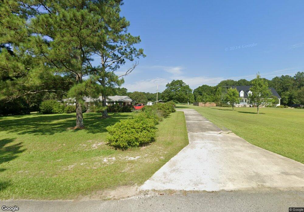
This home is located at 139 Brown Rd, Pitts, GA 31072 and is currently estimated at $290,559, approximately $153 per square foot. 139 Brown Rd is a home located in Crisp County with nearby schools including Crisp County Elementary School, Crisp County Primary School, and Crisp County Middle School.
Ownership History
Date
Name
Owned For
Owner Type
Purchase Details
Closed on
Dec 13, 2019
Sold by
Pitts Juanita Harpe
Bought by
Lewis Daniel
Current Estimated Value
Home Financials for this Owner
Home Financials are based on the most recent Mortgage that was taken out on this home.
Original Mortgage
$166,920
Outstanding Balance
$146,230
Interest Rate
3.5%
Mortgage Type
FHA
Estimated Equity
$144,329
Purchase Details
Closed on
Aug 15, 2001
Sold by
Pitts Juanita H
Bought by
Stokes John L and Mary Elizabeth J
Purchase Details
Closed on
Jan 23, 1974
Bought by
Pitts Pitts B and Pitts Juanita
Create a Home Valuation Report for This Property
The Home Valuation Report is an in-depth analysis detailing your home's value as well as a comparison with similar homes in the area
Home Values in the Area
Average Home Value in this Area
Purchase History
| Date | Buyer | Sale Price | Title Company |
|---|---|---|---|
| Lewis Daniel | $170,000 | -- | |
| Stokes John L | -- | -- | |
| Pitts Juanita H | -- | -- | |
| Pitts Pitts B | -- | -- |
Source: Public Records
Mortgage History
| Date | Status | Borrower | Loan Amount |
|---|---|---|---|
| Open | Lewis Daniel | $166,920 |
Source: Public Records
Tax History Compared to Growth
Tax History
| Year | Tax Paid | Tax Assessment Tax Assessment Total Assessment is a certain percentage of the fair market value that is determined by local assessors to be the total taxable value of land and additions on the property. | Land | Improvement |
|---|---|---|---|---|
| 2025 | $2,102 | $85,715 | $18,342 | $67,373 |
| 2024 | $2,102 | $77,626 | $16,984 | $60,642 |
| 2023 | $2,085 | $74,260 | $16,984 | $57,276 |
| 2022 | $1,896 | $67,498 | $13,587 | $53,911 |
| 2021 | $1,902 | $64,133 | $13,587 | $50,546 |
| 2020 | $1,905 | $64,133 | $13,587 | $50,546 |
| 2019 | $1,712 | $58,006 | $13,587 | $44,419 |
| 2018 | $1,072 | $50,693 | $12,704 | $37,989 |
| 2017 | $1,559 | $50,693 | $12,704 | $37,989 |
| 2016 | $1,075 | $50,693 | $12,704 | $37,989 |
| 2015 | -- | $50,693 | $12,704 | $37,989 |
| 2014 | -- | $50,693 | $12,704 | $37,989 |
| 2013 | -- | $50,692 | $12,704 | $37,988 |
Source: Public Records
Map
Nearby Homes
- 00 Griffin Rd
- 501 Cottonwood Rd
- 000 Brady Rd
- 595 Georgia 257
- 293 Wildwood Dr
- 0 Barrentine Rd
- 146 7th Ave W
- 0 Barentine Rd
- 655 Tom Howard Farm Rd
- 650 Tom Howard Farm Rd
- 0 Old Nesbitt Rd
- 160 Old Nesbitt Rd
- 1643 Ga Highway 257
- 1607 Georgia 257
- 127 Hill Rd
- 337 Friendship Church Rd
- 0 Lois Rd
- 1088 Tippettville Rd
- 1403 Georgia 90
- 1806 Georgia 90
- 145 Brown Rd
- 123 Brown Rd
- 139 Brown Rd
- 138 Culpepper Cir
- 179 Brown Rd
- 2234 Tremont Rd
- 223 Brown Rd
- 159 Culpepper Cir
- 2214 Tremont Rd
- 2202 Tremont Rd
- 247 Brown Rd
- 206 Powers Rd
- 2203 Tremont Rd
- 875 Williford Crossing Rd N
- 875 N Williford Crossing
- 244 Powers Rd
- 147 Powers Rd
- 875 Williford Crossing Rd
- 2204 Tremont Rd
- 0 Williford Crossing Rd