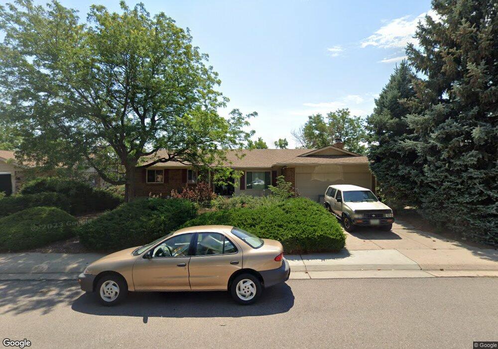
13934 W Atlantic Ave Lakewood, CO 80228
Green Mountain NeighborhoodEstimated Value: $626,000 - $711,000
4
Beds
5
Baths
1,673
Sq Ft
$404/Sq Ft
Est. Value
About This Home
This home is located at 13934 W Atlantic Ave, Lakewood, CO 80228 and is currently estimated at $675,570, approximately $403 per square foot. 13934 W Atlantic Ave is a home located in Jefferson County with nearby schools including Rooney Ranch Elementary School, Dunstan Middle School, and Green Mountain High School.
Ownership History
Date
Name
Owned For
Owner Type
Purchase Details
Closed on
Oct 27, 1993
Sold by
Winburn Byron E and Winburn E
Bought by
Wilson Deborah Anne
Current Estimated Value
Home Financials for this Owner
Home Financials are based on the most recent Mortgage that was taken out on this home.
Original Mortgage
$110,000
Interest Rate
6.96%
Create a Home Valuation Report for This Property
The Home Valuation Report is an in-depth analysis detailing your home's value as well as a comparison with similar homes in the area
Home Values in the Area
Average Home Value in this Area
Purchase History
| Date | Buyer | Sale Price | Title Company |
|---|---|---|---|
| Wilson Deborah Anne | $148,500 | -- |
Source: Public Records
Mortgage History
| Date | Status | Borrower | Loan Amount |
|---|---|---|---|
| Closed | Wilson Deborah Anne | $110,000 |
Source: Public Records
Tax History Compared to Growth
Tax History
| Year | Tax Paid | Tax Assessment Tax Assessment Total Assessment is a certain percentage of the fair market value that is determined by local assessors to be the total taxable value of land and additions on the property. | Land | Improvement |
|---|---|---|---|---|
| 2024 | $3,269 | $42,946 | $15,479 | $27,467 |
| 2023 | $3,269 | $42,946 | $15,479 | $27,467 |
| 2022 | $2,557 | $34,665 | $13,217 | $21,448 |
| 2021 | $2,593 | $35,662 | $13,597 | $22,065 |
| 2020 | $2,367 | $33,286 | $12,297 | $20,989 |
| 2019 | $2,336 | $33,286 | $12,297 | $20,989 |
| 2018 | $2,241 | $31,451 | $7,352 | $24,099 |
| 2017 | $1,970 | $31,451 | $7,352 | $24,099 |
| 2016 | $1,762 | $28,195 | $6,098 | $22,097 |
| 2015 | $2,219 | $28,195 | $6,098 | $22,097 |
| 2014 | $2,219 | $23,353 | $5,578 | $17,775 |
Source: Public Records
Map
Nearby Homes
- 13934 W Warren Dr
- 1697 S Cole St Unit C2
- 1655 S Cole St Unit B1
- 1648 S Cole St Unit B7
- 2175 S Deframe St
- 13804 W Iliff Ave
- 2336 S Eldridge Ct
- 2332 S Fig St
- 13233 W Utah Cir
- 2126 S Juniper St
- 14976 W Warren Ave
- 1882 S Zinnia Way
- 1650 S Deframe St Unit B5
- 2540 S Deframe St
- 13231 W Montana Ave
- 15252 W Warren Dr
- 2663 S Deframe Cir
- 2703 S Cole Ct
- 13195 W Yale Place
- 13126 W Warren Cir
- 13944 W Atlantic Ave
- 13924 W Atlantic Ave
- 2071 S Devinney Ct
- 2061 S Devinney Ct
- 2081 S Devinney Ct
- 2051 S Devinney Ct
- 13954 W Atlantic Ave
- 13935 W Atlantic Ave
- 13925 W Atlantic Ave
- 13945 W Atlantic Ave
- 2091 S Devinney Ct
- 13905 W Atlantic Ave
- 13964 W Atlantic Ave
- 1958 S Devinney St
- 1968 S Devinney St
- 13955 W Atlantic Ave
- 2062 S Devinney Ct
- 13968 W Atlantic Ave
- 2072 S Devinney Ct
- 1978 S Devinney St