14 Anderson Rd E Sherman, CT 06784
Estimated Value: $591,000 - $606,000
3
Beds
2
Baths
2,160
Sq Ft
$276/Sq Ft
Est. Value
About This Home
This home is located at 14 Anderson Rd E, Sherman, CT 06784 and is currently estimated at $596,076, approximately $275 per square foot. 14 Anderson Rd E is a home located in Fairfield County with nearby schools including Sherman School.
Ownership History
Date
Name
Owned For
Owner Type
Purchase Details
Closed on
Nov 1, 1991
Sold by
Smith Terry
Bought by
Lang Richard and Lang Larae
Current Estimated Value
Create a Home Valuation Report for This Property
The Home Valuation Report is an in-depth analysis detailing your home's value as well as a comparison with similar homes in the area
Home Values in the Area
Average Home Value in this Area
Purchase History
| Date | Buyer | Sale Price | Title Company |
|---|---|---|---|
| Lang Richard | $287,500 | -- |
Source: Public Records
Mortgage History
| Date | Status | Borrower | Loan Amount |
|---|---|---|---|
| Open | Lang Richard | $71,500 | |
| Closed | Lang Richard | $110,000 | |
| Open | Lang Richard | $250,000 | |
| Closed | Lang Richard | $80,000 |
Source: Public Records
Tax History Compared to Growth
Tax History
| Year | Tax Paid | Tax Assessment Tax Assessment Total Assessment is a certain percentage of the fair market value that is determined by local assessors to be the total taxable value of land and additions on the property. | Land | Improvement |
|---|---|---|---|---|
| 2025 | $4,503 | $270,100 | $87,200 | $182,900 |
| 2024 | $4,419 | $270,100 | $87,200 | $182,900 |
| 2023 | $4,813 | $270,100 | $87,200 | $182,900 |
| 2022 | $4,910 | $270,100 | $87,200 | $182,900 |
| 2021 | $5,035 | $270,100 | $87,200 | $182,900 |
| 2020 | $5,162 | $270,100 | $87,200 | $182,900 |
| 2019 | $6,139 | $270,100 | $87,200 | $182,900 |
| 2018 | $7,762 | $276,400 | $87,200 | $189,200 |
| 2017 | $5,619 | $276,400 | $87,200 | $189,200 |
| 2016 | $5,618 | $276,360 | $87,150 | $189,210 |
| 2015 | $5,538 | $276,360 | $87,150 | $189,210 |
| 2014 | $5,483 | $276,360 | $87,150 | $189,210 |
Source: Public Records
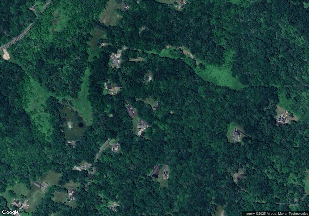
Map
Nearby Homes
- 1 Hoyt Rd
- 1 Cloverleaf Farm S
- 55 Colonial Ridge Dr
- 41 Long River Rd
- 00 Anderson Rd
- 42 Long River Rd
- 73 Long River Rd
- 60 Long River Rd
- 685 Kent Rd
- 16 Gaylord Rd
- 696 Kent Rd
- 49 Quaker Ridge Rd
- 48 Gaylord Rd
- 43 Gaylord Rd
- 88 Gaylord Rd
- 48 Cedar Hill Rd
- 27 Meadowland Dr
- 228 Dog Tail Corners Rd
- 31 Cedar Hill Rd
- 612 Kent Rd
- 12 Anderson Rd E
- 18 Anderson Rd E
- 15 Anderson Rd E
- 10 Anderson Rd E
- 17 Anderson Rd E
- 48 Anderson Rd Unit A
- 24 Anderson Rd E
- 21 Anderson Rd E
- 7 Anderson Rd E
- 5 Anderson Rd E
- 44 Anderson Rd
- 4 Anderson Rd E
- 23 Anderson Rd E
- 3 Anderson Rd E
- 32 Smoke Ridge Dr
- 2 Anderson Rd E
- 34 Smoke Ridge Dr
- 31 Smoke Ridge Dr
- 25 Anderson Rd E
- 6 Hoyt Rd