14 Farmstead Ln Naugatuck, CT 06770
Estimated Value: $577,000 - $696,000
4
Beds
3
Baths
3,296
Sq Ft
$190/Sq Ft
Est. Value
About This Home
This home is located at 14 Farmstead Ln, Naugatuck, CT 06770 and is currently estimated at $625,995, approximately $189 per square foot. 14 Farmstead Ln is a home located in New Haven County with nearby schools including City Hill Middle School and Naugatuck High School.
Ownership History
Date
Name
Owned For
Owner Type
Purchase Details
Closed on
Oct 18, 2004
Sold by
Labbadia Angelo and Labbadia Luella
Bought by
Jarrett-Daley Yvonne and Daley Rupert A
Current Estimated Value
Create a Home Valuation Report for This Property
The Home Valuation Report is an in-depth analysis detailing your home's value as well as a comparison with similar homes in the area
Home Values in the Area
Average Home Value in this Area
Purchase History
| Date | Buyer | Sale Price | Title Company |
|---|---|---|---|
| Jarrett-Daley Yvonne | $415,000 | -- |
Source: Public Records
Mortgage History
| Date | Status | Borrower | Loan Amount |
|---|---|---|---|
| Open | Jarrett-Daley Yvonne | $69,498 | |
| Closed | Jarrett-Daley Yvonne | $25,000 | |
| Open | Jarrett-Daley Yvonne | $344,000 |
Source: Public Records
Tax History Compared to Growth
Tax History
| Year | Tax Paid | Tax Assessment Tax Assessment Total Assessment is a certain percentage of the fair market value that is determined by local assessors to be the total taxable value of land and additions on the property. | Land | Improvement |
|---|---|---|---|---|
| 2025 | $12,551 | $315,420 | $32,200 | $283,220 |
| 2024 | $13,181 | $315,420 | $32,200 | $283,220 |
| 2023 | $14,115 | $315,420 | $32,200 | $283,220 |
| 2022 | $11,561 | $242,110 | $34,640 | $207,470 |
| 2021 | $11,561 | $242,110 | $34,640 | $207,470 |
| 2020 | $11,561 | $242,110 | $34,640 | $207,470 |
| 2019 | $11,440 | $242,110 | $34,640 | $207,470 |
| 2018 | $11,922 | $246,580 | $56,040 | $190,540 |
| 2017 | $11,971 | $246,580 | $56,040 | $190,540 |
| 2016 | $11,754 | $246,580 | $56,040 | $190,540 |
| 2015 | $11,237 | $246,580 | $56,040 | $190,540 |
| 2014 | $11,111 | $246,580 | $56,040 | $190,540 |
| 2012 | $10,648 | $317,370 | $69,470 | $247,900 |
Source: Public Records
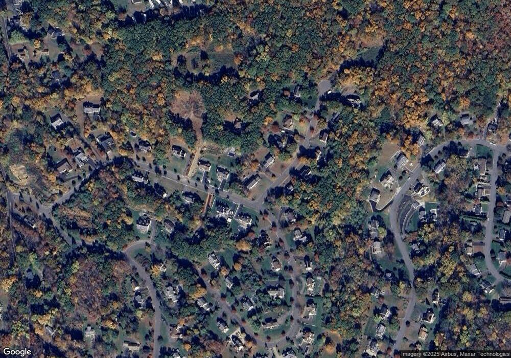
Map
Nearby Homes
- 0 Westover Dr
- 243 Stonefence Rd
- 117 Stonefence Rd
- 0 Evelyn Dr Unit 24124911
- 35 Crofut Rd
- 587 Shadduck Rd
- 75 Allerton Rd
- 739 Field St
- 96 Round Hill Rd
- 31 Pilgrim Ln
- 151 Timothy Rd
- 627 Millville Ave Unit 9-8
- 383 Leonard Rd
- 671 Rubber Ave
- 92 Birch Ln
- 19 Casper Ct
- 28 Tower Ln
- 49 Damson Ln
- 146 Coach Cir Unit 5
- 65 Round Tree Dr Unit 5
- 24 Farmstead Ln
- 143 Graham Ridge Rd
- 19 Farmstead Ln
- 128 Graham Ridge Rd
- 138 Graham Ridge Rd
- 40 Farmstead Ln
- 147 Graham Ridge Rd
- 139 Graham Ridge Rd
- 123 Graham Ridge Rd
- 33 Farmstead Ln
- 118 Graham Ridge Rd
- 0 Farmstead Ln
- 148 Graham Ridge Rd
- 54 Farmstead Ln
- 43 Farmstead Ln
- 144 Graham Ridge Rd
- 157 Graham Ridge Rd
- 101 Graham Ridge Rd
- 60 Farmstead Ln
- 102 Graham Ridge Rd