14 Hannahs Cove Rd Harpswell, ME 04079
Harpswell NeighborhoodEstimated Value: $1,548,000 - $2,707,000
3
Beds
3
Baths
4,119
Sq Ft
$503/Sq Ft
Est. Value
About This Home
This home is located at 14 Hannahs Cove Rd, Harpswell, ME 04079 and is currently estimated at $2,073,816, approximately $503 per square foot. 14 Hannahs Cove Rd is a home with nearby schools including Mt Ararat High School.
Ownership History
Date
Name
Owned For
Owner Type
Purchase Details
Closed on
Jan 26, 2011
Sold by
Thomas J Carlisle Dec T and Carlisle Karen S
Bought by
Thomas J Carlisle Dec T and Carlisle Karen S
Current Estimated Value
Home Financials for this Owner
Home Financials are based on the most recent Mortgage that was taken out on this home.
Original Mortgage
$383,500
Interest Rate
4.83%
Mortgage Type
Purchase Money Mortgage
Create a Home Valuation Report for This Property
The Home Valuation Report is an in-depth analysis detailing your home's value as well as a comparison with similar homes in the area
Home Values in the Area
Average Home Value in this Area
Purchase History
| Date | Buyer | Sale Price | Title Company |
|---|---|---|---|
| Thomas J Carlisle Dec T | -- | -- |
Source: Public Records
Mortgage History
| Date | Status | Borrower | Loan Amount |
|---|---|---|---|
| Closed | Thomas J Carlisle Dec T | $383,500 |
Source: Public Records
Tax History Compared to Growth
Tax History
| Year | Tax Paid | Tax Assessment Tax Assessment Total Assessment is a certain percentage of the fair market value that is determined by local assessors to be the total taxable value of land and additions on the property. | Land | Improvement |
|---|---|---|---|---|
| 2024 | $9,733 | $1,530,300 | $344,800 | $1,185,500 |
| 2023 | $9,335 | $1,530,300 | $344,800 | $1,185,500 |
| 2022 | $9,029 | $1,530,300 | $344,800 | $1,185,500 |
| 2021 | $8,082 | $1,195,600 | $284,800 | $910,800 |
| 2020 | $8,057 | $1,195,400 | $284,800 | $910,600 |
| 2019 | $8,009 | $1,195,400 | $284,800 | $910,600 |
| 2018 | $7,746 | $1,195,400 | $284,800 | $910,600 |
| 2017 | $7,722 | $1,195,400 | $284,800 | $910,600 |
| 2016 | $7,651 | $1,195,400 | $284,800 | $910,600 |
| 2015 | $7,459 | $1,195,400 | $284,800 | $910,600 |
| 2013 | $6,909 | $1,195,400 | $284,800 | $910,600 |
Source: Public Records
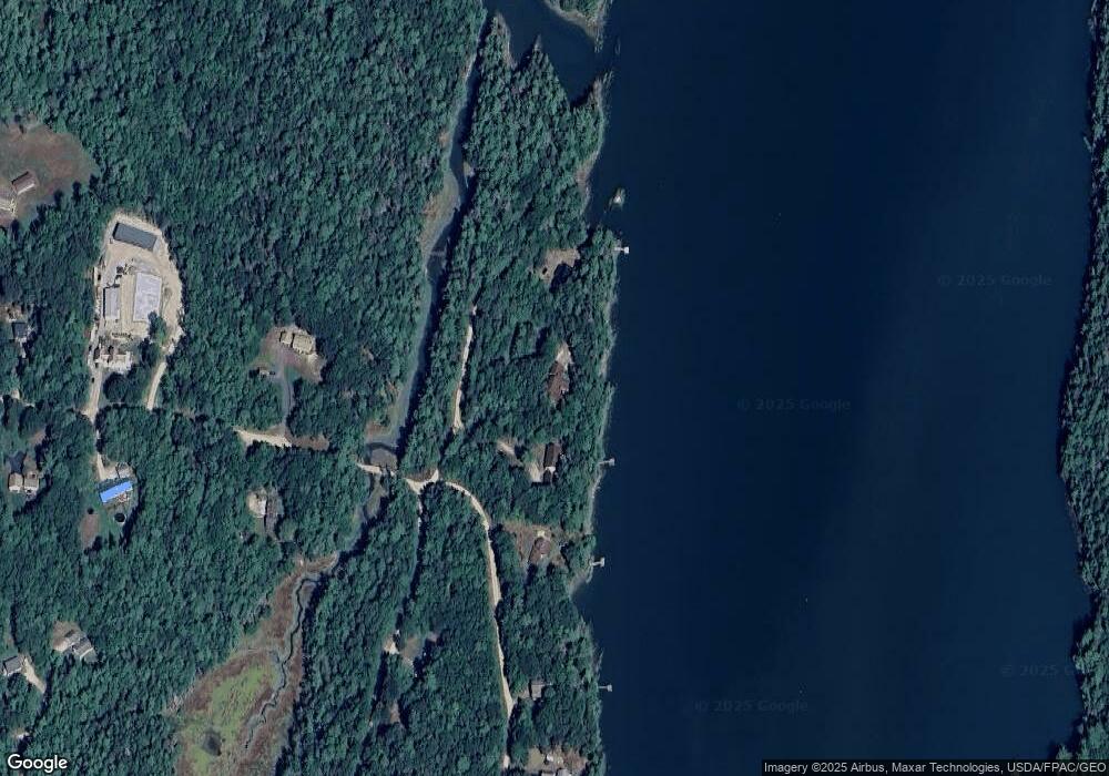
Map
Nearby Homes
- 242 Long Reach Ln
- 37 & 38 S Dyers Cove Rd
- 11 Orion Point Way
- 270 Harpswell Neck Rd
- 136 Bethel Point Rd
- lot C Long Point Rd
- 646 Gurnet Rd
- 29 & 30 Nob Hill Ave
- Map 80 Lot 18-0 White Island
- 943 Cundys Harbor Rd
- 93 Abbot Cove Rd
- Lot 2A Allen Point Rd
- Lot 2B Allen Point Rd
- Lot 129 Harpswell Neck Rd
- 0 Gundalo Gap Rd Unit 1638108
- 853 Mere Point Rd
- 0 Bayview Rd Unit 2 1632776
- 51 & 53 Rock Haven Dr
- 260 Coombs Rd
- 46 Blackstone Club Rd
- 8 Hannahs Cove Rd
- 26 Hannahs Cove Rd
- 0 Creek Way Ext Henry Creek
- 15 Yuhas Dr
- 83 Henry Creek Way
- 23 Yuhas Dr
- 31 Yuhas Dr
- 89 Henry Creek Way
- 29 Henry Creek Way
- 33 Henry Creek Way
- 34 Henry Creek Way
- 0 Henry Creek Way
- 35 Yuhas Dr
- 107 Henry Creek Way
- 23 Henry Creek Way
- 34 Fir Way
- 24 Henry Creek Way
- 292 Doughty Point Rd
- 15 Henry Creek Way