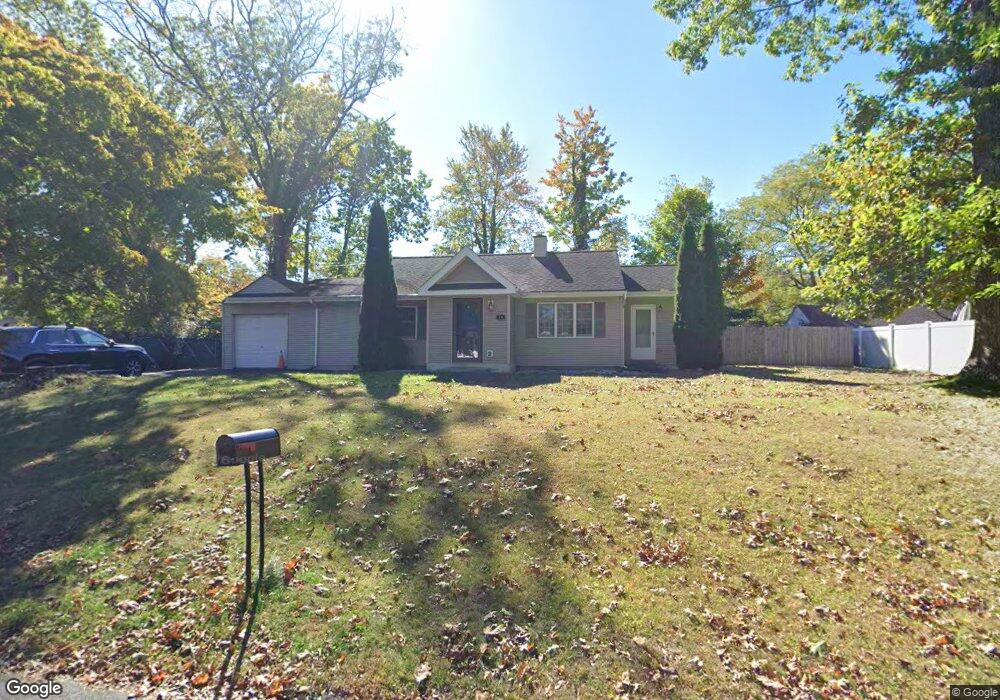
14 Reld Dr Pearl River, NY 10965
Estimated Value: $558,000 - $719,000
2
Beds
1
Bath
1,049
Sq Ft
$625/Sq Ft
Est. Value
About This Home
This home is located at 14 Reld Dr, Pearl River, NY 10965 and is currently estimated at $655,509, approximately $624 per square foot. 14 Reld Dr is a home located in Rockland County with nearby schools including Pearl River High School and St Margaret School.
Ownership History
Date
Name
Owned For
Owner Type
Purchase Details
Closed on
Jan 18, 2022
Sold by
Zadorin Jennifer
Bought by
Stengle Kevin
Current Estimated Value
Purchase Details
Closed on
Apr 19, 2012
Sold by
Stengle Kevin
Bought by
Stengle Kevin and Zadorin Jennifer
Purchase Details
Closed on
Oct 12, 2010
Sold by
Glennon Tracie
Bought by
Stengle Kevin
Home Financials for this Owner
Home Financials are based on the most recent Mortgage that was taken out on this home.
Original Mortgage
$323,600
Interest Rate
4.36%
Mortgage Type
New Conventional
Purchase Details
Closed on
Feb 26, 2009
Sold by
Glennon James and Glennon Tracie
Bought by
Glennon Tracie
Purchase Details
Closed on
Aug 21, 2003
Sold by
Wysokowski Michael and Wysokowski Kate
Bought by
Glennon James and Glennon Tracie
Home Financials for this Owner
Home Financials are based on the most recent Mortgage that was taken out on this home.
Original Mortgage
$255,000
Interest Rate
5.52%
Mortgage Type
Purchase Money Mortgage
Purchase Details
Closed on
Jun 16, 2000
Sold by
Rhodes Merrick A and Rhodes Sheila Osullivan
Bought by
Wysokowski Michael and Wysokowski Kate
Home Financials for this Owner
Home Financials are based on the most recent Mortgage that was taken out on this home.
Original Mortgage
$193,600
Interest Rate
7.09%
Create a Home Valuation Report for This Property
The Home Valuation Report is an in-depth analysis detailing your home's value as well as a comparison with similar homes in the area
Home Values in the Area
Average Home Value in this Area
Purchase History
| Date | Buyer | Sale Price | Title Company |
|---|---|---|---|
| Stengle Kevin | -- | Judicial Title | |
| Stengle Kevin | -- | None Available | |
| Stengle Kevin | $348,000 | None Available | |
| Glennon Tracie | -- | None Available | |
| Glennon James | $335,000 | -- | |
| Wysokowski Michael | $242,000 | Lawyers Title Insurance Corp |
Source: Public Records
Mortgage History
| Date | Status | Borrower | Loan Amount |
|---|---|---|---|
| Previous Owner | Stengle Kevin | $323,600 | |
| Previous Owner | Glennon James | $255,000 | |
| Previous Owner | Wysokowski Michael | $193,600 |
Source: Public Records
Tax History Compared to Growth
Tax History
| Year | Tax Paid | Tax Assessment Tax Assessment Total Assessment is a certain percentage of the fair market value that is determined by local assessors to be the total taxable value of land and additions on the property. | Land | Improvement |
|---|---|---|---|---|
| 2024 | $14,164 | $179,100 | $40,900 | $138,200 |
| 2023 | $14,164 | $179,100 | $40,900 | $138,200 |
| 2022 | $4,480 | $179,100 | $40,900 | $138,200 |
| 2021 | $11,995 | $179,100 | $40,900 | $138,200 |
| 2020 | $11,339 | $179,100 | $40,900 | $138,200 |
| 2019 | $4,162 | $179,100 | $40,900 | $138,200 |
| 2018 | $10,728 | $179,100 | $40,900 | $138,200 |
| 2017 | $10,352 | $179,100 | $40,900 | $138,200 |
| 2016 | $8,231 | $149,600 | $40,900 | $108,700 |
| 2015 | -- | $149,600 | $40,900 | $108,700 |
| 2014 | -- | $149,600 | $40,900 | $108,700 |
Source: Public Records
Map
Nearby Homes
- 14 Staubitz Ave
- 4 Brown Dr
- 87 Pinto Rd
- 250 Blauvelt Rd
- 352 Holt Dr
- 110 Orchid Dr
- 46 Cara Dr
- 165 Forest Ave
- 5 Hillaire Place
- 221 N Middletown Rd Unit F
- 854 E Crooked Hill Rd Unit 854
- 452 Somerset Dr Unit F
- 432 Somerset Dr Unit M
- 359 Orangeburg Rd
- 73 Bogert Ave
- 86 Braunsdorf Rd
- 4 Sunrise Ln
- 99 E Washington Ave
- 26 E George Ave
- 12 E Nauraushaun Ave