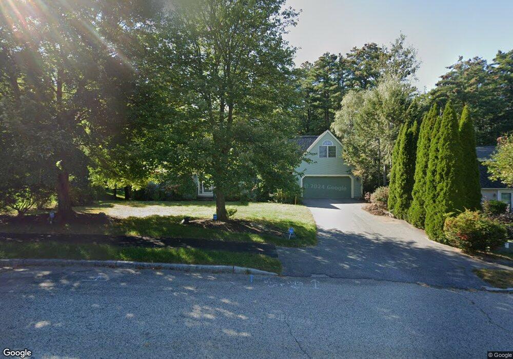
14 Spar Ln Portland, ME 04102
Stroudwater NeighborhoodEstimated Value: $615,000 - $725,000
3
Beds
3
Baths
2,027
Sq Ft
$334/Sq Ft
Est. Value
About This Home
This home is located at 14 Spar Ln, Portland, ME 04102 and is currently estimated at $677,199, approximately $334 per square foot. 14 Spar Ln is a home located in Cumberland County with nearby schools including Amanda C Rowe School, King Middle School, and Levey Day School.
Ownership History
Date
Name
Owned For
Owner Type
Purchase Details
Closed on
Oct 23, 2023
Sold by
Morrill Faith H
Bought by
Poulin Kenneth D
Current Estimated Value
Home Financials for this Owner
Home Financials are based on the most recent Mortgage that was taken out on this home.
Original Mortgage
$165,000
Outstanding Balance
$161,000
Interest Rate
5.99%
Mortgage Type
Purchase Money Mortgage
Estimated Equity
$516,199
Purchase Details
Closed on
Jan 31, 2012
Sold by
Poulin Faith H and Poulin Kenneth D
Bought by
Poulin Kenneth D and Poulin Faith H
Home Financials for this Owner
Home Financials are based on the most recent Mortgage that was taken out on this home.
Original Mortgage
$95,000
Interest Rate
3.94%
Mortgage Type
New Conventional
Create a Home Valuation Report for This Property
The Home Valuation Report is an in-depth analysis detailing your home's value as well as a comparison with similar homes in the area
Home Values in the Area
Average Home Value in this Area
Purchase History
| Date | Buyer | Sale Price | Title Company |
|---|---|---|---|
| Poulin Kenneth D | -- | None Available | |
| Poulin Kenneth D | -- | -- |
Source: Public Records
Mortgage History
| Date | Status | Borrower | Loan Amount |
|---|---|---|---|
| Open | Poulin Kenneth D | $165,000 | |
| Previous Owner | Poulin Kenneth D | $95,000 |
Source: Public Records
Tax History Compared to Growth
Tax History
| Year | Tax Paid | Tax Assessment Tax Assessment Total Assessment is a certain percentage of the fair market value that is determined by local assessors to be the total taxable value of land and additions on the property. | Land | Improvement |
|---|---|---|---|---|
| 2024 | $6,622 | $441,200 | $84,000 | $357,200 |
| 2023 | $6,358 | $441,200 | $84,000 | $357,200 |
| 2022 | $6,005 | $441,200 | $84,000 | $357,200 |
| 2021 | $5,731 | $441,200 | $84,000 | $357,200 |
| 2020 | $6,986 | $299,700 | $78,700 | $221,000 |
| 2019 | $6,986 | $299,700 | $78,700 | $221,000 |
| 2018 | $6,737 | $299,700 | $78,700 | $221,000 |
| 2017 | $6,489 | $299,700 | $78,700 | $221,000 |
| 2016 | $6,327 | $299,700 | $78,700 | $221,000 |
| 2015 | $6,183 | $299,700 | $78,700 | $221,000 |
| 2014 | $5,994 | $299,700 | $78,700 | $221,000 |
Source: Public Records
Map
Nearby Homes
- 1549 Westbrook St
- 16 Black Sparrow Dr
- 1346 Westbrook St
- 2 Firefly St Unit 303
- 155 Owls Nest Rd
- 149 Owls Nest Rd
- 1 Firefly St Unit 402
- 1 Firefly St Unit 201
- 1 Firefly St Unit 303
- 1 Firefly St Unit 302
- 1 Firefly St Unit 403/103
- 1 Firefly St Unit 301
- 1 Firefly St Unit 401
- 1 Firefly St Unit 403
- 1 Firefly St Unit 202
- 99 Webb St
- 63A Capisic St
- 0 Hillcrest Ave
- 89 Cobb Ave
- 159 Bancroft St