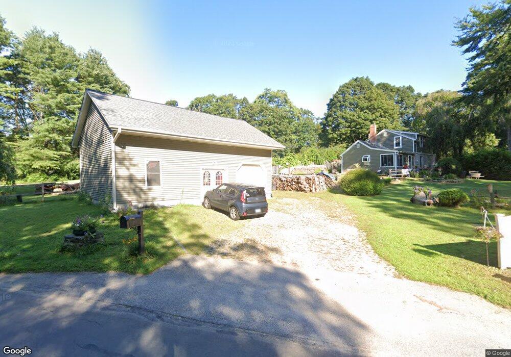
140 Tripp Rd Woodstock, CT 06281
Estimated Value: $336,058 - $373,000
2
Beds
2
Baths
1,274
Sq Ft
$274/Sq Ft
Est. Value
About This Home
This home is located at 140 Tripp Rd, Woodstock, CT 06281 and is currently estimated at $348,765, approximately $273 per square foot. 140 Tripp Rd is a home located in Windham County with nearby schools including Woodstock Elementary School, Woodstock Middle School, and Rectory School.
Ownership History
Date
Name
Owned For
Owner Type
Purchase Details
Closed on
Jun 17, 1997
Sold by
Stevenson Gerald and Stevenson Ruth H
Bought by
Chattelle Michael L and Chattelle Rosemary
Current Estimated Value
Home Financials for this Owner
Home Financials are based on the most recent Mortgage that was taken out on this home.
Original Mortgage
$102,750
Interest Rate
8.5%
Mortgage Type
Purchase Money Mortgage
Create a Home Valuation Report for This Property
The Home Valuation Report is an in-depth analysis detailing your home's value as well as a comparison with similar homes in the area
Home Values in the Area
Average Home Value in this Area
Purchase History
| Date | Buyer | Sale Price | Title Company |
|---|---|---|---|
| Chattelle Michael L | $114,750 | -- |
Source: Public Records
Mortgage History
| Date | Status | Borrower | Loan Amount |
|---|---|---|---|
| Open | Chattelle Michael L | $143,000 | |
| Closed | Chattelle Michael L | $102,750 | |
| Previous Owner | Chattelle Michael L | $90,000 | |
| Previous Owner | Chattelle Michael L | $25,000 |
Source: Public Records
Tax History Compared to Growth
Tax History
| Year | Tax Paid | Tax Assessment Tax Assessment Total Assessment is a certain percentage of the fair market value that is determined by local assessors to be the total taxable value of land and additions on the property. | Land | Improvement |
|---|---|---|---|---|
| 2025 | $3,713 | $152,100 | $25,200 | $126,900 |
| 2024 | $3,504 | $152,100 | $25,200 | $126,900 |
| 2023 | $3,409 | $152,100 | $25,200 | $126,900 |
| 2022 | $3,171 | $152,100 | $25,200 | $126,900 |
| 2021 | $3,320 | $130,200 | $28,000 | $102,200 |
| 2020 | $2,830 | $115,500 | $29,400 | $86,100 |
| 2019 | $2,830 | $115,500 | $29,400 | $86,100 |
| 2018 | $2,830 | $115,500 | $29,400 | $86,100 |
| 2017 | $2,807 | $115,500 | $29,400 | $86,100 |
| 2016 | $2,606 | $108,400 | $32,500 | $75,900 |
| 2015 | $2,532 | $108,400 | $32,500 | $75,900 |
| 2014 | $2,504 | $108,400 | $32,500 | $75,900 |
Source: Public Records
Map
Nearby Homes
- 130 Tripp Rd
- 20 Harrissville Rd
- 6 Harrisville Rd
- 5 Woodstock Hills Dr
- 257 Sabin St Unit 23
- 172 Peake Brook Rd
- 117 Woodside St
- 109 Battey St
- 15 Maynard St
- 50 Richmond Rd Unit 19
- 252 Church St
- 171 Providence St
- 12 Battey St
- 53 Cleveland St
- 171 David Cir
- 24 David Cir
- 224 Pomfret St
- 0 Church St
- 219 Pomfret St
- 16 Wilkinson St
- 217 Harrisville Rd
- 139 Tripp Rd
- 211 Harrisville Rd
- 230 Harrisville Rd
- 6 Grey Fox Landing
- 124 Tripp Rd
- 238 Harrisville Rd
- 220 Harrisville Rd
- 120 Tripp Rd
- 205 Harrisville Rd
- 11 Tattoon Rd
- 12 Grey Fox Landing
- 212 Harrisville Rd
- 117 Tripp Rd
- 17 Tattoon Rd
- 240 Harrisville Rd
- 242 Harrisville Rd
- 199 Harrisville Rd
- 5 Dukeland Dr
- 9 Dukeland Dr