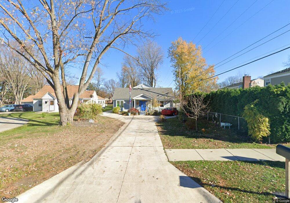
14006 Brookfield St Livonia, MI 48154
Estimated Value: $301,000 - $417,000
4
Beds
3
Baths
1,994
Sq Ft
$190/Sq Ft
Est. Value
About This Home
This home is located at 14006 Brookfield St, Livonia, MI 48154 and is currently estimated at $379,717, approximately $190 per square foot. 14006 Brookfield St is a home located in Wayne County with nearby schools including Kennedy Elementary School, Johnson Upper Elementary School, and Frost Middle School.
Ownership History
Date
Name
Owned For
Owner Type
Purchase Details
Closed on
Apr 27, 2006
Sold by
Hadley Robert and Hadley Gail Elizabeth
Bought by
Mortgage Electronic Registration Systems and Accredited Home Lenders Inc
Current Estimated Value
Purchase Details
Closed on
Aug 28, 2003
Sold by
Barber John Raymond and Barber Carol Xenia
Bought by
Hadley Robert
Purchase Details
Closed on
Jun 17, 2003
Sold by
Lewalter Robert William and Lewalter Kathleen Beatrice
Bought by
Barber John Raymond
Create a Home Valuation Report for This Property
The Home Valuation Report is an in-depth analysis detailing your home's value as well as a comparison with similar homes in the area
Home Values in the Area
Average Home Value in this Area
Purchase History
| Date | Buyer | Sale Price | Title Company |
|---|---|---|---|
| Mortgage Electronic Registration Systems | $145,217 | None Available | |
| Hadley Robert | $150,000 | -- | |
| Barber John Raymond | $25,000 | Transnation Title |
Source: Public Records
Tax History Compared to Growth
Tax History
| Year | Tax Paid | Tax Assessment Tax Assessment Total Assessment is a certain percentage of the fair market value that is determined by local assessors to be the total taxable value of land and additions on the property. | Land | Improvement |
|---|---|---|---|---|
| 2025 | $2,929 | $197,000 | $0 | $0 |
| 2024 | $2,929 | $188,600 | $0 | $0 |
| 2023 | $2,794 | $167,900 | $0 | $0 |
| 2022 | $4,907 | $154,300 | $0 | $0 |
| 2021 | $4,766 | $152,000 | $0 | $0 |
| 2019 | $4,572 | $131,200 | $0 | $0 |
| 2018 | $2,327 | $120,100 | $0 | $0 |
| 2017 | $4,118 | $112,400 | $0 | $0 |
| 2016 | $2,635 | $107,600 | $0 | $0 |
| 2015 | $3,595 | $39,530 | $0 | $0 |
| 2012 | -- | $46,820 | $19,500 | $27,320 |
Source: Public Records
Map
Nearby Homes
- 14214 Cranston St
- 32950 Perth St
- 33025 Martin St
- 33040 Allen St
- 32136 Lyndon St
- 14327 Arden St
- 14563 Melrose St
- 14677 Auburndale St
- 14879 Fairfield St
- 14164 Bainbridge St
- 15075 Hubbard St Unit 5
- 14154 Hubbell St
- 31126 Grennada St
- 31221 Lyndon St
- 14292 Hubbell St
- 15040 Berwick St
- 32651 5 Mile Rd Unit 15
- 11704 Farmington Rd Unit 15
- 14127 Hillcrest St
- 30831 Lyndon St
- 32508 Scone St
- 14020 Brookfield St
- 32530 Scone St
- 32486 Scone St
- 32464 Scone St
- 32652 Scone St
- 14040 Brookfield St
- 32509 Scone St
- 32531 Scone St
- 32487 Scone St
- 32442 Scone St
- 14011 Brookfield St
- 32664 Scone St
- 32465 Scone St
- 32653 Scone St
- 32420 Scone St
- 32443 Scone St
- 14049 Brookfield St
- 32676 Scone St
- 32665 Scone St