1401 Woodsong Dr Hendersonville, NC 28791
Estimated Value: $624,201 - $768,000
2
Beds
3
Baths
2,256
Sq Ft
$314/Sq Ft
Est. Value
About This Home
This home is located at 1401 Woodsong Dr, Hendersonville, NC 28791 and is currently estimated at $707,300, approximately $313 per square foot. 1401 Woodsong Dr is a home located in Henderson County with nearby schools including Bruce Drysdale Elementary School, Hendersonville Middle School, and Hendersonville High School.
Ownership History
Date
Name
Owned For
Owner Type
Purchase Details
Closed on
Apr 19, 2005
Sold by
Not Provided
Bought by
Boyle Michael J and Boyle Joanne E
Current Estimated Value
Home Financials for this Owner
Home Financials are based on the most recent Mortgage that was taken out on this home.
Original Mortgage
$200,000
Outstanding Balance
$102,940
Interest Rate
5.74%
Mortgage Type
Purchase Money Mortgage
Estimated Equity
$604,360
Create a Home Valuation Report for This Property
The Home Valuation Report is an in-depth analysis detailing your home's value as well as a comparison with similar homes in the area
Home Values in the Area
Average Home Value in this Area
Purchase History
| Date | Buyer | Sale Price | Title Company |
|---|---|---|---|
| Boyle Michael J | $421,800 | -- |
Source: Public Records
Mortgage History
| Date | Status | Borrower | Loan Amount |
|---|---|---|---|
| Open | Boyle Michael J | $200,000 |
Source: Public Records
Tax History Compared to Growth
Tax History
| Year | Tax Paid | Tax Assessment Tax Assessment Total Assessment is a certain percentage of the fair market value that is determined by local assessors to be the total taxable value of land and additions on the property. | Land | Improvement |
|---|---|---|---|---|
| 2025 | $3,048 | $558,300 | $150,000 | $408,300 |
| 2024 | $3,048 | $558,300 | $150,000 | $408,300 |
| 2023 | $3,048 | $584,300 | $125,000 | $459,300 |
| 2022 | $2,943 | $432,200 | $112,500 | $319,700 |
| 2021 | $2,943 | $432,200 | $112,500 | $319,700 |
| 2020 | $2,943 | $432,200 | $0 | $0 |
| 2019 | $2,943 | $432,200 | $0 | $0 |
| 2018 | $2,660 | $388,300 | $0 | $0 |
| 2017 | $2,660 | $388,300 | $0 | $0 |
| 2016 | $2,660 | $388,300 | $0 | $0 |
| 2015 | -- | $388,300 | $0 | $0 |
| 2014 | -- | $373,300 | $0 | $0 |
Source: Public Records
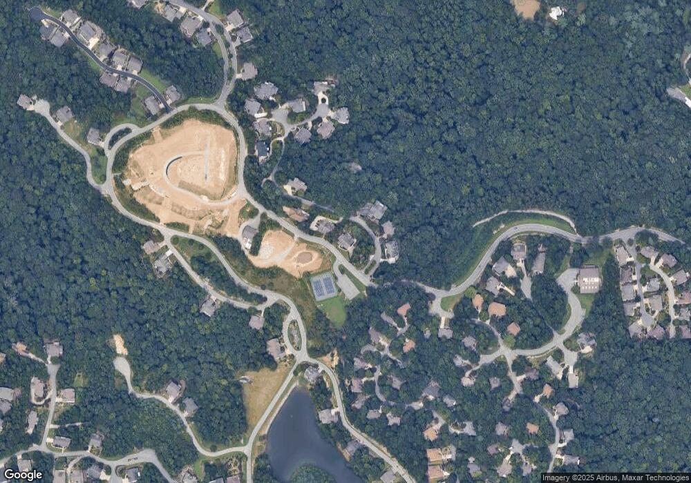
Map
Nearby Homes
- 63 Club Knoll Ct
- 24 S Watchman Dr Unit 10 & 11
- 24 S Watchman Dr
- 82 Narrows Run Loop
- 5 Governors Dr
- 54 Narrows Run Loop Unit 4
- 329 Carriage Crest Dr
- 1736 Wood Owl Ct Unit 36R
- 54 Deep Valley Ln
- 1509 Summit Hill Rd
- 281 Carriage Crest Dr
- 131 Jenny Lind Dr
- 99999 Bay Laurel Ln Unit 1905
- 99999 Bay Laurel Ln
- 195 Carriage Crest Dr
- 17 High Park Ct
- 101 Wood Owl Ct
- 222 Bay Laurel Ln
- 99999 Millbrae Loop
- 99999 Millbrae Loop Unit 1601
- 1403 Woodsong Dr
- 1406 Woodsong Dr
- 1402 Woodsong Dr
- 1404 Woodsong Dr
- 1405 Woodsong Dr
- 1412 Woodsong Dr
- 100 Jenny Lind Dr
- 102 Jenny Lind Dr
- 104 Jenny Lind Dr
- 2101 Narrows Run Loop Unit 1
- LOT 1919 Barnsdale Ln Unit 1919
- LOT 1 Narrows Run Loop
- 26 Carriage Forest Ct
- 1416 Woodsong Dr
- 106 Jenny Lind Dr
- 124 Barnsdale Ln
- LOT 6 Narrows at Bowing Lake Unit 6
- LOT 8 Narrows at Bowing Lake Unit 8
- LOT 8 the Narrows at Bowing Lake Unit 8
- 9 Narrows Run Loop Unit 9