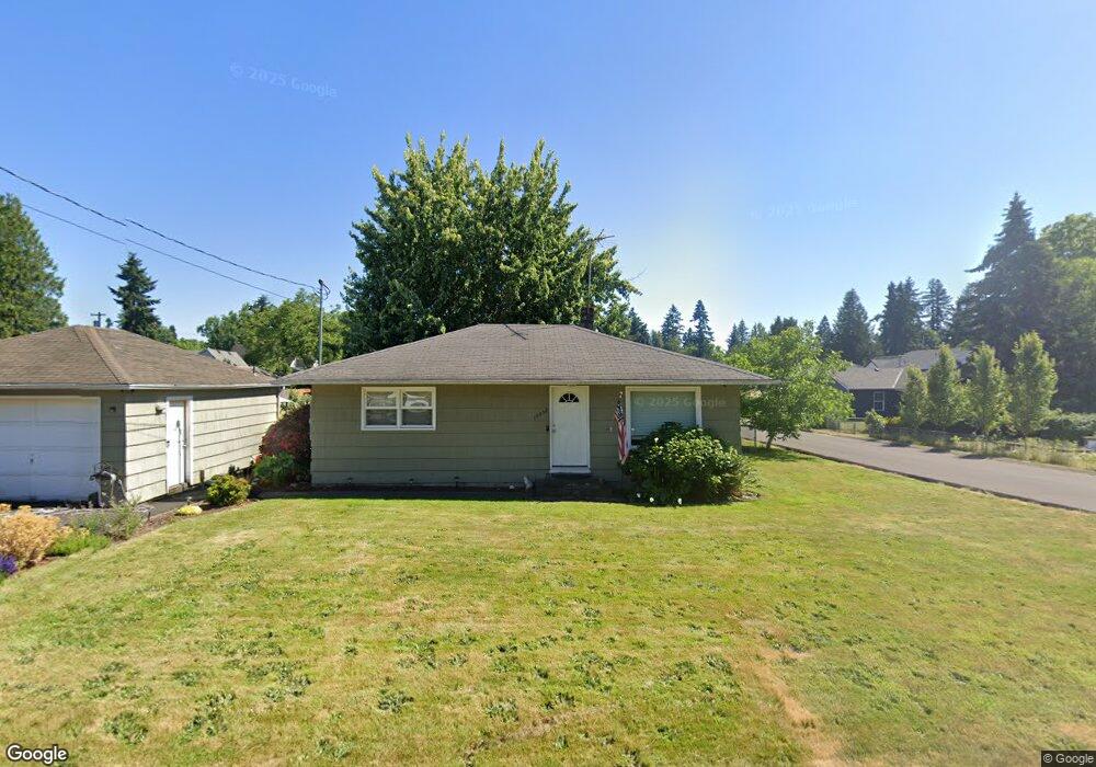
14052 Rock St Oregon City, OR 97045
Park Place NeighborhoodEstimated Value: $354,000 - $408,000
3
Beds
1
Bath
936
Sq Ft
$404/Sq Ft
Est. Value
About This Home
This home is located at 14052 Rock St, Oregon City, OR 97045 and is currently estimated at $378,593, approximately $404 per square foot. 14052 Rock St is a home located in Clackamas County with nearby schools including Holcomb Elementary School, Tumwata Middle School, and Oregon City Senior High School.
Ownership History
Date
Name
Owned For
Owner Type
Purchase Details
Closed on
Apr 21, 2015
Sold by
Kelso Rebecca J and Kelso Jerry A
Bought by
Schwahn Anthony D
Current Estimated Value
Home Financials for this Owner
Home Financials are based on the most recent Mortgage that was taken out on this home.
Original Mortgage
$182,609
Outstanding Balance
$140,477
Interest Rate
3.8%
Mortgage Type
FHA
Estimated Equity
$238,116
Purchase Details
Closed on
Nov 9, 2010
Sold by
Kelso Rebecca J
Bought by
Kelso Rebecca J and Kelso Jerry A
Create a Home Valuation Report for This Property
The Home Valuation Report is an in-depth analysis detailing your home's value as well as a comparison with similar homes in the area
Home Values in the Area
Average Home Value in this Area
Purchase History
| Date | Buyer | Sale Price | Title Company |
|---|---|---|---|
| Schwahn Anthony D | $185,979 | Wfg Title | |
| Kelso Rebecca J | -- | None Available |
Source: Public Records
Mortgage History
| Date | Status | Borrower | Loan Amount |
|---|---|---|---|
| Open | Schwahn Anthony D | $182,609 |
Source: Public Records
Tax History Compared to Growth
Tax History
| Year | Tax Paid | Tax Assessment Tax Assessment Total Assessment is a certain percentage of the fair market value that is determined by local assessors to be the total taxable value of land and additions on the property. | Land | Improvement |
|---|---|---|---|---|
| 2025 | $2,419 | $120,761 | -- | -- |
| 2024 | $2,195 | $117,244 | -- | -- |
| 2023 | $2,195 | $113,830 | $0 | $0 |
| 2022 | $2,019 | $110,515 | $0 | $0 |
| 2021 | $1,938 | $107,297 | $0 | $0 |
| 2020 | $1,883 | $104,172 | $0 | $0 |
| 2019 | $1,843 | $101,138 | $0 | $0 |
| 2018 | $1,751 | $98,192 | $0 | $0 |
| 2017 | $1,706 | $95,332 | $0 | $0 |
| 2016 | $2,063 | $114,010 | $0 | $0 |
| 2015 | $2,011 | $110,689 | $0 | $0 |
| 2014 | $1,954 | $107,465 | $0 | $0 |
Source: Public Records
Map
Nearby Homes
- 14114 Rock St
- 16294 Hunter Ave
- 14045 S Livesay Rd
- 16082 Barlow Trail Ln
- 16172 Serres Farms Rd
- 13768 John Jeffrey Ct
- 16103 Serres Farms Way
- 15728 Godon Way
- 16153 Barlow Trail Ln
- 15752 Godon Way
- 15985 Barlow Train Ln
- 16079 Serres Farms Rd
- 16514 Oaktree Terrace
- 16108 Serres Farms Rd
- 15760 Godon Way
- 14000 Forsythe Rd Unit 1
- 15935 Apperson Blvd
- 14551 Pittock Place
- 16644 Livesay Rd
- 16180 Serres Farms Rd
- 16470 Frederick St
- 16457 Hiram Ave
- 16441 Hiram Ave
- 16463 Frederick St
- 16480 Frederick St
- 16465 Hiram Ave
- 14051 Rock St
- 16427 Hiram Ave
- 16475 Frederick St
- 16490 Frederick St
- 16440 Front Ave
- 16487 Frederick St
- 16417 Hiram Ave
- 16491 Hiram Ave
- 16454 Hiram Ave
- 16440 Front St
- 16401 Hiram Ave
- 16401 S Hiram Ave
- 16444 Hiram Ave
- 16430 Hiram Ave