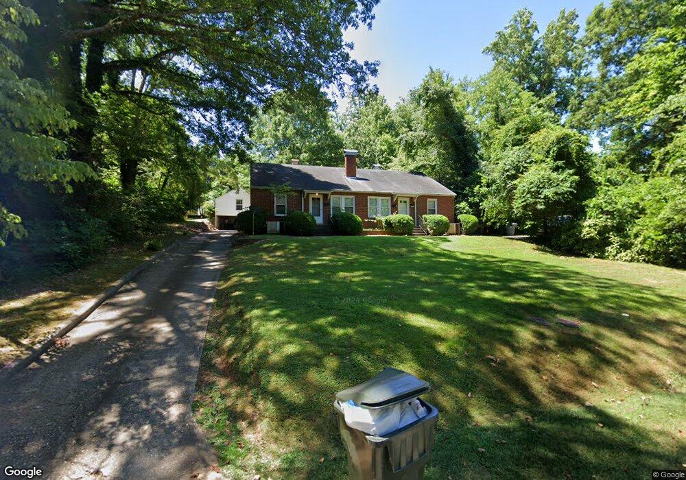
1409 Westwood Dr Asheboro, NC 27205
Estimated Value: $163,000 - $205,000
--
Bed
2
Baths
1,816
Sq Ft
$105/Sq Ft
Est. Value
About This Home
This home is located at 1409 Westwood Dr, Asheboro, NC 27205 and is currently estimated at $190,122, approximately $104 per square foot. 1409 Westwood Dr is a home located in Randolph County with nearby schools including Donna L. Loflin Elementary School, North Asheboro Middle School, and Asheboro High School.
Ownership History
Date
Name
Owned For
Owner Type
Purchase Details
Closed on
May 24, 2011
Sold by
Morgan Maxton Lloyd
Bought by
Davidson Mark E and Davidson Krista Cox
Current Estimated Value
Home Financials for this Owner
Home Financials are based on the most recent Mortgage that was taken out on this home.
Original Mortgage
$77,250
Outstanding Balance
$53,420
Interest Rate
4.85%
Mortgage Type
Future Advance Clause Open End Mortgage
Estimated Equity
$136,702
Create a Home Valuation Report for This Property
The Home Valuation Report is an in-depth analysis detailing your home's value as well as a comparison with similar homes in the area
Home Values in the Area
Average Home Value in this Area
Purchase History
| Date | Buyer | Sale Price | Title Company |
|---|---|---|---|
| Davidson Mark E | $80,000 | None Available |
Source: Public Records
Mortgage History
| Date | Status | Borrower | Loan Amount |
|---|---|---|---|
| Open | Davidson Mark E | $77,250 |
Source: Public Records
Tax History Compared to Growth
Tax History
| Year | Tax Paid | Tax Assessment Tax Assessment Total Assessment is a certain percentage of the fair market value that is determined by local assessors to be the total taxable value of land and additions on the property. | Land | Improvement |
|---|---|---|---|---|
| 2025 | $2,140 | $130,850 | $26,070 | $104,780 |
| 2024 | $2,140 | $130,850 | $26,070 | $104,780 |
| 2023 | $2,140 | $130,850 | $26,070 | $104,780 |
| 2022 | $1,382 | $95,850 | $26,070 | $69,780 |
| 2021 | $1,382 | $95,850 | $26,070 | $69,780 |
| 2020 | $1,382 | $95,850 | $26,070 | $69,780 |
| 2019 | $12,722 | $95,850 | $26,070 | $69,780 |
| 2018 | $1,432 | $97,580 | $32,700 | $64,880 |
| 2016 | $1,432 | $97,583 | $32,700 | $64,883 |
| 2015 | $1,434 | $97,583 | $32,700 | $64,883 |
| 2014 | -- | $97,583 | $32,700 | $64,883 |
Source: Public Records
Map
Nearby Homes
- 1263 Winslow Ave Unit A, B & C
- 135 West St
- 923 Arnold St
- 627 Oakmont Dr
- 830 Sunset Ave
- 711 Sunset Ave Unit E
- 435 Peachtree St
- 866 Mountain Rd
- 612 Sunset Ave Unit 6
- 401 Uwharrie St
- 516 and 518 Peachtree St
- 1110 Park Dr
- 135 Dixon St
- 1582 Westmont Dr
- 617 Uwharrie St Unit N
- 1011 Westmont Dr
- 0 Highwood Dr
- TBD Oakland Ave
- 631 W Kivett St
- 0000 Little Gate Dr
- 222 Bossong Dr
- 212 Bossong Dr
- 1414 Sunset Dr
- 1407 Westwood Dr
- 1408 Sunset Dr
- 1402 Sunset Dr
- 1406 Westwood Dr
- 202 Bossong Dr
- 1414 Westwood Dr
- 1315 Westwood Dr
- 1318 Sunset Dr
- 1424 Westwood Dr
- 219 Bossong Dr
- 213 Bossong Dr
- 1308 Sunset Dr
- 227 Bossong Dr
- 1413 Sunset Dr
- 1419 Sunset Dr
- 207 Bossong Dr
- 1303 Westwood Dr