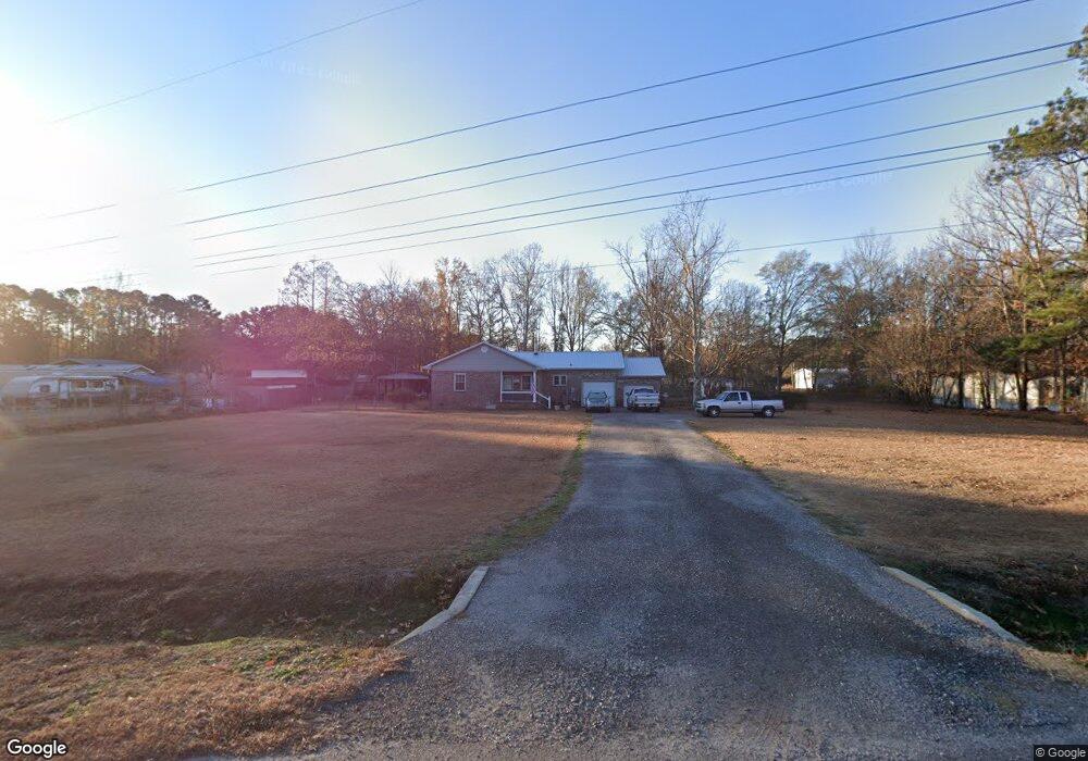
141 Rambo Dr Summerville, SC 29483
Estimated Value: $186,000 - $352,000
3
Beds
1
Bath
1,721
Sq Ft
$167/Sq Ft
Est. Value
About This Home
This home is located at 141 Rambo Dr, Summerville, SC 29483 and is currently estimated at $287,000, approximately $166 per square foot. 141 Rambo Dr is a home located in Dorchester County with nearby schools including Alston-Bailey Elementary, Alston Middle School, and Summerville High School.
Ownership History
Date
Name
Owned For
Owner Type
Purchase Details
Closed on
Mar 6, 2014
Sold by
Hix Kenneht O and Hix Marilyn A
Bought by
Faircloth Johnny G
Current Estimated Value
Purchase Details
Closed on
May 21, 2011
Sold by
Hix Kenneth O and Hix Marilyn A
Bought by
Hix Kenneth O and Hix Marilyn A
Home Financials for this Owner
Home Financials are based on the most recent Mortgage that was taken out on this home.
Original Mortgage
$146,686
Interest Rate
4.53%
Mortgage Type
VA
Create a Home Valuation Report for This Property
The Home Valuation Report is an in-depth analysis detailing your home's value as well as a comparison with similar homes in the area
Home Values in the Area
Average Home Value in this Area
Purchase History
| Date | Buyer | Sale Price | Title Company |
|---|---|---|---|
| Faircloth Johnny G | $15,000 | -- | |
| Hix Kenneth O | -- | -- |
Source: Public Records
Mortgage History
| Date | Status | Borrower | Loan Amount |
|---|---|---|---|
| Previous Owner | Hix Kenneth O | $146,686 |
Source: Public Records
Tax History Compared to Growth
Tax History
| Year | Tax Paid | Tax Assessment Tax Assessment Total Assessment is a certain percentage of the fair market value that is determined by local assessors to be the total taxable value of land and additions on the property. | Land | Improvement |
|---|---|---|---|---|
| 2025 | $923 | $14,048 | $4,960 | $9,088 |
| 2024 | $923 | $14,048 | $4,960 | $9,088 |
| 2023 | $923 | $5,826 | $2,000 | $3,826 |
| 2022 | $789 | $5,830 | $2,000 | $3,830 |
| 2021 | $789 | $5,830 | $2,000 | $3,830 |
| 2020 | $716 | $5,630 | $1,800 | $3,830 |
| 2019 | $695 | $5,630 | $1,800 | $3,830 |
| 2018 | $664 | $5,630 | $1,800 | $3,830 |
| 2017 | $660 | $5,630 | $1,800 | $3,830 |
| 2016 | $651 | $5,630 | $1,800 | $3,830 |
| 2015 | $648 | $5,630 | $1,800 | $3,830 |
| 2014 | $601 | $135,470 | $0 | $0 |
| 2013 | -- | $5,420 | $0 | $0 |
Source: Public Records
Map
Nearby Homes
- 211 W Steele Dr
- 0 Clemson Dr Unit 12&12a 25021620
- 188 Glen St
- 250 W Medina St
- 727 Hodge Rd
- 107 Mcclellan Way
- 316 Green Fern Dr
- 459 Green Fern Dr
- 132 Mcclellan Way
- 334 Glen St
- 238 W Turner St
- 0 Lawrence Dr Unit 22014221
- 0 Lawrence Dr Unit 151537
- 0 Countryside Way Unit 25025688
- 202 Countryside Way
- 127 MacAllan Ct
- 416 Aberdeen Cir
- 160 Fern Bridge Dr
- 152 Fern Bridge Dr
- 156 Fern Bridge Dr
- 146 Rambo Dr
- 142 W Steele Dr
- 150 Rambo Dr
- 140 Rambo Dr
- 133 Rambo Dr
- 133 Rambo Dr
- 170 W Steele Dr
- 136 W Steele Dr
- 154 Rambo Dr
- 0 Circle Dr Unit 2633883
- 0 Circle Dr Unit 2603832
- 0 Circle Dr Unit 9910530
- 0 Circle Dr Unit 2015238
- 0 W Circle Dr
- 0 Circle Dr Unit 1010172
- 0 Circle Dr Unit 1127899
- 185 Medina St
- 185 W Medina St
- 181 W Medina St
- 181 Medina St