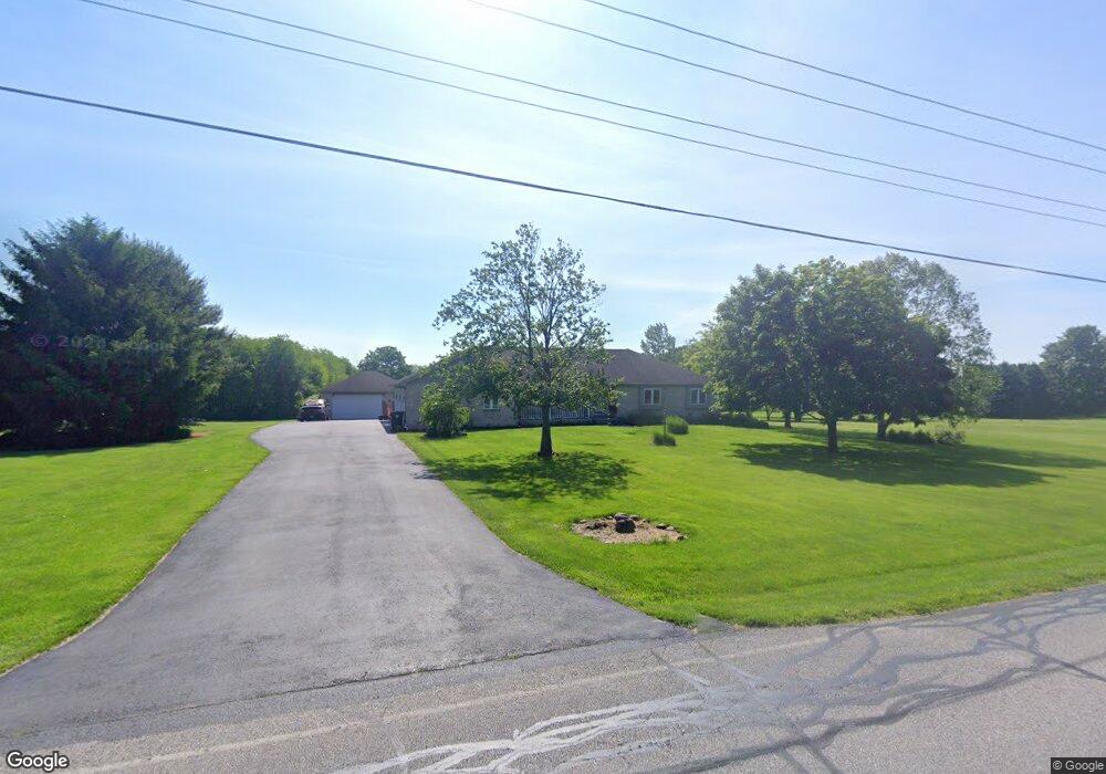
141 Smoke Rd Valparaiso, IN 46385
Porter County NeighborhoodEstimated Value: $450,000 - $543,113
4
Beds
4
Baths
1,946
Sq Ft
$248/Sq Ft
Est. Value
About This Home
This home is located at 141 Smoke Rd, Valparaiso, IN 46385 and is currently estimated at $483,028, approximately $248 per square foot. 141 Smoke Rd is a home located in Porter County with nearby schools including Morgan Township Elementary School and Morgan Township Middle/High School.
Ownership History
Date
Name
Owned For
Owner Type
Purchase Details
Closed on
Jan 4, 2023
Sold by
Chermak Sandra M
Bought by
Chermak David B
Current Estimated Value
Home Financials for this Owner
Home Financials are based on the most recent Mortgage that was taken out on this home.
Original Mortgage
$237,902
Outstanding Balance
$117,221
Interest Rate
4.19%
Mortgage Type
New Conventional
Estimated Equity
$365,807
Create a Home Valuation Report for This Property
The Home Valuation Report is an in-depth analysis detailing your home's value as well as a comparison with similar homes in the area
Home Values in the Area
Average Home Value in this Area
Purchase History
| Date | Buyer | Sale Price | Title Company |
|---|---|---|---|
| Chermak David B | -- | -- |
Source: Public Records
Mortgage History
| Date | Status | Borrower | Loan Amount |
|---|---|---|---|
| Open | Chermak David B | $237,902 |
Source: Public Records
Tax History Compared to Growth
Tax History
| Year | Tax Paid | Tax Assessment Tax Assessment Total Assessment is a certain percentage of the fair market value that is determined by local assessors to be the total taxable value of land and additions on the property. | Land | Improvement |
|---|---|---|---|---|
| 2024 | $3,526 | $515,100 | $43,400 | $471,700 |
| 2023 | $3,386 | $473,300 | $38,100 | $435,200 |
| 2022 | $3,274 | $425,600 | $38,100 | $387,500 |
| 2021 | $3,258 | $384,700 | $38,100 | $346,600 |
| 2020 | $2,918 | $348,000 | $33,200 | $314,800 |
| 2019 | $2,653 | $311,600 | $33,200 | $278,400 |
| 2018 | $2,517 | $302,300 | $33,200 | $269,100 |
| 2017 | $2,449 | $297,700 | $33,200 | $264,500 |
| 2016 | $2,184 | $277,200 | $33,900 | $243,300 |
| 2014 | $2,136 | $256,900 | $32,800 | $224,100 |
| 2013 | -- | $247,500 | $33,200 | $214,300 |
Source: Public Records
Map
Nearby Homes
- 0 Smoke Rd
- 48 E Division Rd
- 501 Eagle Ct
- 3359 Blue Jay Dr
- 3152 Heavilin Rd
- 197 Appaloosa Ln
- 239 Bayberry Ct
- 176 S 200 W
- 2655 Vivante Dr
- 351 S 100 W
- 3353 Field Hawk Dr
- 183 Cimarron Dr
- 3251 Mockingbird Ln
- 2658 Arran Quay Terrace
- 16 S 200 W
- 279 S State Road 49
- 2054 Lawndale Dr
- 1954 Lawndale Dr
- 2551 Saint Road 2
- 232 E 250 S