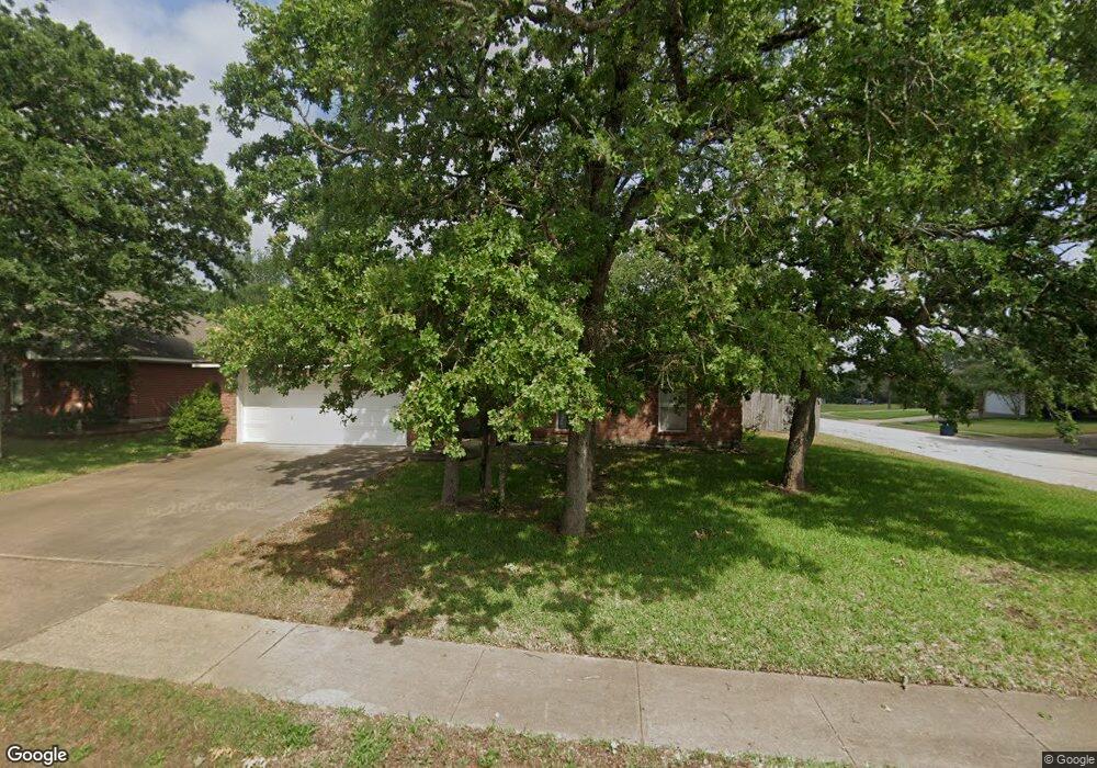
1411 Kernstown Ln College Station, TX 77845
Southern Plantation NeighborhoodEstimated Value: $305,722 - $320,000
4
Beds
2
Baths
1,748
Sq Ft
$179/Sq Ft
Est. Value
About This Home
This home is located at 1411 Kernstown Ln, College Station, TX 77845 and is currently estimated at $312,181, approximately $178 per square foot. 1411 Kernstown Ln is a home located in Brazos County with nearby schools including Cypress Grove Intermediate School, College Station Middle School, and College Station High School.
Ownership History
Date
Name
Owned For
Owner Type
Purchase Details
Closed on
Jul 1, 2011
Sold by
Day Rebecca A and Day Steve B
Bought by
Duka Joey A and Duka Marichu F
Current Estimated Value
Home Financials for this Owner
Home Financials are based on the most recent Mortgage that was taken out on this home.
Original Mortgage
$145,222
Outstanding Balance
$99,861
Interest Rate
4.5%
Mortgage Type
FHA
Estimated Equity
$212,320
Purchase Details
Closed on
Mar 14, 2006
Sold by
Sanders Robert Bruce and Sanders Tracy Leigh
Bought by
Day Steve B and Day Rebecca A
Home Financials for this Owner
Home Financials are based on the most recent Mortgage that was taken out on this home.
Original Mortgage
$20,625
Interest Rate
5.87%
Mortgage Type
Stand Alone Second
Create a Home Valuation Report for This Property
The Home Valuation Report is an in-depth analysis detailing your home's value as well as a comparison with similar homes in the area
Home Values in the Area
Average Home Value in this Area
Purchase History
| Date | Buyer | Sale Price | Title Company |
|---|---|---|---|
| Duka Joey A | -- | University Title Company | |
| Day Steve B | -- | University Title Company |
Source: Public Records
Mortgage History
| Date | Status | Borrower | Loan Amount |
|---|---|---|---|
| Open | Duka Joey A | $145,222 | |
| Previous Owner | Day Steve B | $20,625 | |
| Previous Owner | Day Steve B | $110,000 |
Source: Public Records
Tax History Compared to Growth
Tax History
| Year | Tax Paid | Tax Assessment Tax Assessment Total Assessment is a certain percentage of the fair market value that is determined by local assessors to be the total taxable value of land and additions on the property. | Land | Improvement |
|---|---|---|---|---|
| 2025 | $4,334 | $296,905 | $60,000 | $236,905 |
| 2024 | $4,334 | $282,527 | -- | -- |
| 2023 | $4,334 | $256,843 | $0 | $0 |
| 2022 | $4,978 | $233,494 | $0 | $0 |
| 2021 | $4,794 | $212,267 | $45,000 | $167,267 |
| 2020 | $4,928 | $217,003 | $45,000 | $172,003 |
| 2019 | $4,835 | $204,630 | $40,000 | $164,630 |
| 2018 | $4,685 | $196,880 | $40,000 | $156,880 |
| 2017 | $4,211 | $178,910 | $40,000 | $138,910 |
| 2016 | $4,086 | $173,630 | $30,000 | $143,630 |
| 2015 | $3,343 | $161,330 | $30,000 | $131,330 |
| 2014 | $3,343 | $153,200 | $30,000 | $123,200 |
Source: Public Records
Map
Nearby Homes
- 1412 Richland Ct S
- 1307 Portsmouth Ct
- 1303 Skyline Ct
- 3933 Oriole Ct
- 1502 Bluefield Ct
- 1717 Starling Dr
- 1732 Purple Martin Cove
- 3919 Hawk Owl Cove
- 1101 Pamplin Ct
- 1736 Creekside Cir
- 1742 Creekside Cir
- 1722 Creekside Cir
- 3900 Puffin Way
- 1208 Robinsville Ct
- 4143 Whispering Creek Dr
- 1212 Brunswick Ct
- 4304 Spring Garden Dr
- 1213 Bridgewater Dr
- 1011 Dove Chase Ln
- 915 Dove Run Trail
- 1409 Kernstown Ln
- 3811 Stony Creek Ln
- 3813 Stony Creek Ln
- 1407 Kernstown Ln
- 3800 Stony Creek Ln
- 3802 Stony Creek Ln
- 1410 Kernstown Ln
- 1412 Kernstown Ln
- 3815 Stony Creek Ln
- 3804 Stony Creek Ln
- 1408 Kernstown Ln
- 1414 Kernstown Ln
- 1406 Kernstown Ln
- 3806 Stony Creek Ln
- 3817 Stony Creek Ln
- 1403 Kernstown Ln
- 1404 Kernstown Ln
- 1413 Front Royal Dr
- 3812 Stony Creek Ln
- 1409 Front Royal Dr