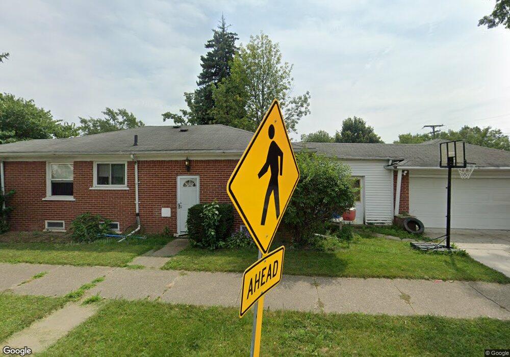
14118 Burns St Southgate, MI 48195
Estimated Value: $166,000 - $193,946
3
Beds
1
Bath
1,146
Sq Ft
$160/Sq Ft
Est. Value
About This Home
This home is located at 14118 Burns St, Southgate, MI 48195 and is currently estimated at $183,487, approximately $160 per square foot. 14118 Burns St is a home located in Wayne County with nearby schools including Grogan Elementary School, Davidson Middle School, and Southgate Anderson High School.
Ownership History
Date
Name
Owned For
Owner Type
Purchase Details
Closed on
Jul 19, 2021
Sold by
Oguin Steven
Bought by
Turgeon Michael J and Turgeon Kelly
Current Estimated Value
Home Financials for this Owner
Home Financials are based on the most recent Mortgage that was taken out on this home.
Original Mortgage
$1,014
Outstanding Balance
$921
Interest Rate
2.96%
Mortgage Type
Land Contract Argmt. Of Sale
Estimated Equity
$182,566
Purchase Details
Closed on
Jun 30, 2021
Sold by
Adorjani Attila
Bought by
Oguin Steven
Home Financials for this Owner
Home Financials are based on the most recent Mortgage that was taken out on this home.
Original Mortgage
$1,014
Outstanding Balance
$921
Interest Rate
2.96%
Mortgage Type
Land Contract Argmt. Of Sale
Estimated Equity
$182,566
Purchase Details
Closed on
Dec 22, 1999
Sold by
Goodman Dorothy
Bought by
Poletti So
Purchase Details
Closed on
Feb 26, 1998
Sold by
Sm Patricia and Sm Patricia M
Bought by
Goodman Dorothy
Create a Home Valuation Report for This Property
The Home Valuation Report is an in-depth analysis detailing your home's value as well as a comparison with similar homes in the area
Home Values in the Area
Average Home Value in this Area
Purchase History
| Date | Buyer | Sale Price | Title Company |
|---|---|---|---|
| Turgeon Michael J | $129,500 | Michigan Title Ins Agcy Inc | |
| Oguin Steven | $120,000 | Michigan Title Ins Agcy Inc | |
| Poletti So | $98,000 | -- | |
| Goodman Dorothy | $70,000 | -- |
Source: Public Records
Mortgage History
| Date | Status | Borrower | Loan Amount |
|---|---|---|---|
| Open | Turgeon Michael J | $1,014 |
Source: Public Records
Tax History Compared to Growth
Tax History
| Year | Tax Paid | Tax Assessment Tax Assessment Total Assessment is a certain percentage of the fair market value that is determined by local assessors to be the total taxable value of land and additions on the property. | Land | Improvement |
|---|---|---|---|---|
| 2025 | $3,707 | $93,400 | $0 | $0 |
| 2024 | $3,707 | $88,200 | $0 | $0 |
| 2023 | $3,540 | $78,700 | $0 | $0 |
| 2022 | $4,106 | $70,900 | $0 | $0 |
| 2021 | $3,431 | $63,600 | $0 | $0 |
| 2020 | $3,375 | $56,600 | $0 | $0 |
| 2019 | $3,329 | $50,700 | $0 | $0 |
| 2018 | $2,704 | $47,600 | $0 | $0 |
| 2017 | $1,149 | $44,100 | $0 | $0 |
| 2016 | $3,676 | $45,600 | $0 | $0 |
| 2015 | $4,077 | $44,000 | $0 | $0 |
| 2013 | $3,950 | $40,500 | $0 | $0 |
| 2012 | $2,520 | $38,800 | $4,900 | $33,900 |
Source: Public Records
Map
Nearby Homes
- 13480 Argyle St
- 13460 Chestnut St
- 13440 Phelps St
- 13650 Jobin St
- 13459 Jobin St
- 14555 Burns St
- 14567 Longtin St
- 13728 Agnes St
- 13546 Trenton Rd
- 14620 Trenton Rd
- 14370 Pearl St
- 13311 Castle St
- 13787 Irene St
- 13632 Pearl St
- 14548 Pearl St
- 13847 Helen St
- 12937 Walnut St
- 13395 Pullman St
- 12753 Backus St
- 13335 Pullman St
- 14136 Burns St
- 13649 Commonwealth St
- 14168 Burns St
- 13669 Commonwealth St
- 13644 Commonwealth St
- 14133 Burns St
- 14145 Burns St
- 13648 Argyle St
- 14075 Burns St
- 14157 Burns St
- 13660 Commonwealth St
- 14061 Burns St
- 14171 Burns St
- 13557 Commonwealth St
- 14049 Burns St
- 13676 Commonwealth St
- 13693 Commonwealth St
- 13672 Argyle St
- 13556 Commonwealth St
- 14037 Burns St