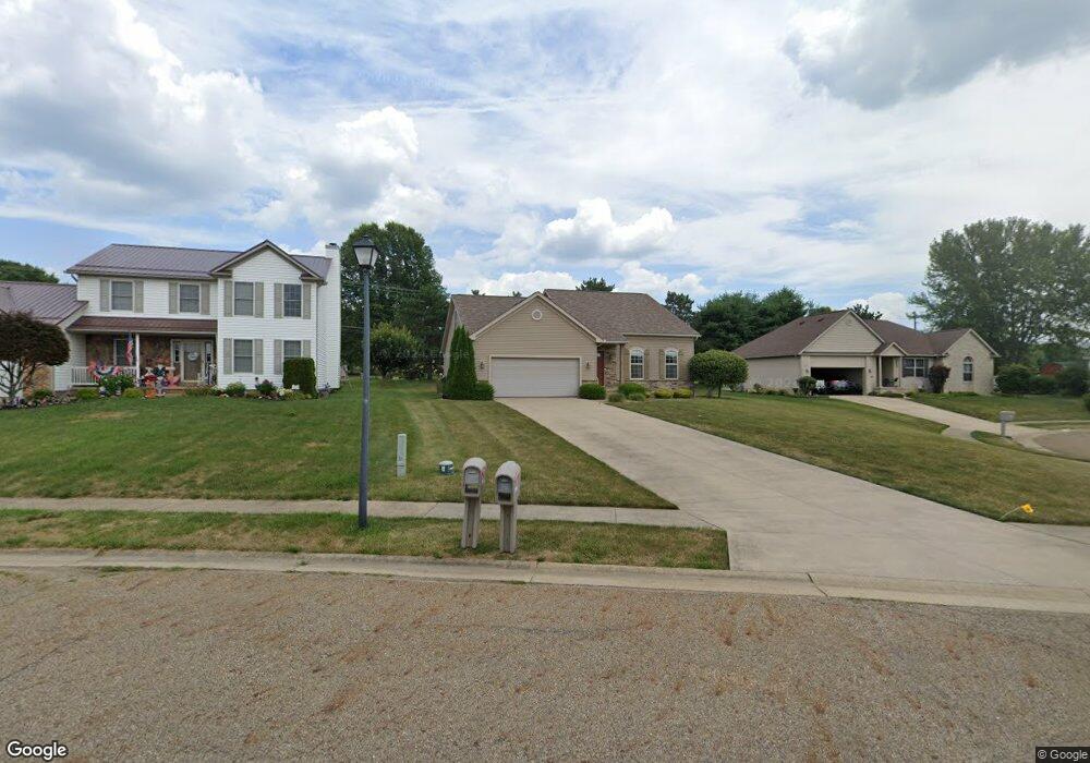
1414 W Chester Dr Louisville, OH 44641
Estimated Value: $272,000 - $318,000
3
Beds
3
Baths
2,052
Sq Ft
$147/Sq Ft
Est. Value
About This Home
This home is located at 1414 W Chester Dr, Louisville, OH 44641 and is currently estimated at $302,202, approximately $147 per square foot. 1414 W Chester Dr is a home located in Stark County with nearby schools including Louisville High School and St. Thomas Aquinas High School & Middle School.
Ownership History
Date
Name
Owned For
Owner Type
Purchase Details
Closed on
May 9, 2007
Sold by
Colonial Homes Inc
Bought by
Nicholas Dustin P
Current Estimated Value
Home Financials for this Owner
Home Financials are based on the most recent Mortgage that was taken out on this home.
Original Mortgage
$123,750
Outstanding Balance
$75,396
Interest Rate
6.2%
Mortgage Type
Purchase Money Mortgage
Estimated Equity
$226,806
Purchase Details
Closed on
Nov 16, 2006
Sold by
Tac Development Co Inc
Bought by
Colonial Homes Inc
Home Financials for this Owner
Home Financials are based on the most recent Mortgage that was taken out on this home.
Original Mortgage
$110,000
Interest Rate
6.41%
Mortgage Type
Construction
Purchase Details
Closed on
Feb 8, 2006
Sold by
Noble Homes Inc
Bought by
Tac Development Co Inc
Create a Home Valuation Report for This Property
The Home Valuation Report is an in-depth analysis detailing your home's value as well as a comparison with similar homes in the area
Home Values in the Area
Average Home Value in this Area
Purchase History
| Date | Buyer | Sale Price | Title Company |
|---|---|---|---|
| Nicholas Dustin P | $165,000 | None Available | |
| Colonial Homes Inc | $30,000 | Attorney | |
| Tac Development Co Inc | $150,000 | Land America-Lawyers Title |
Source: Public Records
Mortgage History
| Date | Status | Borrower | Loan Amount |
|---|---|---|---|
| Open | Nicholas Dustin P | $123,750 | |
| Previous Owner | Colonial Homes Inc | $110,000 |
Source: Public Records
Tax History Compared to Growth
Tax History
| Year | Tax Paid | Tax Assessment Tax Assessment Total Assessment is a certain percentage of the fair market value that is determined by local assessors to be the total taxable value of land and additions on the property. | Land | Improvement |
|---|---|---|---|---|
| 2025 | -- | $88,310 | $20,620 | $67,690 |
| 2024 | -- | $88,310 | $20,620 | $67,690 |
| 2023 | $2,760 | $64,230 | $14,560 | $49,670 |
| 2022 | $2,766 | $64,230 | $14,560 | $49,670 |
| 2021 | $2,774 | $64,230 | $14,560 | $49,670 |
| 2020 | $2,328 | $58,560 | $13,130 | $45,430 |
| 2019 | $2,338 | $57,760 | $13,130 | $44,630 |
| 2018 | $2,297 | $57,760 | $13,130 | $44,630 |
| 2017 | $2,148 | $52,120 | $12,390 | $39,730 |
| 2016 | $2,193 | $52,120 | $12,390 | $39,730 |
| 2015 | $2,199 | $52,120 | $12,390 | $39,730 |
| 2014 | $224 | $49,010 | $11,660 | $37,350 |
| 2013 | $1,116 | $49,010 | $11,660 | $37,350 |
Source: Public Records
Map
Nearby Homes
- 1175 Sturbridge Dr
- 1149 Sturbridge Dr
- 0 Brookridge Ave
- 3580 Brookridge Ave Lot 15
- 0 Glenbar St
- 524 Glenbar St
- 1561 Noel St
- 300 Kennedy St
- 248 Menegay Rd
- 428 Honeycrisp Dr NE
- 3047 Mcintosh Dr NE
- 432 Honeycrisp Dr NE
- 2962 Mcintosh Dr NE
- 2963 Mcintosh Dr NE
- 430 Honeycrisp Dr NE
- 2957 Mcintosh Dr NE
- 5474 Ravenna Ave
- 201 Indiana Ave
- 316 E Reno Dr
- 344 E Reno Dr
- 1424 W Chester Dr
- 1424 W Chester Dr
- 1402 Umberto Ct
- 1438 W Chester Dr
- 1421 W Chester Dr
- 1392 Umberto Ct
- 1378 Umberto Ct
- 6811 Reno Dr
- 6755 Reno Dr
- 1437 W Chester Dr
- 0 Reno Dr NE
- 1361 W Chester Dr
- 1364 W Chester Dr
- 6858 Reno Dr
- 1393 Filomena Cir
- 1383 Filomena Cir
- 1354 W Chester Dr
- 1358 Filomena Cir
- 1373 Filomena Cir
- 1351 W Chester Dr