Estimated Value: $364,000 - $421,000
3
Beds
1
Bath
1,056
Sq Ft
$372/Sq Ft
Est. Value
About This Home
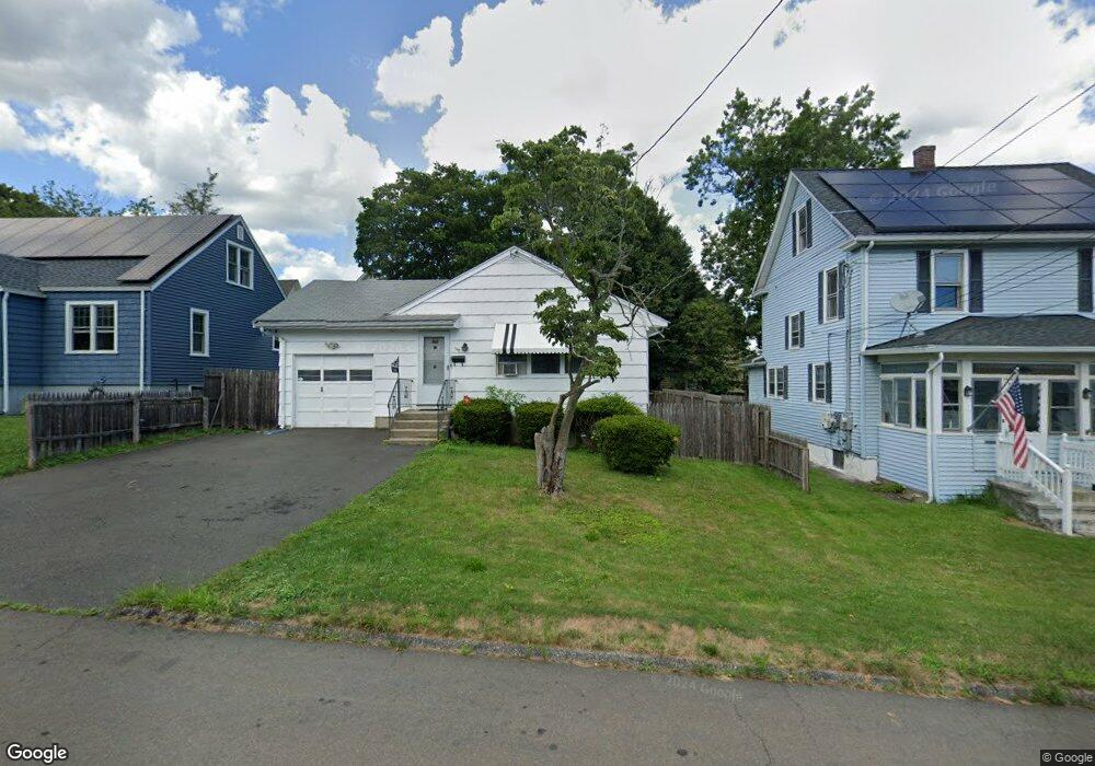
This home is located at 142 Colony St, Stratford, CT 06615 and is currently estimated at $393,135, approximately $372 per square foot. 142 Colony St is a home located in Fairfield County with nearby schools including Stratford Academy - Johnson House, David Wooster Middle School, and Stratford High School.
Ownership History
Date
Name
Owned For
Owner Type
Purchase Details
Closed on
Dec 30, 1998
Sold by
Kirby Charles and Kirby Jane
Bought by
Vietri Nancy and Vietri Laura
Current Estimated Value
Home Financials for this Owner
Home Financials are based on the most recent Mortgage that was taken out on this home.
Original Mortgage
$115,400
Interest Rate
6.84%
Create a Home Valuation Report for This Property
The Home Valuation Report is an in-depth analysis detailing your home's value as well as a comparison with similar homes in the area
Home Values in the Area
Average Home Value in this Area
Purchase History
| Date | Buyer | Sale Price | Title Company |
|---|---|---|---|
| Vietri Nancy | $125,500 | -- |
Source: Public Records
Mortgage History
| Date | Status | Borrower | Loan Amount |
|---|---|---|---|
| Open | Vietri Nancy | $135,000 | |
| Closed | Vietri Nancy | $115,400 |
Source: Public Records
Tax History Compared to Growth
Tax History
| Year | Tax Paid | Tax Assessment Tax Assessment Total Assessment is a certain percentage of the fair market value that is determined by local assessors to be the total taxable value of land and additions on the property. | Land | Improvement |
|---|---|---|---|---|
| 2025 | $5,862 | $145,810 | $61,320 | $84,490 |
| 2024 | $5,862 | $145,810 | $61,320 | $84,490 |
| 2023 | $5,862 | $145,810 | $61,320 | $84,490 |
| 2022 | $5,754 | $145,810 | $61,320 | $84,490 |
| 2021 | $5,755 | $145,810 | $61,320 | $84,490 |
| 2020 | $5,780 | $145,810 | $61,320 | $84,490 |
| 2019 | $4,390 | $110,110 | $40,670 | $69,440 |
| 2018 | $4,393 | $110,110 | $40,670 | $69,440 |
| 2017 | $4,401 | $110,110 | $40,670 | $69,440 |
| 2016 | $4,293 | $110,110 | $40,670 | $69,440 |
| 2015 | $4,072 | $110,110 | $40,670 | $69,440 |
| 2014 | $4,654 | $130,620 | $56,700 | $73,920 |
Source: Public Records
Map
Nearby Homes
- 54 Vernon St
- 30 Winfield Dr
- 196 Oakland St
- 40 California St Unit B9
- 204 California St
- 160 Oakland Place
- 41 Burritt Ave
- 1700 Broadbridge Ave Unit B17
- 1700 Broadbridge Ave Unit A16
- 528 Soundview Ave
- 258 Booth St
- 59 Lenox Ave
- 15 Johnson Ave
- 32 Franklin Ave
- 1867 Broadbridge Ave
- 154 Soundview Ave
- 202 Canaan Rd
- 581 California St
- 2152 Barnum Ave
- 1198 Wells Place
- 150 Colony St
- 136 Colony St
- 166 Colony St
- 126 Colony St
- 1551 W Broad St
- 1571 W Broad St
- 1581 W Broad St
- 1541 W Broad St
- 1541 W Broad St Unit 1545
- 1541 W Broad St Unit 1543
- 1555 W Broad St Unit 3
- 1555 W Broad St Unit 3rd F
- 1555 W Broad St
- 1553 W Broad St Unit 2
- 1553 W Broad St Unit 2nd F
- 1553 W Broad St Unit 2nd
- 1553 W Broad St
- 116 Colony St
- 172 Colony St
- 145 Colony St