142 Lands Dr NE Unit 25 Milledgeville, GA 31061
Estimated Value: $802,000 - $1,021,000
4
Beds
3
Baths
2,925
Sq Ft
$315/Sq Ft
Est. Value
About This Home
This home is located at 142 Lands Dr NE Unit 25, Milledgeville, GA 31061 and is currently estimated at $921,804, approximately $315 per square foot. 142 Lands Dr NE Unit 25 is a home with nearby schools including Lewis Elementary School, Hancock Central Middle School, and Hancock Central High School.
Ownership History
Date
Name
Owned For
Owner Type
Purchase Details
Closed on
Sep 28, 2017
Sold by
Rodgers Elizabeth Ann
Bought by
Smith Lonnie and Smith Kimberly
Current Estimated Value
Home Financials for this Owner
Home Financials are based on the most recent Mortgage that was taken out on this home.
Original Mortgage
$372,847
Outstanding Balance
$311,432
Interest Rate
3.82%
Mortgage Type
VA
Estimated Equity
$610,372
Purchase Details
Closed on
Mar 2, 2015
Sold by
Rodgers Robert Fulton
Bought by
Rodgers Elizabeth Ann
Purchase Details
Closed on
Mar 20, 1998
Sold by
Mccommon Jerry J
Bought by
Rodgers Robert F
Purchase Details
Closed on
Aug 1, 1995
Bought by
Mccommon Jerry J
Create a Home Valuation Report for This Property
The Home Valuation Report is an in-depth analysis detailing your home's value as well as a comparison with similar homes in the area
Home Values in the Area
Average Home Value in this Area
Purchase History
| Date | Buyer | Sale Price | Title Company |
|---|---|---|---|
| Smith Lonnie | $365,000 | -- | |
| Rodgers Elizabeth Ann | -- | -- | |
| Rodgers Robert F | $138,000 | -- | |
| Mccommon Jerry J | $28,000 | -- |
Source: Public Records
Mortgage History
| Date | Status | Borrower | Loan Amount |
|---|---|---|---|
| Open | Smith Lonnie | $372,847 |
Source: Public Records
Tax History Compared to Growth
Tax History
| Year | Tax Paid | Tax Assessment Tax Assessment Total Assessment is a certain percentage of the fair market value that is determined by local assessors to be the total taxable value of land and additions on the property. | Land | Improvement |
|---|---|---|---|---|
| 2025 | $7,004 | $287,388 | $77,720 | $209,668 |
| 2024 | $7,004 | $287,388 | $77,720 | $209,668 |
| 2023 | $5,771 | $236,812 | $64,768 | $172,044 |
| 2022 | $5,634 | $240,152 | $64,768 | $175,384 |
| 2021 | $5,714 | $220,584 | $64,768 | $155,816 |
| 2020 | $5,634 | $220,584 | $64,768 | $155,816 |
| 2019 | $3,757 | $146,480 | $64,800 | $81,680 |
| 2018 | $3,756 | $146,480 | $64,800 | $81,680 |
| 2017 | $3,480 | $146,480 | $64,800 | $81,680 |
| 2016 | $3,148 | $127,000 | $43,680 | $83,320 |
| 2015 | -- | $127,000 | $43,680 | $83,320 |
| 2014 | $3,160 | $127,000 | $43,680 | $83,320 |
Source: Public Records
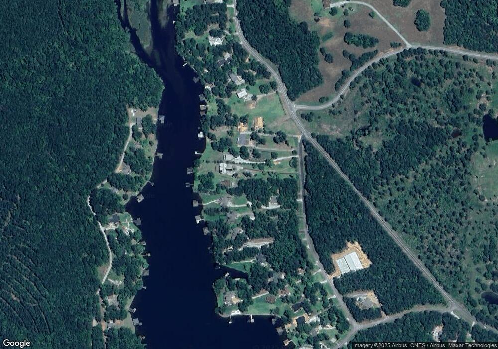
Map
Nearby Homes
- 81 Mariners Dr NE
- 99 Mariners Dr NE
- 0 Carrs Station Rd Unit 1024751
- 0 Carrs Station Rd Unit 10489504
- 0 Carrs Station Rd Unit 68233
- 117 Island Dr NE
- 116 Island Dr NE
- 134 Rocky Creek Ct NE
- 109 Falls Ln NE
- 147 Falls Ln NE
- 134 Pineview Rd Unit 134 Pineview Road NE
- 134 Pineview Rd
- 320 Whispering Ridge NE
- 320 Whispering Ridge NE Unit 320 Whispering Ridge
- 200 Whispering Ridge NE Unit LOT 10
- 227 Whispering Ridge NE
- 210 Whispering Ridge NE
- 124 Gumm Cemetery Rd NE
- 104 Gumm Cemetery Rd NE
- 199 Falls Ln NE
- 142 Lands Dr NE
- 140 Lands Dr NE
- 144 Lands Dr NE
- 146 Lands Dr NE
- 138 Lands Dr NE
- 0 Gary Dr NE Unit 2 PAR
- 0 Gary Dr NE Unit 2 PAR 3110445
- 0 Gary Dr NE Unit 3213259
- 0 Gary Dr NE Unit 3094655
- 0 Gary Dr NE Unit 8265150
- 136 Lands Dr NE
- 100 Gary Dr NE
- 134 Lands Dr NE
- 102 Gary Dr NE
- 132 Lands Dr NE Unit 20
- 132 Lands Dr NE
- 391 Hub Dent Rd NE
- 104 Gary Dr NE
- 392 Hub Dent Rd NE
- 392 Hub Dent Rd NE Unit 245