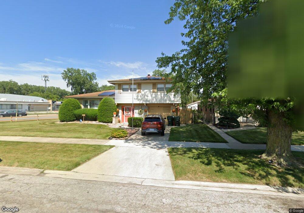
14229 Kenwood Ave Dolton, IL 60419
Estimated Value: $189,646 - $233,000
3
Beds
2
Baths
1,419
Sq Ft
$145/Sq Ft
Est. Value
About This Home
This home is located at 14229 Kenwood Ave, Dolton, IL 60419 and is currently estimated at $205,912, approximately $145 per square foot. 14229 Kenwood Ave is a home located in Cook County with nearby schools including Diekman Elementary School, Carol Moseley Braun School, and School Of Fine Arts Academy.
Ownership History
Date
Name
Owned For
Owner Type
Purchase Details
Closed on
Jul 26, 2005
Sold by
Thrailkill Eva M
Bought by
Standard Bank & Trust Co and Trust #18168
Current Estimated Value
Purchase Details
Closed on
Mar 30, 2004
Sold by
Bank Financial Fsb
Bought by
Standard Bank & Trust Co and Trust #18168
Purchase Details
Closed on
Dec 4, 2003
Sold by
Thrailkill Eva
Bought by
Bankfinancial Fsb and Trust #010410
Purchase Details
Closed on
Jun 19, 2003
Sold by
Banks Richard
Bought by
Citifinancial Mortgage Co Inc
Create a Home Valuation Report for This Property
The Home Valuation Report is an in-depth analysis detailing your home's value as well as a comparison with similar homes in the area
Home Values in the Area
Average Home Value in this Area
Purchase History
| Date | Buyer | Sale Price | Title Company |
|---|---|---|---|
| Standard Bank & Trust Co | -- | None Available | |
| Standard Bank & Trust Co | -- | -- | |
| Bankfinancial Fsb | -- | -- | |
| Bankfinancial F S B | -- | Ticor Title Insurance Compan | |
| Citifinancial Mortgage Co Inc | -- | -- | |
| Citifinancial Mortgage Co Inc | -- | -- |
Source: Public Records
Tax History Compared to Growth
Tax History
| Year | Tax Paid | Tax Assessment Tax Assessment Total Assessment is a certain percentage of the fair market value that is determined by local assessors to be the total taxable value of land and additions on the property. | Land | Improvement |
|---|---|---|---|---|
| 2024 | $5,096 | $15,000 | $1,870 | $13,130 |
| 2023 | $3,727 | $15,000 | $1,870 | $13,130 |
| 2022 | $3,727 | $11,305 | $1,650 | $9,655 |
| 2021 | $3,657 | $11,304 | $1,650 | $9,654 |
| 2020 | $5,276 | $11,304 | $1,650 | $9,654 |
| 2019 | $6,970 | $9,558 | $1,540 | $8,018 |
| 2018 | $6,941 | $9,558 | $1,540 | $8,018 |
| 2017 | $6,567 | $9,558 | $1,540 | $8,018 |
| 2016 | $6,428 | $10,084 | $1,430 | $8,654 |
| 2015 | $3,440 | $10,084 | $1,430 | $8,654 |
| 2014 | $4,570 | $10,084 | $1,430 | $8,654 |
| 2013 | $4,990 | $11,379 | $1,430 | $9,949 |
Source: Public Records
Map
Nearby Homes
- 14301 Kenwood Ave
- 14301 Kimbark Ave
- 14248 Avalon Ave
- 14409 Kimbark Ave
- 14417 Dorchester Ave
- 14428 Dante Ave
- 14238 Woodlawn Ave
- 14405 Woodlawn Ave
- 14441 Dante Ave
- 14223 University Ave
- 14519 Kenwood Ave
- 14237 Minerva Ave
- 1926 State St
- 14234 Minerva Ave
- 14516 Harper Ave
- 14214 Minerva Ave
- 1425 Kasten Dr
- 1429 Kasten Dr
- 14447 University Ave
- 14429 Minerva Ave
- 14231 Kenwood Ave
- 14237 Kenwood Ave
- 14241 Kenwood Ave
- 14230 Kenwood Ave
- 14228 Kenwood Ave
- 14245 Kenwood Ave
- 14234 Kenwood Ave
- 14226 Kenwood Ave
- 14242 Dorchester Ave
- 14236 Kenwood Ave
- 14224 Kenwood Ave
- 14224 Kenwood Ave
- 14240 Kenwood Ave
- 14249 Kenwood Ave
- 17212 S Kenwood Ave
- 14244 Kenwood Ave
- 14244 Dorchester Ave
- 14248 Kenwood Ave
- 14248 Dorchester Ave
- 1330 E 142nd St