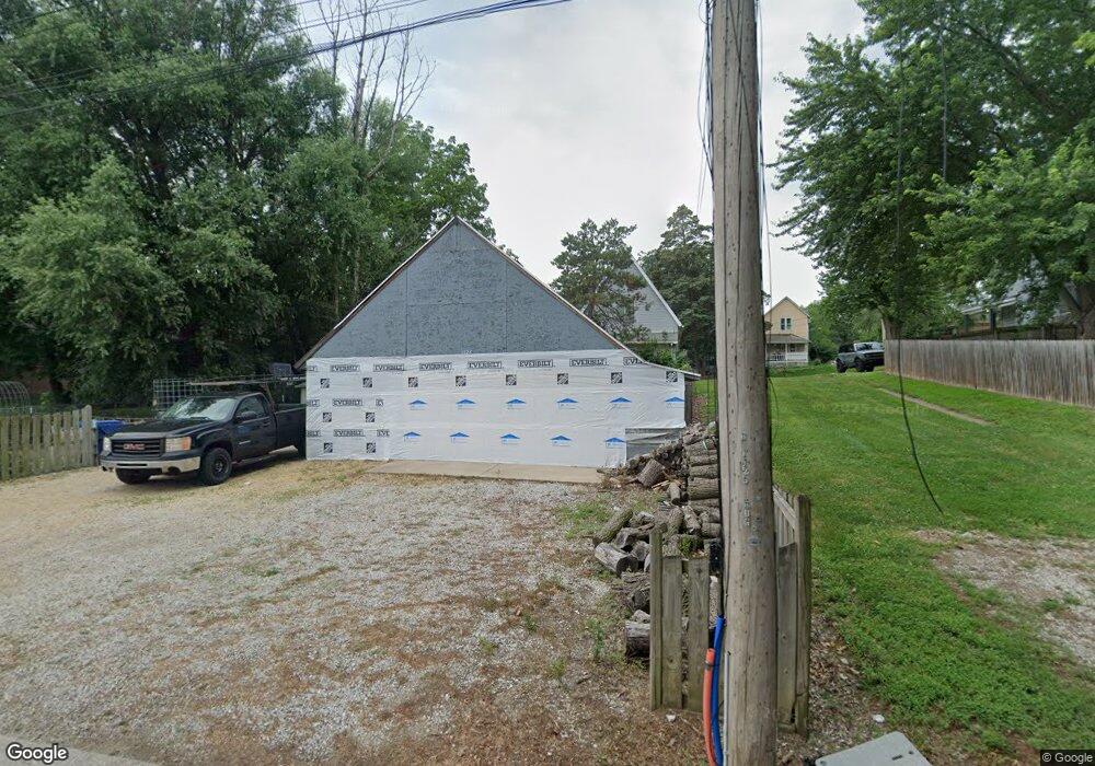
1425 Bridge Ave Davenport, IA 52803
East End NeighborhoodEstimated Value: $55,000 - $111,000
2
Beds
1
Bath
990
Sq Ft
$73/Sq Ft
Est. Value
About This Home
This home is located at 1425 Bridge Ave, Davenport, IA 52803 and is currently estimated at $72,481, approximately $73 per square foot. 1425 Bridge Ave is a home located in Scott County with nearby schools including McKinley Elementary School, Casey County Middle School, and Hopkinsville Middle School.
Ownership History
Date
Name
Owned For
Owner Type
Purchase Details
Closed on
Jun 6, 2011
Sold by
Habitat For Humanity Quad Cities
Bought by
Brown Robert Roland
Current Estimated Value
Purchase Details
Closed on
Jan 11, 2010
Sold by
Myli Harvey P and Myli Shirley A
Bought by
Habitat For Humanity Quad Cities
Purchase Details
Closed on
Apr 27, 2007
Sold by
Mathews Nancy K
Bought by
Shoultz Karen K
Purchase Details
Closed on
Apr 26, 2007
Sold by
Shoultz Karen K
Bought by
Myli Harvey P and Myli Shirley A
Create a Home Valuation Report for This Property
The Home Valuation Report is an in-depth analysis detailing your home's value as well as a comparison with similar homes in the area
Home Values in the Area
Average Home Value in this Area
Purchase History
| Date | Buyer | Sale Price | Title Company |
|---|---|---|---|
| Brown Robert Roland | $1,000 | None Available | |
| Habitat For Humanity Quad Cities | -- | None Available | |
| Shoultz Karen K | $35,000 | None Available | |
| Myli Harvey P | $32,500 | None Available |
Source: Public Records
Tax History Compared to Growth
Tax History
| Year | Tax Paid | Tax Assessment Tax Assessment Total Assessment is a certain percentage of the fair market value that is determined by local assessors to be the total taxable value of land and additions on the property. | Land | Improvement |
|---|---|---|---|---|
| 2025 | $70 | $3,920 | $3,920 | $0 |
| 2024 | $68 | $3,920 | $3,920 | $0 |
| 2023 | $46 | $3,920 | $3,920 | $0 |
| 2022 | $46 | $2,130 | $2,130 | $0 |
| 2021 | $46 | $2,130 | $2,130 | $0 |
| 2020 | $46 | $2,130 | $2,130 | $0 |
| 2019 | $48 | $2,130 | $2,130 | $0 |
| 2018 | $46 | $2,130 | $2,130 | $0 |
| 2017 | $12 | $2,130 | $2,130 | $0 |
| 2016 | $46 | $2,130 | $0 | $0 |
| 2015 | $46 | $2,130 | $0 | $0 |
| 2014 | $48 | $2,130 | $0 | $0 |
| 2013 | $46 | $0 | $0 | $0 |
| 2012 | -- | $2,200 | $2,200 | $0 |
Source: Public Records
Map
Nearby Homes
- 1501 Bridge Ave
- 1020 E 15th St
- 1310 Kirkwood Blvd
- 1616 Esplanade Ave
- 1220 College Ave
- 1626 Esplanade Ave
- 1603 Arlington Ave
- 1605 Arlington Ave
- 1920 Carey Ave
- 1224 E 11th St
- 1325 Mississippi Ave
- 1102 College Ave
- 1134 Tremont Ave
- 1012 Bridge Ave
- 11 Oak Ln
- 1202 Adams St
- 637 E 15th St
- 1004 College Ave
- 2030 Esplanade Ave
- 1108 Arlington Ave
- 1423 Bridge Ave
- 1431 Bridge Ave
- 1430 Bridge Ave
- 1422 Bridge Ave
- 1411 Bridge Ave
- 1411 Bridge Ave Unit 4
- 1411 Bridge Ave Unit 3
- 1412 Bridge Ave
- 1145 E 15th St
- 1507 Bridge Ave
- 1509 Bridge Ave
- 1137 E 15th St
- 1407 Bridge Ave
- 1424 College Ave
- 1434 College Ave
- 1416 College Ave
- 1156 E 15th St
- 1154 E 14th St
- 1135 E 15th St
- 1152 E 14th St