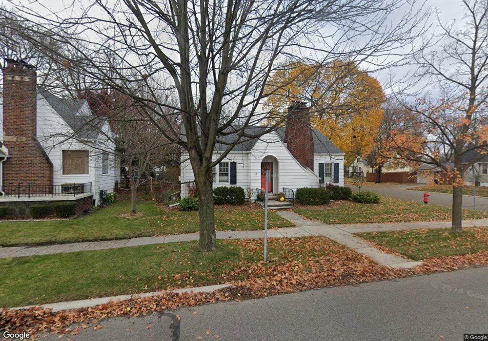
1432 20th St Port Huron, MI 48060
Estimated Value: $135,026 - $163,000
2
Beds
2
Baths
943
Sq Ft
$152/Sq Ft
Est. Value
About This Home
This home is located at 1432 20th St, Port Huron, MI 48060 and is currently estimated at $143,007, approximately $151 per square foot. 1432 20th St is a home located in St. Clair County with nearby schools including Michigamme Elementary School, Central Middle School, and Port Huron High School.
Ownership History
Date
Name
Owned For
Owner Type
Purchase Details
Closed on
Jan 8, 2015
Sold by
Lanschoot Ward Julie and Landschoot Julie
Bought by
Ward William Michael and Lanschoot Ward Julie
Current Estimated Value
Purchase Details
Closed on
Jan 26, 2007
Sold by
Kronner Charlotte and Fockler Dana
Bought by
Landschoot Julie
Home Financials for this Owner
Home Financials are based on the most recent Mortgage that was taken out on this home.
Original Mortgage
$94,516
Outstanding Balance
$56,611
Interest Rate
6.16%
Mortgage Type
FHA
Estimated Equity
$86,396
Create a Home Valuation Report for This Property
The Home Valuation Report is an in-depth analysis detailing your home's value as well as a comparison with similar homes in the area
Home Values in the Area
Average Home Value in this Area
Purchase History
| Date | Buyer | Sale Price | Title Company |
|---|---|---|---|
| Ward William Michael | -- | None Available | |
| Landschoot Julie | $96,000 | None Available |
Source: Public Records
Mortgage History
| Date | Status | Borrower | Loan Amount |
|---|---|---|---|
| Open | Landschoot Julie | $94,516 |
Source: Public Records
Tax History Compared to Growth
Tax History
| Year | Tax Paid | Tax Assessment Tax Assessment Total Assessment is a certain percentage of the fair market value that is determined by local assessors to be the total taxable value of land and additions on the property. | Land | Improvement |
|---|---|---|---|---|
| 2025 | $1,382 | $59,200 | $0 | $0 |
| 2024 | $1,129 | $57,600 | $0 | $0 |
| 2023 | $1,066 | $52,200 | $0 | $0 |
| 2022 | $1,064 | $45,900 | $0 | $0 |
| 2021 | $1,011 | $42,300 | $0 | $0 |
| 2020 | $1,022 | $38,300 | $38,300 | $0 |
| 2019 | $1,004 | $27,500 | $0 | $0 |
| 2018 | $982 | $27,500 | $0 | $0 |
| 2016 | $742 | $23,800 | $0 | $0 |
| 2015 | $728 | $21,500 | $21,500 | $0 |
| 2014 | $728 | $20,300 | $20,300 | $0 |
| 2013 | -- | $20,400 | $0 | $0 |
Source: Public Records
Map
Nearby Homes