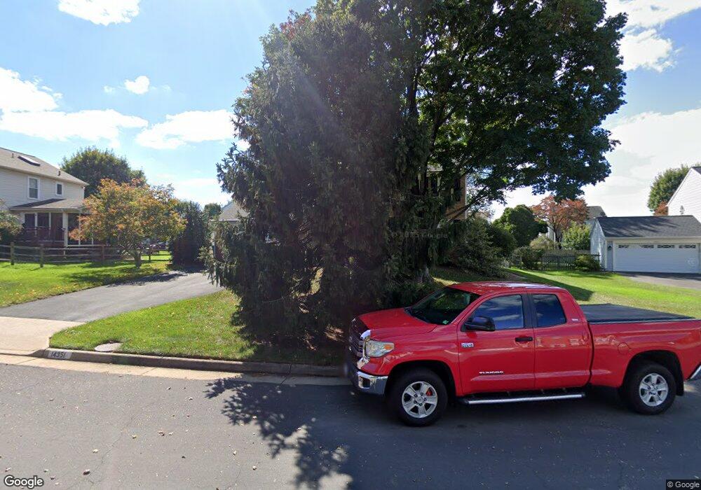
14351 Locust Grove Ct Centreville, VA 20120
Estimated Value: $866,000 - $927,000
4
Beds
4
Baths
2,530
Sq Ft
$350/Sq Ft
Est. Value
About This Home
This home is located at 14351 Locust Grove Ct, Centreville, VA 20120 and is currently estimated at $886,620, approximately $350 per square foot. 14351 Locust Grove Ct is a home located in Fairfax County with nearby schools including Cub Run Elementary, Ormond Stone Middle School, and Westfield High School.
Ownership History
Date
Name
Owned For
Owner Type
Purchase Details
Closed on
Nov 20, 1998
Sold by
Smyser William E
Bought by
Meeks Timothy H
Current Estimated Value
Home Financials for this Owner
Home Financials are based on the most recent Mortgage that was taken out on this home.
Original Mortgage
$211,200
Outstanding Balance
$45,695
Interest Rate
6.49%
Estimated Equity
$840,925
Create a Home Valuation Report for This Property
The Home Valuation Report is an in-depth analysis detailing your home's value as well as a comparison with similar homes in the area
Home Values in the Area
Average Home Value in this Area
Purchase History
| Date | Buyer | Sale Price | Title Company |
|---|---|---|---|
| Meeks Timothy H | $264,000 | -- |
Source: Public Records
Mortgage History
| Date | Status | Borrower | Loan Amount |
|---|---|---|---|
| Open | Meeks Timothy H | $211,200 |
Source: Public Records
Tax History Compared to Growth
Tax History
| Year | Tax Paid | Tax Assessment Tax Assessment Total Assessment is a certain percentage of the fair market value that is determined by local assessors to be the total taxable value of land and additions on the property. | Land | Improvement |
|---|---|---|---|---|
| 2025 | $8,472 | $799,330 | $305,000 | $494,330 |
| 2024 | $8,472 | $731,280 | $290,000 | $441,280 |
| 2023 | $8,253 | $731,280 | $290,000 | $441,280 |
| 2022 | $8,036 | $702,790 | $275,000 | $427,790 |
| 2021 | $7,081 | $603,450 | $230,000 | $373,450 |
| 2020 | $6,685 | $564,880 | $230,000 | $334,880 |
| 2019 | $6,396 | $540,400 | $220,000 | $320,400 |
| 2018 | $6,041 | $525,270 | $215,000 | $310,270 |
| 2017 | $5,955 | $512,880 | $210,000 | $302,880 |
| 2016 | $5,942 | $512,880 | $210,000 | $302,880 |
| 2015 | $5,724 | $512,880 | $210,000 | $302,880 |
| 2014 | $5,351 | $480,530 | $200,000 | $280,530 |
Source: Public Records
Map
Nearby Homes
- 5417 Gladewright Dr
- 5515 Buggy Whip Dr
- 5515 Belle Pond Dr
- 5127 Woodfield Dr
- 14415 Glencrest Cir Unit 112
- 5100 Castle Harbor Way Unit 117
- 5155 Woodfield Dr
- 14437 Glencrest Cir Unit 129
- 5570 Village Center Dr
- 14286 Patriarch Ct
- 14600 Stone Range Dr
- 14700 Cranoke St
- 5705 Croatan Ct
- 14722 Braddock Rd
- 14801 Carlbern Dr
- 14714 Cranoke St
- 14617 Woodspring Ct
- 4915 Longmire Way Unit 124
- 14722 Winterfield Ct
- 14725 Lock Dr
- 5220 Belle Plains Dr
- 5216 Belle Plains Dr
- 5211 Knoughton Way
- 5222 Belle Plains Dr
- 5212 Belle Plains Dr
- 14355 Locust Grove Ct
- 14352 Locust Grove Ct
- 5209 Knoughton Way
- 14354 Locust Grove Ct
- 5219 Belle Plains Dr
- 5205 Knoughton Way
- 5217 Belle Plains Dr
- 5210 Belle Plains Dr
- 5221 Belle Plains Dr
- 5203 Knoughton Way
- 5212 Knoughton Way
- 5213 Belle Plains Dr
- 5210 Knoughton Way
- 5226 Belle Plains Dr
- 14385 Round Lick Ln